Old Maps of Florence, Minnesota for Hiking & Exploration
Hike through history with 9 historic maps of Florence. Explore old trails, ghost towns, and forgotten backroads — perfect for outdoor adventurers and local explorers.
- Rediscover forgotten places: Map out old mining camps, roads, and footpaths that no longer exist on modern maps.
- Layer with modern tools: Combine with LiDAR or satellite views to plan hikes through historical terrain.
- Made for exploration: Popular among hikers, overlanders, and local history lovers.
Use these maps to find adventure and explore the hidden past of Florence.
Florence, MN maps
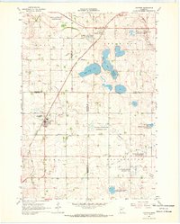
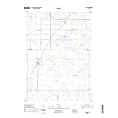
(9)- 1953 Map of Watertown, 1968 Print
 1953 Watertown1968 Print · USGSEastern South Dakota and the Minnesota borderlands are captured here during the mid-twentieth century as the region's agricultural and rail-service centers thrived. Genealogists and local historians can trace family-named sites across the Coteau des Prairies and find landmarks in Watertown, De Smet, and Brookings.3 unique versions available
 - 1958 Map of Watertown
 1958 Watertown1958 Print · USGSThe eastern South Dakota prairie and the Minnesota borderlands are captured here in the late fifties, showcasing a landscape of terminal moraine lakes and burgeoning rail hubs. Genealogists and historians can trace the early paths of the Chicago and North Western railroad or locate family roots in Watertown, Clark, or the Sisseton Indian Reservation.2 unique versions available
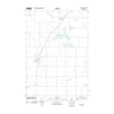
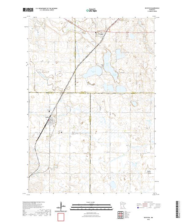
 - 1967 Map of Ruthton, 1968 Print
 1967 Ruthton1968 Print · USGSThe rail-and-river landscape of the Minnesota prairie comes into focus in the mid-1960s, centered on the settlements of Ruthton and Florence. Researchers can trace old family burial sites at Opdal Cem and Peace Cem or follow the path of the Great Northern railroad.
 - 1985 Map of Brookings
 1985 Brookings1985 Print · USGSThe South Dakota and Minnesota borderlands in the mid-1980s are defined here by a network of prairie lakes and bustling rail corridors. Researchers can trace the path of the Chicago and North Western through Brookings or explore the numerous wetlands of Oakwood Lakes State Park.2 unique versions available
 - 2010 Map of Ruthton, 2010 Print
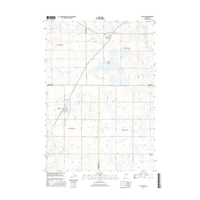
 2010 Ruthton2010 Print · USGSCovers Florence, including Ruthton, Lyon County, and other nearby areas
 - 2013 Map of Ruthton, 2013 Print
 2013 Ruthton2013 Print · USGSCovers Florence, including Ruthton, Lyon County, and other nearby areas
 - 2016 Map of Ruthton, 2016 Print
 2016 Ruthton2016 Print · USGSCovers Florence, including Ruthton, Lyon County, and other nearby areas
 - 2019 Map of Ruthton, 2019 Print
 2019 Ruthton2019 Print · USGSCovers Florence, including Ruthton, Lyon County, and other nearby areas
 - 2022 Map of Ruthton, 2022 Print
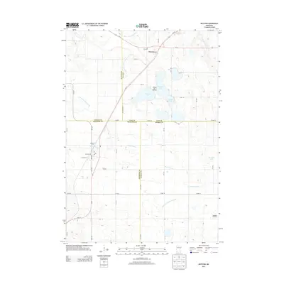
 2022 Ruthton2022 Print · USGSThe upland prairie of southwestern Minnesota meets a complex network of glacial lakes and drainage ditches in the early twenty-first century. Genealogists and local researchers can trace the roads and landmarks of Ruthton and Florence, locating family sites at Opdal Cem or Peace Cem.
End of results
Showing maps 1-9 of 9
Top cities near Florence
- Marshall historical maps
- Tyler historical maps
- Lake Benton historical maps
- Balaton historical maps
- Ivanhoe historical maps
- Lynd historical maps
See more
Frequently asked questions
- What are the different types of historical maps available for Florence?
- What is the oldest map of Florence?
- Where can I purchase historical maps of Florence for my home or office?
- Where can I download high-res historical maps of Florence?
- Are there historical topographic maps available for Florence?
- Is there historical aerial imagery available for Florence?
- Where are historical maps of Florence sourced from?