2000s (21st Century) Maps of Oslo, Minnesota
Explore 10 historic maps of Oslo from the 2000s (21st Century). These maps offer a rare glimpse into what life looked like during the 2000s — showing old roads, neighborhoods, homes, and landmarks that have changed or disappeared over time.
Whether you're researching your family's past, planning a metal detecting trip, or studying how Oslo's landscape evolved across the 2000s, these high-resolution maps are a powerful tool for exploring the history of this region.
- Focus on a specific era: All maps on this page are from the 2000s, giving you a focused view of this time period.
- See what’s changed: Compare century-old streets, trails, and buildings to today's modern landscape using overlays and satellite layers.
- Research with precision: Use these maps for genealogy, historical research, land use analysis, or educational projects.
- View, download, or print: Maps are fully viewable online in high resolution, and can be downloaded or printed for your own records.
Start exploring Oslo's history through authentic maps from the 2000s. This is your window into the past.
Oslo, MN maps
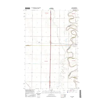
(10)- 2011 Map of Oslo NE, 2011 Print
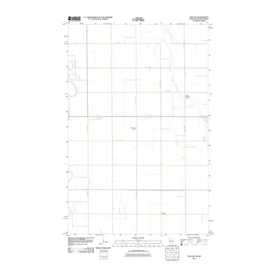 2011 Oslo NE2011 Print · USGSCovers Oslo, including Alvarado, Grand Forks County, and other nearby areas
 - 2011 Map of Oslo, 2011 Print
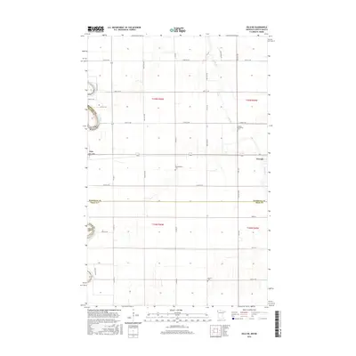
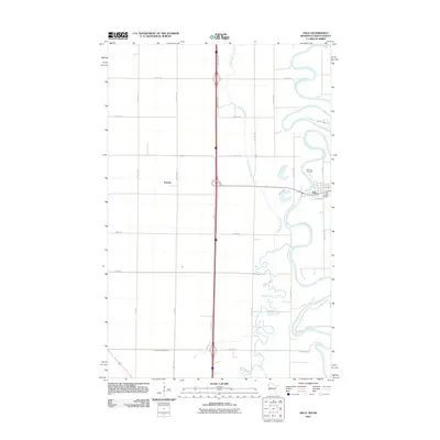 2011 Oslo2011 Print · USGSCovers Oslo, including Poland, Grand Forks County, and other nearby areas
 - 2013 Map of Oslo, 2013 Print
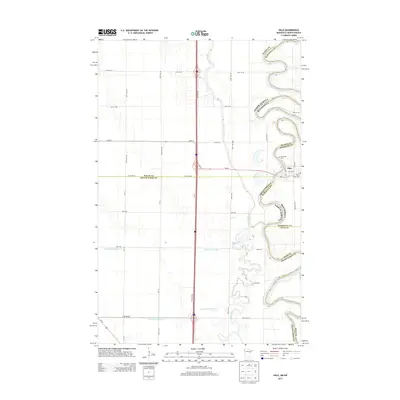 2013 Oslo2013 Print · USGSCovers Oslo, including Poland, Grand Forks County, and other nearby areas
 - 2013 Map of Oslo NE, 2013 Print
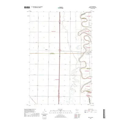
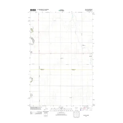 2013 Oslo NE2013 Print · USGSCovers Oslo, including Alvarado, Grand Forks County, and other nearby areas
 - 2016 Map of Oslo NE, 2016 Print
 2016 Oslo NE2016 Print · USGSCovers Oslo, including Alvarado, Grand Forks County, and other nearby areas
 - 2016 Map of Oslo, 2016 Print
 2016 Oslo2016 Print · USGSCovers Oslo, including Poland, Grand Forks County, and other nearby areas
 - 2019 Map of Oslo, 2019 Print
 2019 Oslo2019 Print · USGSCovers Oslo, including Poland, Grand Forks County, and other nearby areas
 - 2019 Map of Oslo NE, 2019 Print
 2019 Oslo NE2019 Print · USGSCovers Oslo, including Alvarado, Grand Forks County, and other nearby areas
 - 2022 Map of Oslo, 2022 Print
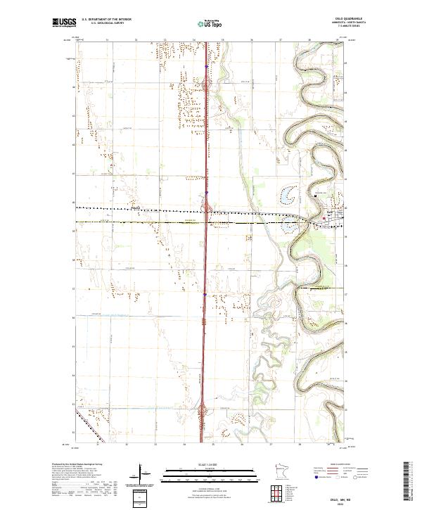 2022 Oslo2022 Print · USGSThe Red River Valley's agricultural heartland is documented here in the early twenty-first century, showing the borderlands of Minnesota and North Dakota. Researchers can trace the layout of Oslo, find family plots at Riverside Cem, or locate the quiet hamlet of Poland.
 - 2022 Map of Oslo NE, 2022 Print
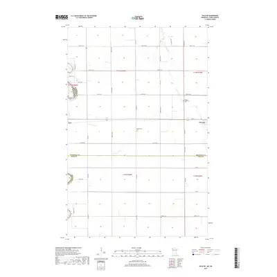
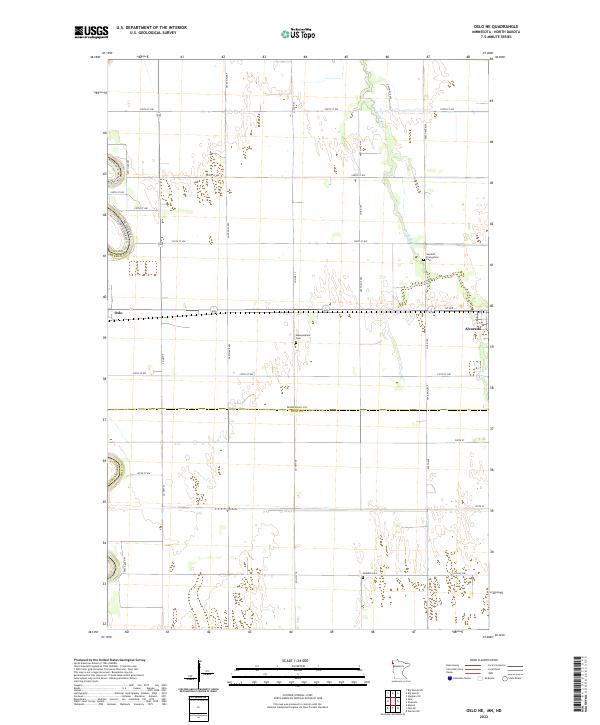 2022 Oslo NE2022 Print · USGSMarshall County's fertile Red River Valley is captured here in the early twenty-first century, showing the rural landscape between the Red and Snake Rivers. Researchers can trace family history at the Swedish Evangelical Cem or locate early town layouts in Oslo and Alvarado.
End of results
Showing maps 1-10 of 10
Top cities near Oslo
Frequently asked questions
- What are the different types of historical maps available for Oslo?
- What is the oldest map of Oslo?
- Where can I purchase historical maps of Oslo for my home or office?
- Where can I download high-res historical maps of Oslo?
- Are there historical topographic maps available for Oslo?
- Is there historical aerial imagery available for Oslo?
- Where are historical maps of Oslo sourced from?