2000s (21st Century) Maps of Page Township, Minnesota
Explore 20 historic maps of Page Township from the 2000s (21st Century). These maps offer a rare glimpse into what life looked like during the 2000s — showing old roads, neighborhoods, homes, and landmarks that have changed or disappeared over time.
Whether you're researching your family's past, planning a metal detecting trip, or studying how Page Township's landscape evolved across the 2000s, these high-resolution maps are a powerful tool for exploring the history of this region.
- Focus on a specific era: All maps on this page are from the 2000s, giving you a focused view of this time period.
- See what’s changed: Compare century-old streets, trails, and buildings to today's modern landscape using overlays and satellite layers.
- Research with precision: Use these maps for genealogy, historical research, land use analysis, or educational projects.
- View, download, or print: Maps are fully viewable online in high resolution, and can be downloaded or printed for your own records.
Start exploring Page Township's history through authentic maps from the 2000s. This is your window into the past.
Page Township, MN maps
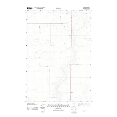
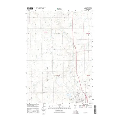
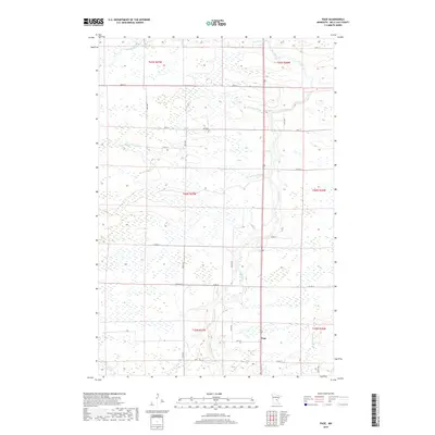
(20)- 2010 Map of Page, 2010 Print
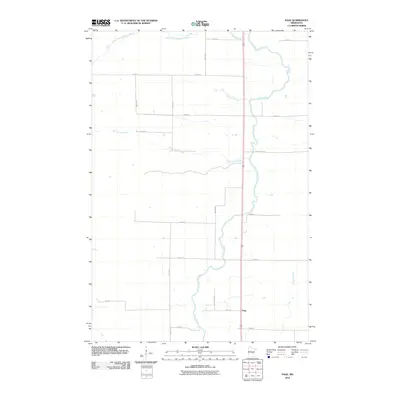 2010 Page2010 Print · USGSCovers Page Township, including Dailey Township, Onamia Township, and other nearby areas
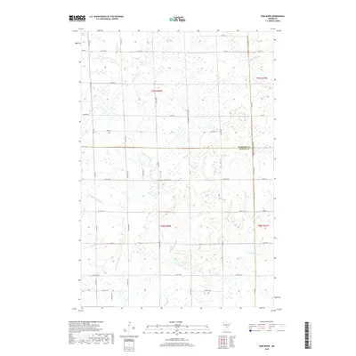
 - 2010 Map of Rum River, 2010 Print
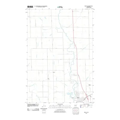
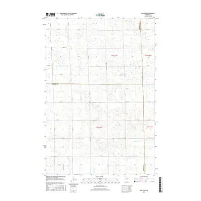
 2010 Rum River2010 Print · USGSCovers Page Township, including Granite Ledge Township, Milaca Township, and other nearby areas
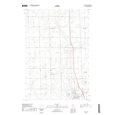
 - 2010 Map of Milaca, 2010 Print
 2010 Milaca2010 Print · USGSCovers Page Township, including Milaca, Hayland Township, and other nearby areas
 - 2010 Map of Ramey NE, 2010 Print
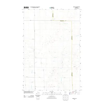
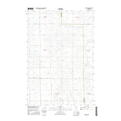
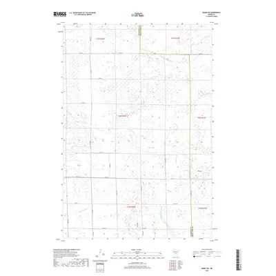
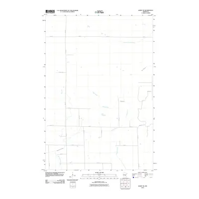 2010 Ramey NE2010 Print · USGSCovers Page Township, including Dailey Township, Bradbury Township, and other nearby areas
 - 2013 Map of Page, 2013 Print
 2013 Page2013 Print · USGSCovers Page Township, including Dailey Township, Onamia Township, and other nearby areas
 - 2013 Map of Milaca, 2013 Print
 2013 Milaca2013 Print · USGSCovers Page Township, including Milaca, Hayland Township, and other nearby areas
 - 2013 Map of Ramey NE, 2013 Print
 2013 Ramey NE2013 Print · USGSCovers Page Township, including Dailey Township, Bradbury Township, and other nearby areas
 - 2013 Map of Rum River, 2013 Print
 2013 Rum River2013 Print · USGSCovers Page Township, including Granite Ledge Township, Milaca Township, and other nearby areas
 - 2016 Map of Milaca, 2016 Print
 2016 Milaca2016 Print · USGSCovers Page Township, including Milaca, Hayland Township, and other nearby areas
 - 2016 Map of Page, 2016 Print
 2016 Page2016 Print · USGSCovers Page Township, including Dailey Township, Onamia Township, and other nearby areas
 - 2016 Map of Rum River, 2016 Print
 2016 Rum River2016 Print · USGSCovers Page Township, including Granite Ledge Township, Milaca Township, and other nearby areas
 - 2016 Map of Ramey NE, 2016 Print
 2016 Ramey NE2016 Print · USGSCovers Page Township, including Dailey Township, Bradbury Township, and other nearby areas
 - 2019 Map of Page, 2019 Print
 2019 Page2019 Print · USGSCovers Page Township, including Dailey Township, Onamia Township, and other nearby areas
 - 2019 Map of Ramey NE, 2019 Print
 2019 Ramey NE2019 Print · USGSCovers Page Township, including Dailey Township, Bradbury Township, and other nearby areas
 - 2019 Map of Rum River, 2019 Print
 2019 Rum River2019 Print · USGSCovers Page Township, including Granite Ledge Township, Milaca Township, and other nearby areas
 - 2019 Map of Milaca, 2019 Print
 2019 Milaca2019 Print · USGSCovers Page Township, including Milaca, Hayland Township, and other nearby areas
 - 2022 Map of Rum River, 2022 Print
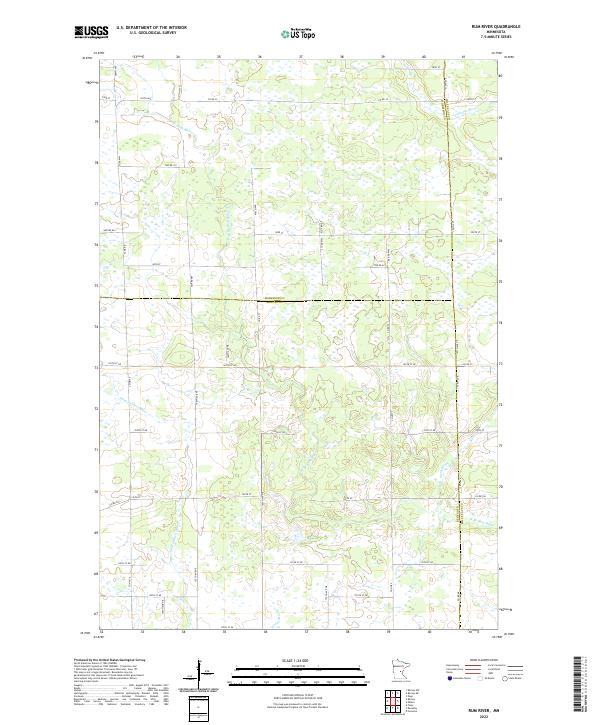 2022 Rum River2022 Print · USGSBenton and Morrison counties are documented here in the early twenty-first century, showing a landscape defined by water and wetlands. Researchers can trace the winding paths of the W Br Rum River and Saint Francis River alongside rural routes like Nature Rd.
 - 2022 Map of Page, 2022 Print
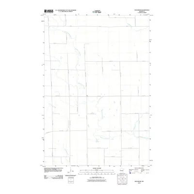
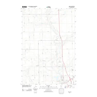
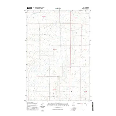
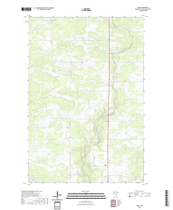 2022 Page2022 Print · USGSMille Lacs County in the early 2020s remains a landscape defined by its wetlands and the winding course of the Rum River. Genealogists and local historians can trace the rural network around Page and the banks of Robinson Brook or Burnt Lane Brook.
 - 2022 Map of Milaca, 2022 Print
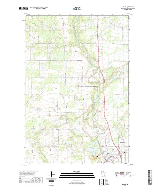 2022 Milaca2022 Print · USGSMilaca and the winding Rum River valley are captured in this modern survey of central Minnesota. Genealogists and local researchers can locate burials at Forest Hill Cem or Chase Brook Cem and trace the paths of Tibbetts Brook and Whitney Brook through the landscape.
 - 2022 Map of Ramey NE, 2022 Print
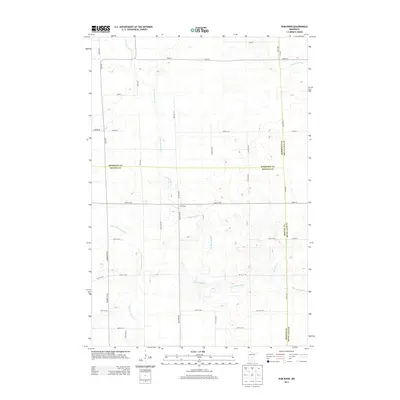
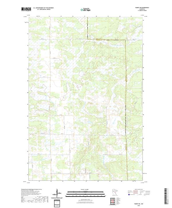 2022 Ramey NE2022 Print · USGSMorrison and Mille Lacs counties are shown here in the early twenty-first century, revealing a landscape dominated by complex wetland systems. Researchers can trace the drainage of Tibbetts Brook, the W Br Rum River, and S Fork Bradbury Brook across a rural grid of roads like Sage Rd.
End of results
Showing maps 1-20 of 20
Top cities near Page Township
- Milaca historical maps
- Onamia historical maps
- Foreston historical maps
- Pease historical maps
- Bock historical maps
- Ronneby historical maps
See more
Top neighborhoods of Page Township
Frequently asked questions
- What are the different types of historical maps available for Page Township?
- What is the oldest map of Page Township?
- Where can I purchase historical maps of Page Township for my home or office?
- Where can I download high-res historical maps of Page Township?
- Are there historical topographic maps available for Page Township?
- Is there historical aerial imagery available for Page Township?
- Where are historical maps of Page Township sourced from?