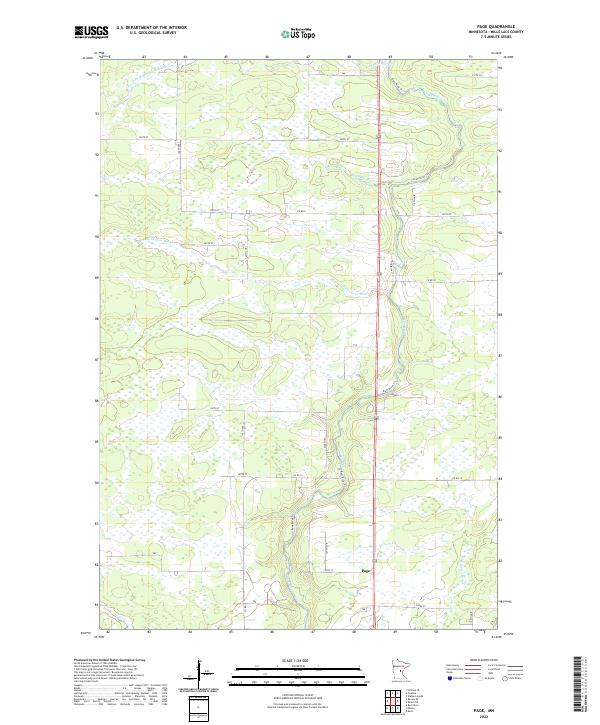
2022 Map of Page
USGS Topo · Published 2022About this map
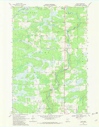
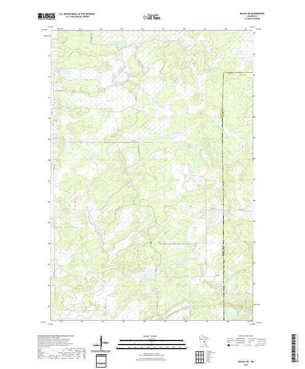
Page serves as a small focal point in this Mille Lacs County landscape, which is defined by an intricate network of waterways and wetlands. The central drainage feature is the Rum River, accompanied by its associated Rum River Trl, which meanders through the eastern half of the township blocks. This area is heavily influenced by the presence of numerous tributaries, including Bradbury Brook, the S Fork Bradbury Brook, Robinson Brook, and Burnt Lane Brook. The survey reveals a grid of rural roads such as Marsh Rd and Co Rd 8 that navigate between extensive marshy areas and low-lying terrain. To the southeast, the headwaters of Whitney Brook emerge, highlighting the significant role of surface water in shaping the local geography and settlement patterns of this central Minnesota region.
Find a feature on this map
32 named features on this map. Tap any name to fly to it.
Don’t see what you’re looking for? This feature index may not catch every label — zoom into the map to look around manually.
Map Details
Editions of this 2022 Page Map
This is the sole edition of this map. No revisions or reprints were ever made.
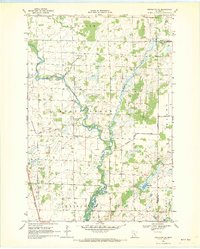
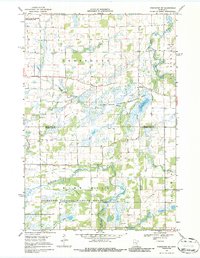
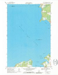
Historical Maps of Page Township Through Time
16 maps found
1968 Isle SW
Mille Lacs County, MN
1968 Milaca NE
Mille Lacs County, MN
1968 Onamia NW
Mille Lacs County, MN
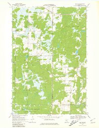
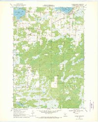
1968 Page
Mille Lacs County, MN
1968 Princeton NE
Mille Lacs County, MN
1968 Princeton SW
Mille Lacs County, MN
1968 Wahkon North
Mille Lacs County, MN
1968 Wahkon South
Mille Lacs County, MN

2022 Isle SW
Mille Lacs County, MN
2022 Milaca NE
Mille Lacs County, MN
2022 Onamia NW
Mille Lacs County, MN
2022 Page
Mille Lacs County, MN
2022 Princeton NE
Mille Lacs County, MN
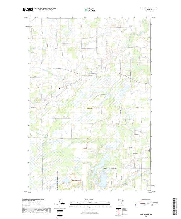
2022 Princeton SW
Mille Lacs County, MN
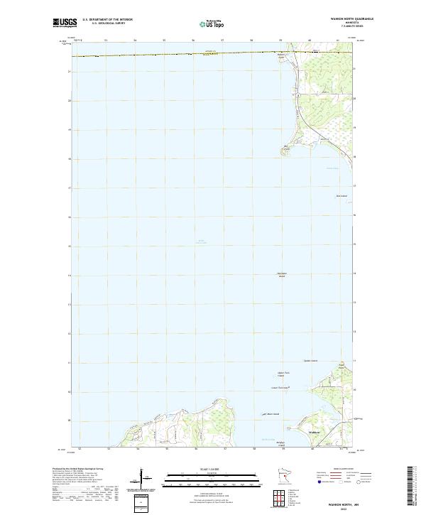
2022 Wahkon North
Mille Lacs County, MN
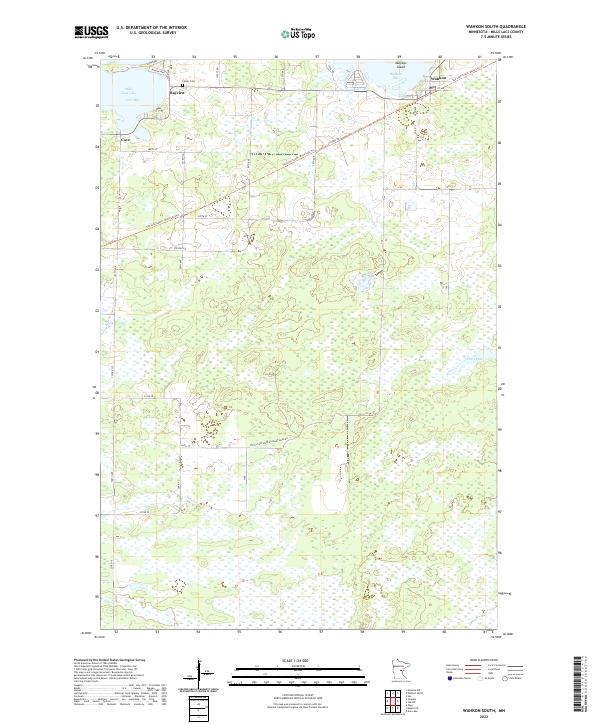
2022 Wahkon South
Mille Lacs County, MN