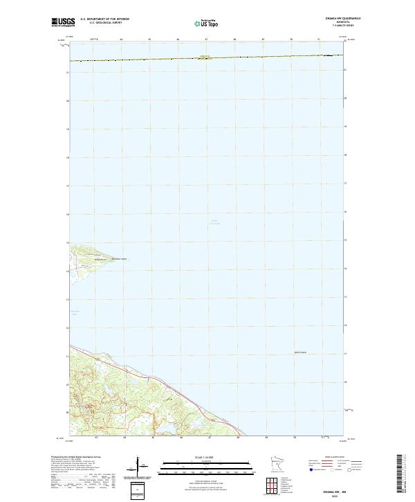
2022 Map of Onamia NW
USGS Topo · Published 2022About this map
Mille Lacs Lake dominates this northern landscape, with its vast surface and intricate shoreline defining the geography of the boundary between Aitkin and Mille Lacs counties. Along the southwestern shore, residential and access routes like Nay Ah Shing Dr and Migizi Rd concentrate around Indian Point and Vineland Bay, suggesting a layout driven by lakeside proximity and recreational use. The terrain transitions from the open water of the big lake to smaller, sheltered features such as Tamarac Lake and the rocky outcrops of Spirit Island and Rainbow Island. Roads like Kathio State Park Rd and Co Rd 35 provide the primary infrastructure through the wooded areas surrounding the southern lakefront.
Find a feature on this map
15 named features on this map. Tap any name to fly to it.
Don’t see what you’re looking for? This feature index may not catch every label — zoom into the map to look around manually.
Map Details
Editions of this 2022 Onamia NW Map
This is the sole edition of this map. No revisions or reprints were ever made.
Other maps of this area

1912 · Deerwood
USGS Topo · 1:62,500

1914 · Deerwood
USGS Topo · 1:62,500

1916 · Wealthwood
USGS Topo · 1:62,500

1953 · Duluth
USGS Topo · 1:250,000

1958 · Duluth
USGS Topo · 1:250,000

1968 · Onamia NW
USGS Topo · 1:24,000

1968 · Onamia
USGS Topo · 1:24,000

1968 · Wahkon North
USGS Topo · 1:24,000
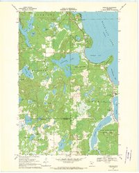
1968 · Vineland
USGS Topo · 1:24,000
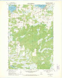
1968 · Wahkon South
USGS Topo · 1:24,000