2000s (21st Century) Maps of Minneiska, Minnesota
Explore 10 historic maps of Minneiska from the 2000s (21st Century). These maps offer a rare glimpse into what life looked like during the 2000s — showing old roads, neighborhoods, homes, and landmarks that have changed or disappeared over time.
Whether you're researching your family's past, planning a metal detecting trip, or studying how Minneiska's landscape evolved across the 2000s, these high-resolution maps are a powerful tool for exploring the history of this region.
- Focus on a specific era: All maps on this page are from the 2000s, giving you a focused view of this time period.
- See what’s changed: Compare century-old streets, trails, and buildings to today's modern landscape using overlays and satellite layers.
- Research with precision: Use these maps for genealogy, historical research, land use analysis, or educational projects.
- View, download, or print: Maps are fully viewable online in high resolution, and can be downloaded or printed for your own records.
Start exploring Minneiska's history through authentic maps from the 2000s. This is your window into the past.
Minneiska, MN maps
(10)- 2011 Map of Weaver, 2011 Print
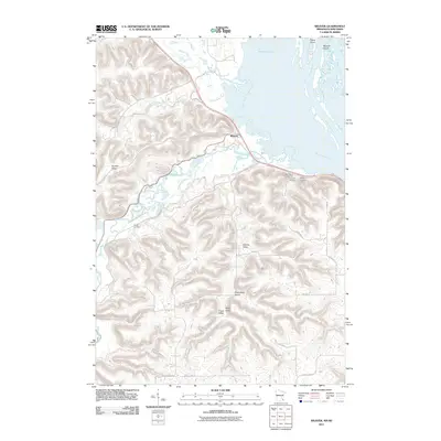 2011 Weaver2011 Print · USGSCovers Minneiska, including Buffalo City, Milton, and other nearby areas
 - 2011 Map of Cochrane, 2011 Print
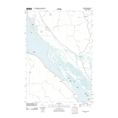 2011 Cochrane2011 Print · USGSCovers Minneiska, including Buffalo City, Waumandee, and other nearby areas
 - 2013 Map of Cochrane, 2013 Print
 2013 Cochrane2013 Print · USGSCovers Minneiska, including Buffalo City, Waumandee, and other nearby areas
 - 2013 Map of Weaver, 2013 Print
 2013 Weaver2013 Print · USGSCovers Minneiska, including Buffalo City, Milton, and other nearby areas
 - 2015 Map of Cochrane, 2015 Print
 2015 Cochrane2015 Print · USGSCovers Minneiska, including Buffalo City, Waumandee, and other nearby areas
 - 2016 Map of Weaver, 2016 Print
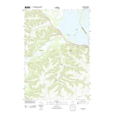
 2016 Weaver2016 Print · USGSCovers Minneiska, including Buffalo City, Milton, and other nearby areas
 - 2018 Map of Cochrane, 2018 Print
 2018 Cochrane2018 Print · USGSCovers Minneiska, including Buffalo City, Waumandee, and other nearby areas
 - 2019 Map of Weaver, 2019 Print
 2019 Weaver2019 Print · USGSCovers Minneiska, including Buffalo City, Milton, and other nearby areas
 - 2022 Map of Cochrane, 2022 Print
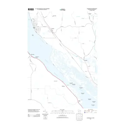
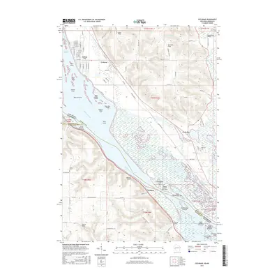
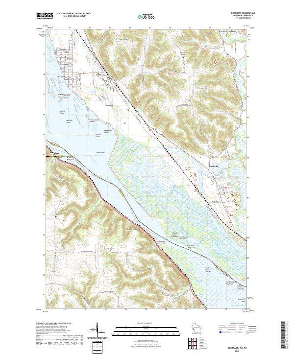 2022 Cochrane2022 Print · USGSThe upper Mississippi River valley comes into focus in this recent survey of the Wisconsin-Minnesota border. Researchers can trace the riverfront rail network through Cochrane and Buffalo City or locate landmarks like Chimney Rock and Mount Vernon Cem.
 - 2022 Map of Weaver, 2022 Print
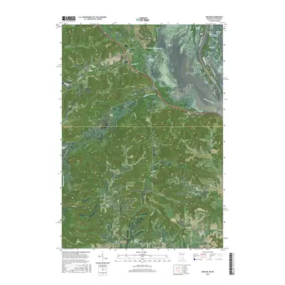
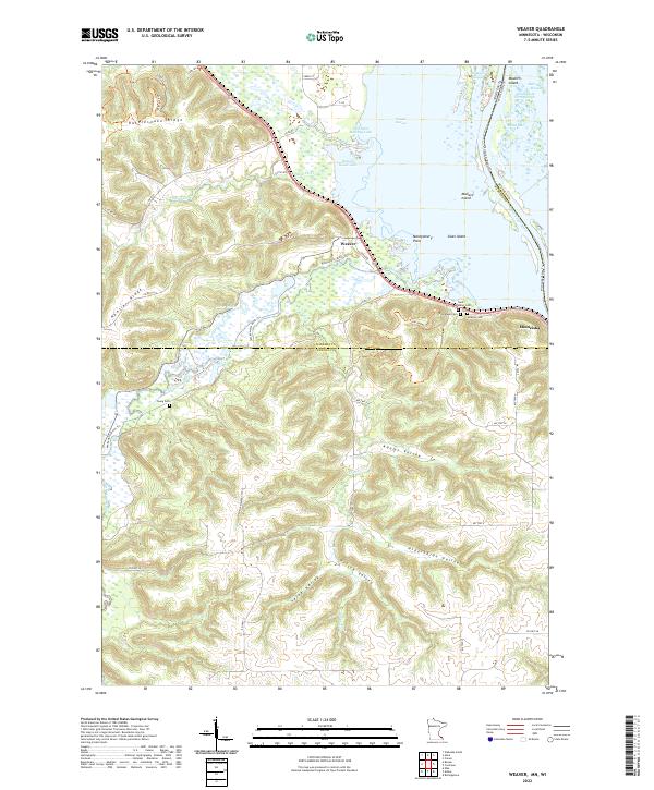 2022 Weaver2022 Print · USGSThe Mississippi River backwaters meet the steep bluffs of Winona County in the early 2020s. Genealogists and local historians can trace family plots at Young Cem and Evergreen Cem or explore the rugged coulees of Selke Valley.
End of results
Showing maps 1-10 of 10
Top cities near Minneiska
- Winona historical maps
- Goodview historical maps
- Wabasha historical maps
- Lewiston historical maps
- Buffalo City historical maps
- Stockton historical maps
See more
Frequently asked questions
- What are the different types of historical maps available for Minneiska?
- What is the oldest map of Minneiska?
- Where can I purchase historical maps of Minneiska for my home or office?
- Where can I download high-res historical maps of Minneiska?
- Are there historical topographic maps available for Minneiska?
- Is there historical aerial imagery available for Minneiska?
- Where are historical maps of Minneiska sourced from?