Loading...
Loading map...2022 Map of Cochrane
USGS Topo · Published 2022About this map
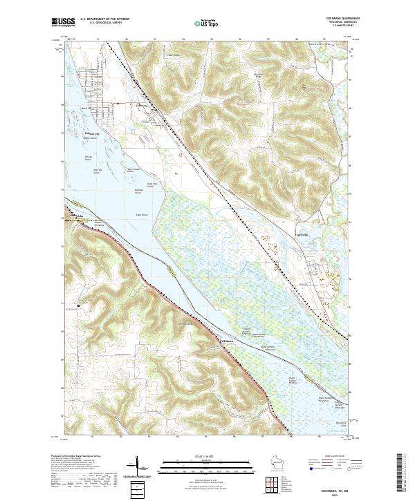
Cochrane and Buffalo City sit along the eastern banks of the Mississippi River, where the landscape is defined by an intricate network of secondary channels and named islands. The Burlington rail line runs parallel to the river, serving the riverside settlements of Whitman and Czechville. The terrain rises sharply away from the water into a series of dramatic bluffs and valleys, including Huber Ridge and Belvidere Ridge, which overlook the expansive Belvidere Slough.
Find a feature on this map
80 named features on this map. Tap any name to fly to it.
Don’t see what you’re looking for? This feature index may not catch every label — zoom into the map to look around manually.
Map Details
Date Portrayed2022
Date Published2022
PublisherU.S. Geological Survey
Map TypeTopographic
Scale1:24000
Physical Dimensions24 x 29 inches
Editions of this 2022 Cochrane Map
This is the sole edition of this map. No revisions or reprints were ever made.
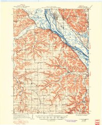
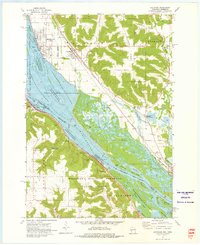
Historical Maps of Minneiska Through Time
5 maps found


Featured Locations
Source Details
SourceU.S. Geological Survey
CopyrightPublic Domain