Old Maps of Randall, Minnesota for Metal Detecting
Plan your next treasure hunt with 21 historic maps of Randall. Find old homesites, ghost towns, trails, and gathering spots that may be lost to time — perfect for identifying promising metal detecting locations.
- Locate forgotten sites: Uncover places like long-lost settlements, abandoned rail lines, or gathering spots.
- Plan better hunts: Use map overlays combined with LiDAR or satellite views to narrow in on historically rich areas.
- Made for detectorists: Thousands of hobbyists use these maps to discover relics, coins, and hidden history.
Use these historic maps to boost your research and find new opportunities beneath the surface of Randall.
Randall, MN maps
(21)- 1948 Map of Belle Prairie, 1961 Print
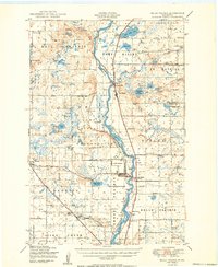
 1948 Belle Prairie1961 Print · USGSMorrison and Crow Wing counties are captured here in the late 1940s, a landscape defined by military grounds and a dense network of country schools. Researchers can trace the legacy of early settlements through Old Darling Mission Cemetery, the Northern Pacific line at Darling Switch, and St Mathias Church.
 - 1948 Map of Cushing, 1972 Print
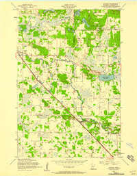
 1948 Cushing1972 Print · USGSThe post-war lake country of Morrison and Todd counties comes to life in this mid-century survey, revealing a landscape of small lakeside settlements and one-room schoolhouses. Researchers can trace the roots of rural communities through dozens of local landmarks like Cushing, Betesta Church, and Willis School.2 unique versions available
 - 1950 Map of Belle Prairie
 1950 Belle Prairie1950 Print · USGSMorrison and Crow Wing counties are captured here in the late 1940s, showing a landscape defined by the winding Mississippi and sprawling military grounds. Researchers can trace rural lineages through local landmarks like St Mathias Church, Darling Switch, and Rail Prairie Town Hall.2 unique versions available
 - 1950 Map of Cushing
 1950 Cushing1950 Print · USGSMorrison and Todd counties come alive in the postwar years, showing a landscape of small farming communities and a vast network of glacial lakes. Genealogists can trace family roots through numerous rural landmarks like Randall Cemetery, Zion Church, and over twenty numbered country schools.
 - 1953 Map of Brainerd, 1966 Print
 1953 Brainerd1966 Print · USGSCentral Minnesota's lake country and iron ranges are detailed in the mid-fifties, showing the intersection of industry and wilderness. Researchers can locate specific local landmarks like the Crow Wing County Courthouse or trace the early paths of the Soo Line Railroad and the Cuyuna Range Iron Mines.3 unique versions available
 - 1956 Map of Randall, 1958 Print
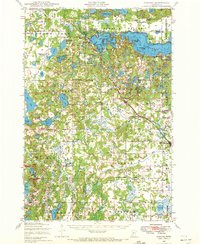
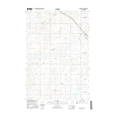
 1956 Randall1958 Print · USGSSettled along the Northern Pacific rail line during the mid-1950s, this area of Morrison County reflects a classic rural Minnesota layout. Researchers can trace the heritage of local school districts and parishes at St James Cemetery, School No 35, and the Old Darling Mission Cemetery.4 unique versions available
 - 1957 Map of Brainerd
 1957 Brainerd1957 Print · USGSNorth-central Minnesota's lake-rich landscape is captured in the mid-1950s as a crossroads of rail, river, and forest. Genealogists and historians can trace the paths of the Great Northern and Soo Line railroads through hubs like Brainerd, Wadena, and Detroit Lakes.
 - 1958 Map of Brainerd
 1958 Brainerd1958 Print · USGSCentral Minnesota in the late fifties is a landscape of dense lake chains, rail hubs, and sprawling state forests. Genealogists and local historians can trace old property alignments near the Mississippi River or locate family sites in Brainerd, Little Falls, and Detroit Lakes.
 - 1965 Map of Brainerd
 1965 Brainerd1965 Print · USGSNorth-central Minnesota in the mid-fifties presents a complex landscape of sprawling lake systems and established rail corridors. Genealogists and historians can trace the growth of timber towns along the Northern Pacific RR and explore early borders of the White Earth Indian Reservation or Tamarac National Wildlife Refuge.
 - 1981 Map of Randall West, 1982 Print
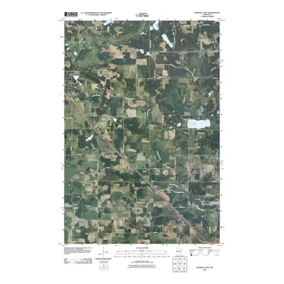
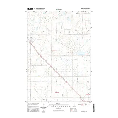
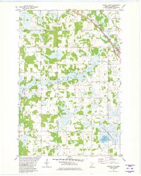 1981 Randall West1982 Print · USGSMorrison County's rural landscape is captured here in the early eighties as the railroad still active through Randall shaped local commerce. Researchers can trace family history through several burial sites like Parker-Bethany Cem or locate the local Townhall.
 - 1986 Map of Brainerd
 1986 Brainerd1986 Print · USGSCentral Minnesota's lake country and river junctions are captured here in the mid-1980s. Genealogists and historians can trace the Burlington Northern line through Staples or locate family sites near Brainerd State Hospital and Gull Lake.2 unique versions available
 - 2010 Map of Randall East, 2010 Print
 2010 Randall East2010 Print · USGSCovers Randall, including Morrison County, United States, and other nearby areas
 - 2010 Map of Randall West, 2010 Print
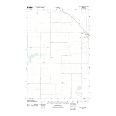 2010 Randall West2010 Print · USGSCovers Randall, including Morrison County, United States, and other nearby areas
 - 2013 Map of Randall West, 2013 Print
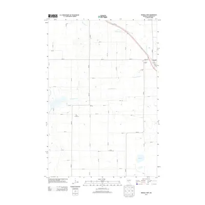 2013 Randall West2013 Print · USGSCovers Randall, including Morrison County, United States, and other nearby areas
 - 2013 Map of Randall East, 2013 Print
 2013 Randall East2013 Print · USGSCovers Randall, including Morrison County, United States, and other nearby areas
 - 2016 Map of Randall West, 2016 Print
 2016 Randall West2016 Print · USGSCovers Randall, including Morrison County, United States, and other nearby areas
 - 2016 Map of Randall East, 2016 Print
 2016 Randall East2016 Print · USGSCovers Randall, including Morrison County, United States, and other nearby areas
 - 2019 Map of Randall East, 2019 Print
 2019 Randall East2019 Print · USGSCovers Randall, including Morrison County, United States, and other nearby areas
 - 2019 Map of Randall West, 2019 Print
 2019 Randall West2019 Print · USGSCovers Randall, including Morrison County, United States, and other nearby areas
 - 2022 Map of Randall East, 2022 Print
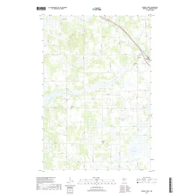
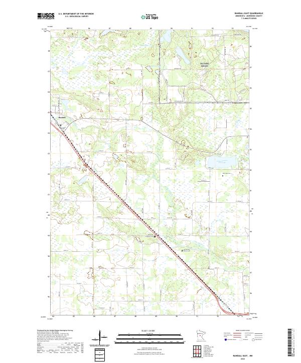 2022 Randall East2022 Print · USGSThis Morrison County landscape outside the village of Randall shows a rural Minnesota network of family-farm roads and glacial lakes. Genealogists and local historians can locate several historic burial sites, including Fish Lake Cem, Immanuel Lutheran Cem, and the Old Darling Mission Cem.
 - 2022 Map of Randall West, 2022 Print
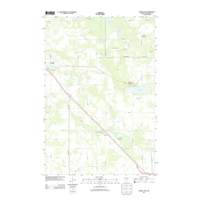
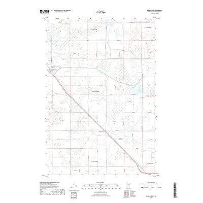
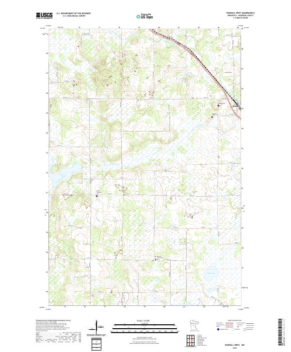 2022 Randall West2022 Print · USGSMorrison County's rural landscape is captured here in the early twenty-first century, showing the established river-and-road network west of the Mississippi. Genealogists can locate several local burial sites including Randall Cem and Bethany Parkertown Cem near the Little Elk River.
End of results
Showing maps 1-21 of 21
Top cities near Randall
- Little Falls historical maps
- Baxter historical maps
- Crow Wing historical maps
- Belle Prairie historical maps
- Cushing historical maps
- Swanville historical maps
See more
Frequently asked questions
- What are the different types of historical maps available for Randall?
- What is the oldest map of Randall?
- Where can I purchase historical maps of Randall for my home or office?
- Where can I download high-res historical maps of Randall?
- Are there historical topographic maps available for Randall?
- Is there historical aerial imagery available for Randall?
- Where are historical maps of Randall sourced from?