Old Maps of Sobieski, Minnesota for Academic Research
Study the evolution of Sobieski with 21 high-resolution historic maps. Whether you're teaching, researching, or modeling changes in land use, these maps provide essential visual documentation of urban, environmental, and geographic change.
- Analyze long-term change: Track patterns in development, transportation, and natural features.
- Ideal for environmental or urban studies: Support academic projects with primary historical map data.
- Use in the classroom or lab: Educators and researchers rely on these maps to bring historical context to life.
These maps are a powerful tool for teaching, research, and visualizing how Sobieski has changed over the decades.
Sobieski, MN maps
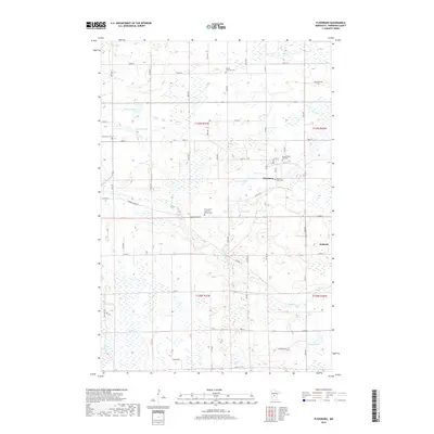
(21)- 1947 Map of Flensburg, 1951 Print
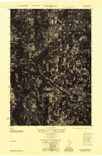 1947 Flensburg1951 Print · USGSMorrison County farming and timber lands are captured here in the late 1940s as rural life centered on local townships. Trace family roots at Mission Covenant Church and Cemetery, Culdrum Town Hall, or Flensburg.
 - 1948 Map of Little Falls, 1973 Print
 1948 Little Falls1973 Print · USGSMid-century Central Minnesota comes alive in this survey of the river valleys and rail towns north of St. Cloud. Genealogists can locate family landmarks like St Mary Church, Pike Creek Town Hall, and numerous rural schools from Bowlus to Royalton.
 - 1950 Map of Swanville
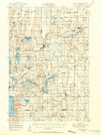 1950 Swanville1950 Print · USGSCentral Minnesota at mid-century reveals a landscape of lakeside settlements and rural school districts across the Todd and Morrison county borders. Genealogists and historians can trace family roots through sites like Spring Brook Cemetery, the Bruce Town Hall, and Lake Beauty School.2 unique versions available
 - 1950 Map of Little Falls
 1950 Little Falls1950 Print · USGSMid-century Morrison County reveals a landscape of river-driven industry and rural township life along the Mississippi River. Genealogists can trace family roots through numerous sites like St Stan Kostka Cemetery, School No 54, and Pike Creek Town Hall.2 unique versions available
 - 1951 Map of Flensburg
 1951 Flensburg1951 Print · USGSMorrison County settlement in the post-war years centered on the village of Flensburg and its connection to the Northern Pacific railroad. Genealogists can trace family roots through several country schools and local landmarks like Immanuel Church and the Sacred Heart Cemetery.
 - 1953 Map of Saint Cloud, 1968 Print
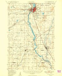
 1953 Saint Cloud1968 Print · USGSCentral Minnesota's lake country and the Mississippi River valley are caught in a period of steady mid-century growth. Researchers can trace historic rail lines, old granite works, and local landmarks like St. Johns University, Camp Ripley, and the shores of Lake Minnewaska.3 unique versions available
 - 1957 Map of Saint Cloud
 1957 Saint Cloud1957 Print · USGSCentral Minnesota's lake country and rail corridors are meticulously detailed in the mid-1950s. Genealogists and researchers can trace the growth of towns like Alexandria, Willmar, and Saint Cloud along the Great Northern railroad line.
 - 1958 Map of Saint Cloud
 1958 Saint Cloud1958 Print · USGSCentral Minnesota in the mid-1950s shows a landscape of growing regional hubs and hundreds of glacial lakes connected by an extensive rail network. Genealogists and historians can trace the early footprints of Saint Cloud, Alexandria, and Willmar along the Great Northern Railway.
 - 1978 Map of Little Falls West
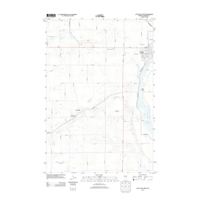
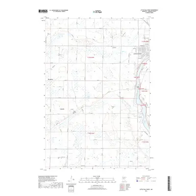
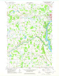 1978 Little Falls West1978 Print · USGSThe western reaches of Little Falls and the surrounding Morrison County countryside are captured here in the late seventies. Genealogists and local historians can locate Our Lady of Lourdes Cem, the village of Sobieski, and the riverfront at Charles A Lindbergh State Park.2 unique versions available
 - 1978 Map of Flensburg
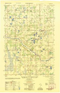
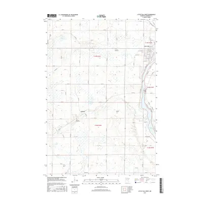
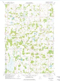 1978 Flensburg1978 Print · USGSIn the late seventies, this part of Morrison County was defined by its small prairie townships and the winding Swan River. Genealogists and local historians can trace the foundations of Flensburg and Sobieski or find family plots at Sacred Heart Cem.
 - 1986 Map of St. Cloud
 1986 St. Cloud1986 Print · USGSCentral Minnesota in the mid-1980s reveals a landscape where river industry and growing highway corridors meet traditional farming communities. Researchers can trace the layout of small-town landmarks like St Wendel Ch and St Anna Cem or follow the path of the Sauk River as it winds toward the Mississippi.2 unique versions available
 - 2010 Map of Flensburg, 2010 Print
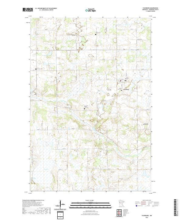
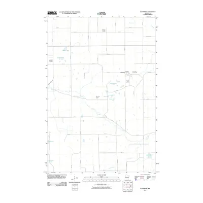 2010 Flensburg2010 Print · USGSCovers Sobieski, including Flensburg, Morrison County, and other nearby areas
 - 2010 Map of Little Falls West, 2010 Print
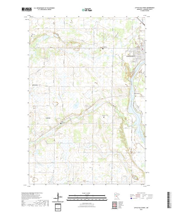
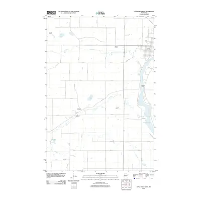 2010 Little Falls West2010 Print · USGSCovers Sobieski, including Little Falls, Flensburg, and other nearby areas
 - 2013 Map of Little Falls West, 2013 Print
 2013 Little Falls West2013 Print · USGSCovers Sobieski, including Little Falls, Flensburg, and other nearby areas
 - 2013 Map of Flensburg, 2013 Print
 2013 Flensburg2013 Print · USGSCovers Sobieski, including Flensburg, Morrison County, and other nearby areas
 - 2016 Map of Little Falls West, 2016 Print
 2016 Little Falls West2016 Print · USGSCovers Sobieski, including Little Falls, Flensburg, and other nearby areas
 - 2016 Map of Flensburg, 2016 Print
 2016 Flensburg2016 Print · USGSCovers Sobieski, including Flensburg, Morrison County, and other nearby areas
 - 2019 Map of Flensburg, 2019 Print
 2019 Flensburg2019 Print · USGSCovers Sobieski, including Flensburg, Morrison County, and other nearby areas
 - 2019 Map of Little Falls West, 2019 Print
 2019 Little Falls West2019 Print · USGSCovers Sobieski, including Little Falls, Flensburg, and other nearby areas
 - 2022 Map of Little Falls West, 2022 Print
 2022 Little Falls West2022 Print · USGSMorrison County west of the river is shown here in the 2020s, where the expansion of Little Falls transitions into the rural prairie. Genealogists can locate family sites near Sobieski, Saint Stanislaus Church Cem, and the Kay Burial Ground.
 - 2022 Map of Flensburg, 2022 Print
 2022 Flensburg2022 Print · USGSThe rural countryside of Morrison County remains centered on the river and its many small lakes in this modern-era study. Genealogists can locate several family and church landmarks including the Mission Covenant Cem, Emmanuel Cem, and the riverfront settlement of Sobieski.
End of results
Showing maps 1-21 of 21
Top cities near Sobieski
- Little Falls historical maps
- Rice historical maps
- Belle Prairie historical maps
- Royalton historical maps
- Holdingford historical maps
- Cushing historical maps
See more
Frequently asked questions
- What are the different types of historical maps available for Sobieski?
- What is the oldest map of Sobieski?
- Where can I purchase historical maps of Sobieski for my home or office?
- Where can I download high-res historical maps of Sobieski?
- Are there historical topographic maps available for Sobieski?
- Is there historical aerial imagery available for Sobieski?
- Where are historical maps of Sobieski sourced from?