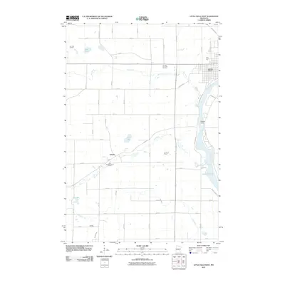
2010 Map of Little Falls West
USGS Topo · Published 2010About this map
The Mississippi River defines the eastern edge of this landscape, its waters widening into Zebulon Pike Lake south of the city. While the western reach of Little Falls occupies the northeast corner, the map primarily details the rural agricultural and religious heritage of Morrison County. The small settlement of Sobieski serves as a local hub, anchored by the Saint Stanislaus Church and its accompanying Saint Stanislaus Church Cemetery.
Find a feature on this map
53 named features on this map. Tap any name to fly to it.
Don’t see what you’re looking for? This feature index may not catch every label — zoom into the map to look around manually.
Map Details
Editions of this 2010 Little Falls West Map
This is the sole edition of this map. No revisions or reprints were ever made.
Other maps of this area

1947 · Flensburg
USGS Topo · 1:25,000

1948 · Belle Prairie
USGS Topo · 1:62,500

1948 · Cushing
USGS Topo · 1:62,500

1948 · Little Falls
USGS Topo · 1:62,500

1950 · Swanville
USGS Topo · 1:62,500

1950 · Belle Prairie
USGS Topo · 1:62,500

1950 · Little Falls
USGS Topo · 1:62,500

1950 · Cushing
USGS Topo · 1:62,500

1951 · Flensburg
USGS Topo · 1:25,000

1953 · Brainerd
USGS Topo · 1:250,000