2020s Maps of Gary, Minnesota
Explore 2 historic maps of Gary from the 2020s. These maps offer a rare glimpse into what life looked like during the 2020s — showing old roads, neighborhoods, homes, and landmarks that have changed or disappeared over time.
Whether you're researching your family's past, planning a metal detecting trip, or studying how Gary's landscape evolved across the 2020s, these high-resolution maps are a powerful tool for exploring the history of this region.
- Focus on a specific era: All maps on this page are from the 2020s, giving you a focused view of this time period.
- See what’s changed: Compare century-old streets, trails, and buildings to today's modern landscape using overlays and satellite layers.
- Research with precision: Use these maps for genealogy, historical research, land use analysis, or educational projects.
- View, download, or print: Maps are fully viewable online in high resolution, and can be downloaded or printed for your own records.
Start exploring Gary's history through authentic maps from the 2020s. This is your window into the past.
Gary, MN maps
(2)- 2022 Map of Flaming, 2022 Print
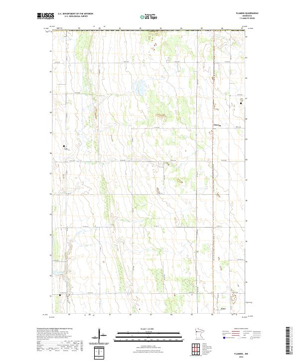 2022 Flaming2022 Print · USGSNorman County in the early 2020s is a landscape of expansive prairie farms and quiet rural crossroads. Genealogists and local researchers can locate family sites at Old Sundal Cem and Spring Creek Cem or trace the route of Spring Creek.
 - 2022 Map of Twin Valley, 2022 Print
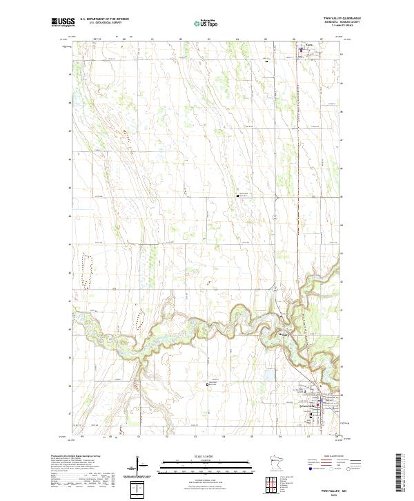 2022 Twin Valley2022 Print · USGSTwin Valley and Gary anchor this Norman County landscape in the early 2020s, where the river valley meets the prairie grid. Genealogists can trace family sites at Zion Memorial Gardens or follow the Wild Rice River to Heiberg.
End of results
Showing maps 1-2 of 2
Top cities near Gary
- Fertile historical maps
- Twin Valley historical maps
- Flom historical maps
- Fossum historical maps
- Waukon historical maps
- Sundal historical maps
Frequently asked questions
- What are the different types of historical maps available for Gary?
- What is the oldest map of Gary?
- Where can I purchase historical maps of Gary for my home or office?
- Where can I download high-res historical maps of Gary?
- Are there historical topographic maps available for Gary?
- Is there historical aerial imagery available for Gary?
- Where are historical maps of Gary sourced from?