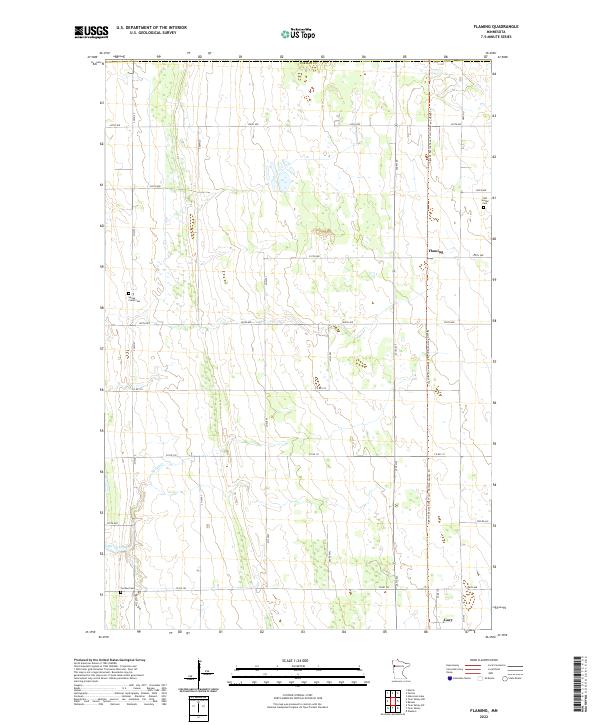
2022 Map of Flaming
USGS Topo · Published 2022About this map
Flaming and the surrounding agricultural lands of Norman County are depicted here during the early 2020s, showing a landscape defined by an orderly grid of township roads and deep-rooted community landmarks. This corner of the Red River Valley remains a place of quiet continuity, where the meandering course of Spring Creek provides a natural break in the geometric section lines. Several cemeteries, including Old Sundal Cem, Spring Creek Cem, and Luchau Cem, anchor the map with sites of genealogical significance, tracing the heritage of the families who settled this fertile prairie. Modern land use is evident in the Agassiz Recreational Trail: Norman County Trl, which repurposes historic corridors for contemporary use, while the small settlement of Gary appears in the southeastern corner, connected by a network of county roads including County Road 143.
Find a feature on this map
33 named features on this map. Tap any name to fly to it.
Don’t see what you’re looking for? This feature index may not catch every label — zoom into the map to look around manually.
Map Details
Editions of this 2022 Flaming Map
This is the sole edition of this map. No revisions or reprints were ever made.
Other maps of this area

1918 · Twin Valley
USGS Topo · 1:62,500

1919 · Valley
USGS Topo · 1:62,500

1952 · Grand Forks
USGS Topo · 1:250,000

1956 · Grand Forks
USGS Topo · 1:250,000

1965 · Fertile
USGS Topo · 1:24,000

1965 · Melvin
USGS Topo · 1:24,000

1965 · Waukon
USGS Topo · 1:24,000

1965 · Twin Valley SW
USGS Topo · 1:24,000

1965 · Twin Valley
USGS Topo · 1:24,000

1965 · Twin Valley NW
USGS Topo · 1:24,000