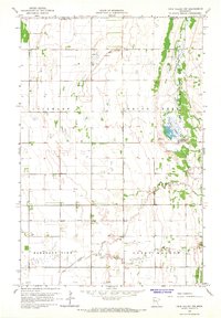
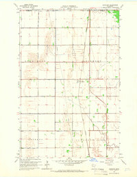
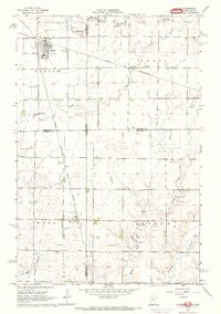
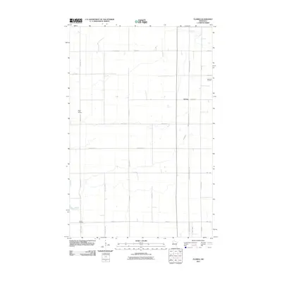
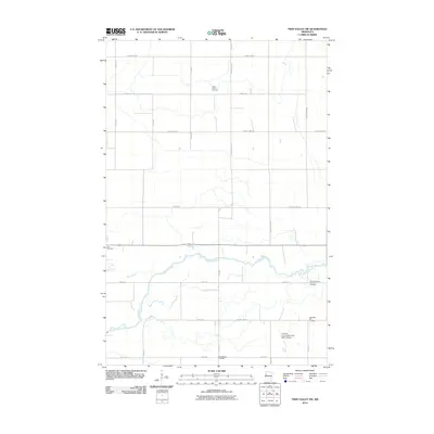
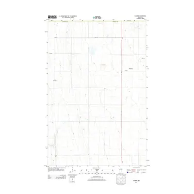
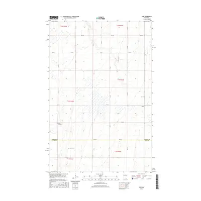
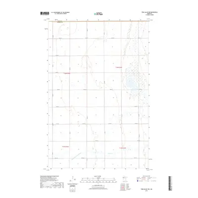
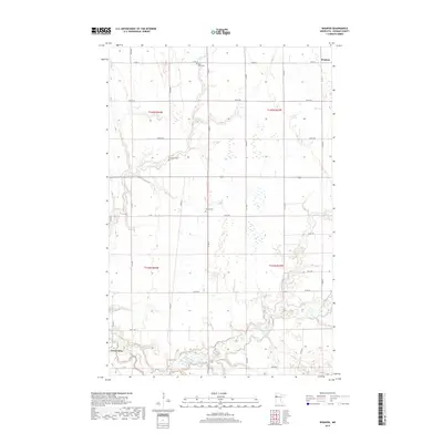
1965 Map of Twin Valley NW
USGS Topo · Published 1967About this map
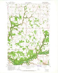
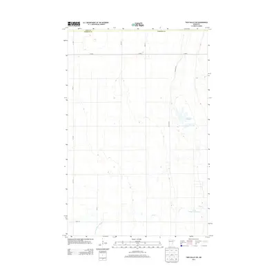
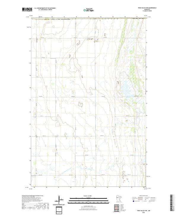
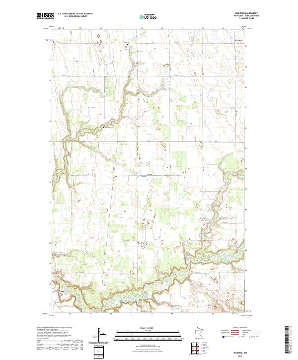
The Agassiz No 2 State Wildlife Management Area anchors the eastern edge of this 1960s landscape, protecting the wetland complex surrounding Lockhart Swamp. This region on the border of Polk Co and Norman Co is defined by an extensive network of drainage infrastructure, including County Ditch No 38, County Ditch No 66, and State Ditch No 68. These engineered waterways reflect the transformation of the Red River Valley for agricultural use, redirecting natural flows like Spring Creek to manage the flat terrain.
Find a feature on this map
11 named features on this map. Tap any name to fly to it.
Don’t see what you’re looking for? This feature index may not catch every label — zoom into the map to look around manually.
Map Details
Editions of this 1965 Twin Valley NW Map
This is the sole edition of this map. No revisions or reprints were ever made.
Historical Maps of Polk County Through Time
73 maps found
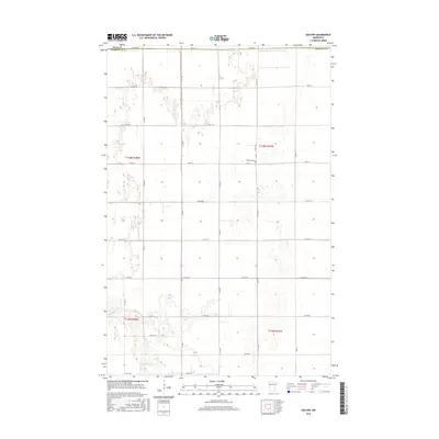
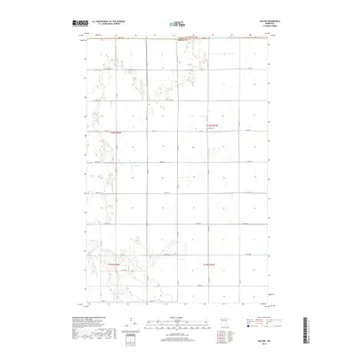
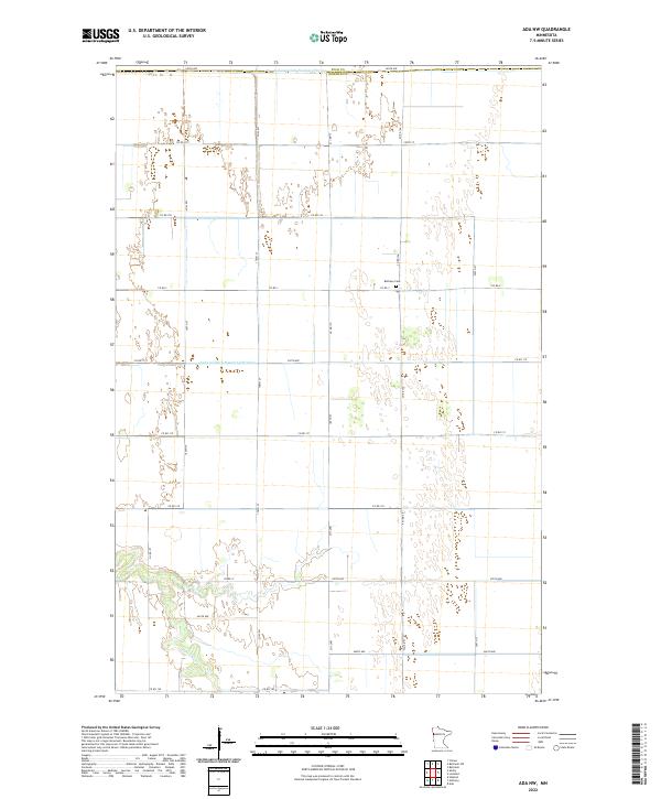
1965 Ada NW
Norman County, MN
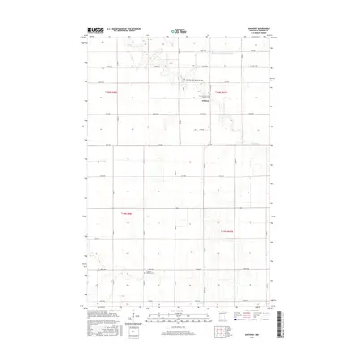
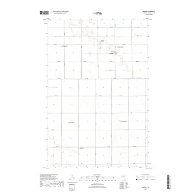
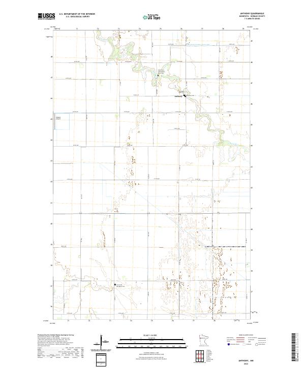
1965 Anthony
Norman County, MN
1965 Flaming
Norman County, MN
1965 Lockhart
Norman County, MN
1965 Syre
Norman County, MN
1965 Twin Valley NW
Norman County, MN
1965 Twin Valley SW
Norman County, MN
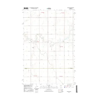
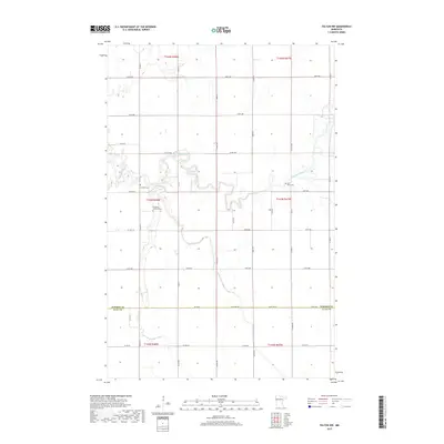
1965 Ulen NW
Norman County, MN
1965 Waukon
Norman County, MN
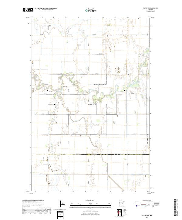
1966 Felton NW
Norman County, MN
1966 Flom
Norman County, MN
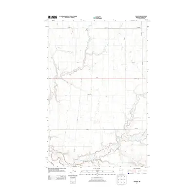
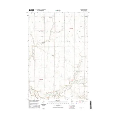
1966 Ranum
Norman County, MN
1967 Elkton
Norman County, MN
2010 Ada NW
Norman County, MN
2010 Anthony
Norman County, MN
2010 Felton NW
Norman County, MN
2010 Flaming
Norman County, MN
2010 Lockhart
Norman County, MN
2010 Syre
Norman County, MN
2010 Twin Valley NW
Norman County, MN
2010 Twin Valley SW
Norman County, MN
2010 Ulen NW
Norman County, MN
2010 Waukon
Norman County, MN
2011 Flom
Norman County, MN
2011 Ranum
Norman County, MN
2013 Ada NW
Norman County, MN
2013 Anthony
Norman County, MN
2013 Felton NW
Norman County, MN
2013 Flaming
Norman County, MN
2013 Flom
Norman County, MN
2013 Lockhart
Norman County, MN
2013 Ranum
Norman County, MN
2013 Syre
Norman County, MN
2013 Twin Valley NW
Norman County, MN
2013 Twin Valley SW
Norman County, MN
2013 Ulen NW
Norman County, MN
2013 Waukon
Norman County, MN
2016 Ada NW
Norman County, MN
2016 Anthony
Norman County, MN
2016 Felton NW
Norman County, MN
2016 Flaming
Norman County, MN
2016 Flom
Norman County, MN
2016 Lockhart
Norman County, MN
2016 Ranum
Norman County, MN
2016 Syre
Norman County, MN
2016 Twin Valley NW
Norman County, MN
2016 Twin Valley SW
Norman County, MN
2016 Ulen NW
Norman County, MN
2016 Waukon
Norman County, MN
2019 Ada NW
Norman County, MN
2019 Anthony
Norman County, MN
2019 Felton NW
Norman County, MN
2019 Flaming
Norman County, MN
2019 Flom
Norman County, MN
2019 Lockhart
Norman County, MN
2019 Ranum
Norman County, MN
2019 Syre
Norman County, MN
2019 Twin Valley NW
Norman County, MN
2019 Twin Valley SW
Norman County, MN
2019 Ulen NW
Norman County, MN
2019 Waukon
Norman County, MN
2022 Ada NW
Norman County, MN
2022 Anthony
Norman County, MN
2022 Felton NW
Norman County, MN
2022 Flaming
Norman County, MN
2022 Flom
Norman County, MN
2022 Lockhart
Norman County, MN
2022 Ranum
Norman County, MN
2022 Syre
Norman County, MN
2022 Twin Valley NW
Norman County, MN
2022 Twin Valley SW
Norman County, MN
2022 Ulen NW
Norman County, MN
2022 Waukon
Norman County, MN