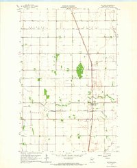
1919 Map of Beltrami
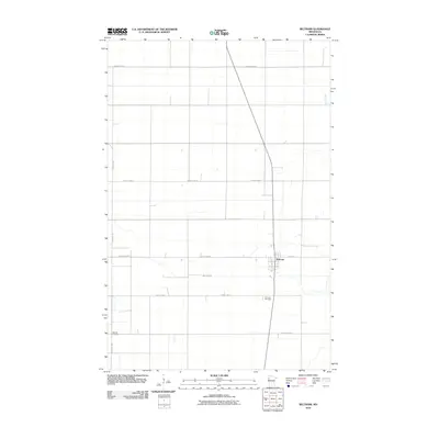
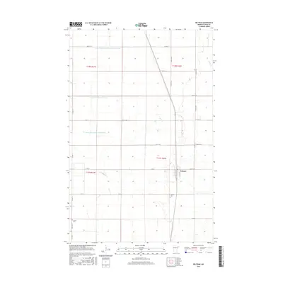
USGS Topo · Published 1944About this map
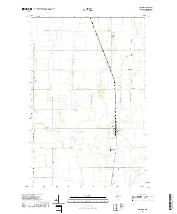
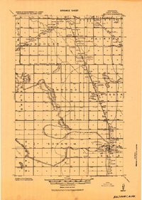
The agrarian landscape of Polk County is dominated by the grain-shipping infrastructure of the early twentieth century, centered on the Beltrami settlement. As an advance sheet compiled by the Department Engineer, this survey highlights a massive network of drainage infrastructure, labeled simply as Ditch, which transformed the Red River Valley into productive farmland. The economic life of the region is traced through its elevators, including the Beltrami North Elevator and Kittson Elevator, situated alongside the Northern Pacific and Great Northern railroads. These rail lines facilitated the growth of small hubs like Girard and Russia. Away from the tracks, the survey captures the social fabric of rural townships such as Andover and Scandia, where numerous Schools, Churches, and small Cemeteries served the farming families established across the flat plains north of the Sand Hill River.
Find a feature on this map
26 named features on this map. Tap any name to fly to it.
Don’t see what you’re looking for? This feature index may not catch every label — zoom into the map to look around manually.
Map Details
Editions of this 1919 Beltrami Map
This is the sole edition of this map. No revisions or reprints were ever made.
Historical Maps of Crookston Through Time
7 maps found