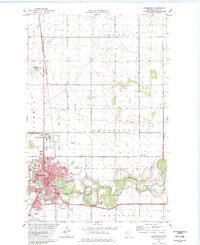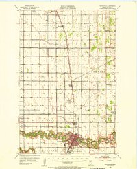
1953 Map of Crookston
USGS Topo · Published 1955About this map
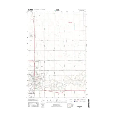
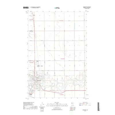
The Red Lake River meanders sharply through the southern portion of this region, anchoring the city of Crookston as a vital regional hub for education, medicine, and transport in the early 1950s. The city's landscape is defined by institutions such as the University of Minnesota Experimental Station, Mt St Benedict Academy, and the Sunnyrest Sanatorium. The surrounding prairie is meticulously organized into townships like Fanny and Belgium, revealing a dense network of rural infrastructure including the Minakwa Country Club and several schools that were already marked as out of use, such as the Tin Sch.
Find a feature on this map
43 named features on this map. Tap any name to fly to it.
Don’t see what you’re looking for? This feature index may not catch every label — zoom into the map to look around manually.
Map Details
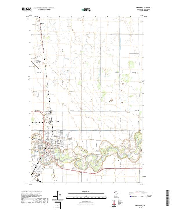
Editions of this 1953 Crookston Map
This is the sole edition of this map. No revisions or reprints were ever made.
Historical Maps of Crookston Through Time
8 maps found