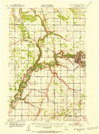
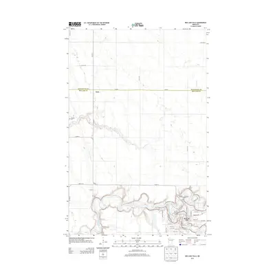
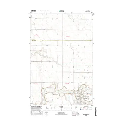
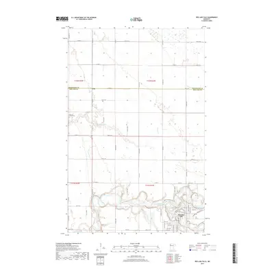
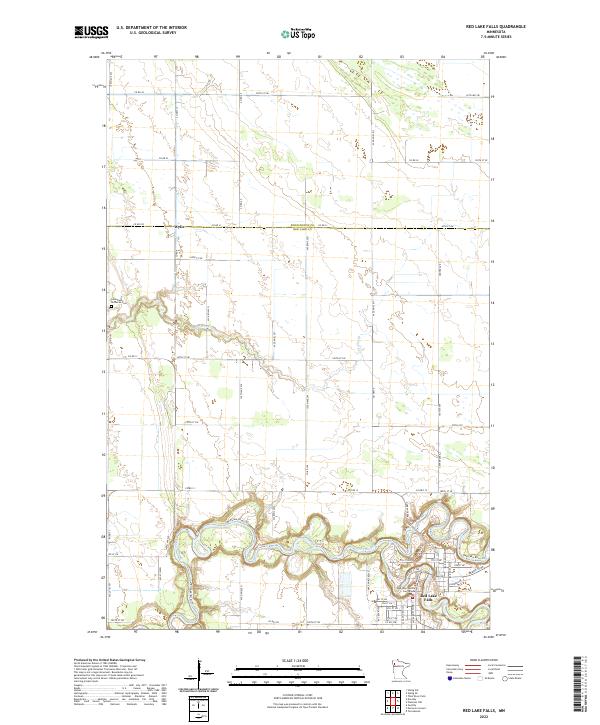
1952 Map of Red Lake Falls
USGS Topo · Published 1954About this map
Red Lake Falls serves as the focal point of this Northwest Minnesota survey, where the Red Lake River and Black River converge amidst a dense network of early rural settlements and agricultural townships. The landscape is defined by its educational and religious foundations, evidenced by the numerous country schools like Prairie Queen Sch, Jahnke Sch, and Woodland Sch that dotted the countryside before the era of district consolidation. Transportation and trade were governed by the Northern Pacific and Great Northern railroads, which facilitated the growth of smaller stops such as Wylie and Dorothy. In the southern reaches, the village of Gentilly and landmarks like Marcoux Corners highlight the French-Canadian influence in the region, while the Huot Historical Park preserves a site of significance along the winding riverbanks. The map also captures the transition from wetland to farmland, notably at the Goose Lake Swamp in the northwest.
Find a feature on this map
48 named features on this map. Tap any name to fly to it.
Don’t see what you’re looking for? This feature index may not catch every label — zoom into the map to look around manually.
Map Details
Editions of this 1952 Red Lake Falls Map
This is the sole edition of this map. No revisions or reprints were ever made.
Historical Maps of Red Lake Falls Through Time
8 maps found
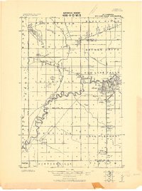
1918 Red Lake Falls
Red Lake County, MN
1952 Red Lake Falls
Red Lake County, MN
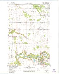
1982 Red Lake Falls
Red Lake County, MN
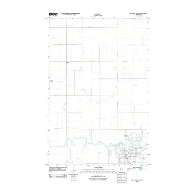
2010 Red Lake Falls
Red Lake County, MN
2013 Red Lake Falls
Red Lake County, MN
2016 Red Lake Falls
Red Lake County, MN
2019 Red Lake Falls
Red Lake County, MN
2022 Red Lake Falls
Red Lake County, MN