2020s Maps of Eyota, Minnesota
Explore 2 historic maps of Eyota from the 2020s. These maps offer a rare glimpse into what life looked like during the 2020s — showing old roads, neighborhoods, homes, and landmarks that have changed or disappeared over time.
Whether you're researching your family's past, planning a metal detecting trip, or studying how Eyota's landscape evolved across the 2020s, these high-resolution maps are a powerful tool for exploring the history of this region.
- Focus on a specific era: All maps on this page are from the 2020s, giving you a focused view of this time period.
- See what’s changed: Compare century-old streets, trails, and buildings to today's modern landscape using overlays and satellite layers.
- Research with precision: Use these maps for genealogy, historical research, land use analysis, or educational projects.
- View, download, or print: Maps are fully viewable online in high resolution, and can be downloaded or printed for your own records.
Start exploring Eyota's history through authentic maps from the 2020s. This is your window into the past.
Eyota, MN maps
(2)- 2022 Map of Marion, 2022 Print
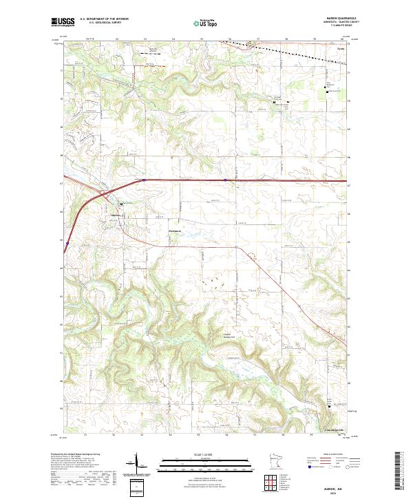 2022 Marion2022 Print · USGSSoutheast of Rochester during the 2020s, this area shows a landscape of small agricultural hamlets and family farmsteads. Genealogists can trace local roots through numerous burial sites like Marion Cem, Orion Center Cem, and the family-named Walter McConnell Farm Cem.
 - 2022 Map of Eyota, 2022 Print
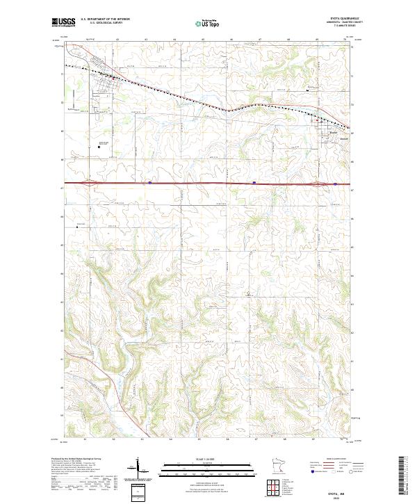 2022 Eyota2022 Print · USGSOlmsted County’s farm country is captured here just south of the Whitewater River in the early 2020s. Genealogists and local historians can locate smaller landmarks like Cline Cem and Evergreen Cem or trace the rural routes connecting Eyota and Dover.
End of results
Showing maps 1-2 of 2
Top cities near Eyota
- Rochester historical maps
- Marion historical maps
- Plainview historical maps
- Chatfield historical maps
- Elgin historical maps
- Pleasant Grove historical maps
See more
Frequently asked questions
- What are the different types of historical maps available for Eyota?
- What is the oldest map of Eyota?
- Where can I purchase historical maps of Eyota for my home or office?
- Where can I download high-res historical maps of Eyota?
- Are there historical topographic maps available for Eyota?
- Is there historical aerial imagery available for Eyota?
- Where are historical maps of Eyota sourced from?