Old Maps of Eyota, Minnesota for Hiking & Exploration
Hike through history with 18 historic maps of Eyota. Explore old trails, ghost towns, and forgotten backroads — perfect for outdoor adventurers and local explorers.
- Rediscover forgotten places: Map out old mining camps, roads, and footpaths that no longer exist on modern maps.
- Layer with modern tools: Combine with LiDAR or satellite views to plan hikes through historical terrain.
- Made for exploration: Popular among hikers, overlanders, and local history lovers.
Use these maps to find adventure and explore the hidden past of Eyota.
Eyota, MN maps
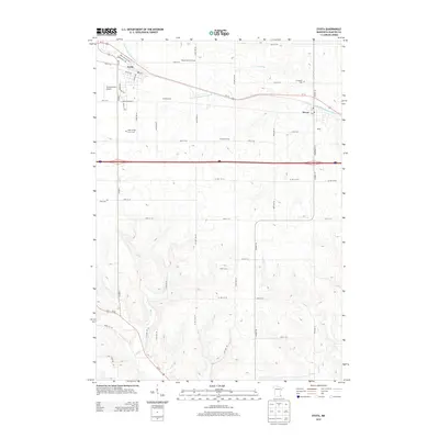
(18)- 1954 Map of Chatfield, 1956 Print
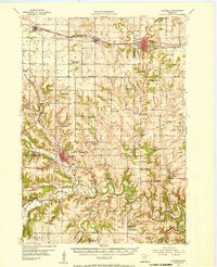 1954 Chatfield1956 Print · USGSSoutheastern Minnesota's river valleys and rail towns are captured here in the mid-1950s, showing the region's transition from a rural schoolhouse network to modern townships. Genealogists can locate family-named landmarks like Loughrey Sch or Casper Sch and early church sites such as Root Prairie Ch.2 unique versions available
 - 1954 Map of Mason City, 1967 Print
 1954 Mason City1967 Print · USGSSouthern Minnesota and northern Iowa are shown here at the height of the mid-century rail era, centered on the regional hubs of Mason City and Rochester. Researchers can trace the vanished paths of the Chicago Great Western and find local landmarks like Pilot Knob and Bear Lake.2 unique versions available
 - 1955 Map of Stewartville, 1956 Print
 1955 Stewartville1956 Print · USGSSouthern Minnesota's farming country and river valleys are shown in the mid-fifties as rural life revolved around local rail depots and school districts. Researchers can find numerous country schools like Little Red Sch and St Bridget Sch, plus family-named cemeteries such as Holy Redeemer Cem and Jerusalem Cem.2 unique versions available
 - 1957 Map of Mason City
 1957 Mason City1957 Print · USGSThe Minnesota-Iowa border region comes alive in this mid-century survey, from the industrial plants of Mason City to the medical hub of Rochester. Researchers can trace the rail-and-river economy through the Chicago Great Western Railway and the Shell Rock River.
 - 1958 Map of Mason City
 1958 Mason City1958 Print · USGSSouthern Minnesota and northern Iowa are shown during the mid-fifties when railroads still anchored the regional economy. Genealogists and historians can trace the intricate rail networks of the Illinois Central and find local landmarks in Mason City, Albert Lea, and Austin.
 - 1974 Map of Marion, 1976 Print
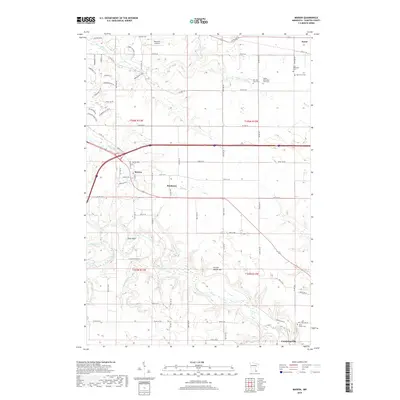
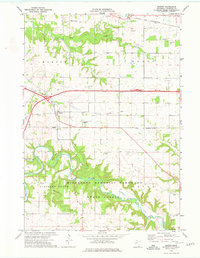 1974 Marion1976 Print · USGSIn the mid-1970s, the rural reaches of Olmsted County centered on the community of Marion and the developing transit corridors of southeastern Minnesota. Genealogists and local historians can trace family-named landmarks like Oak Grove Cem, the small settlement of Predmore, and the path of the North Branch Root River.
 - 1974 Map of Eyota, 1976 Print
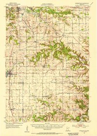
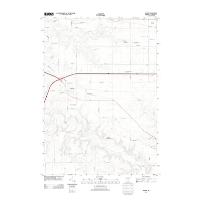
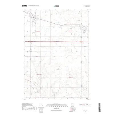
 1974 Eyota1976 Print · USGSOlmsted County’s eastern townships are shown during the mid-1970s, as small-town commerce centered on the rail corridor. Researchers can trace family plots at Evergreen Cem, explore the deep valleys of the Minnesota Memorial Hardwood State Forest, and locate the settlement at Dover.
 - 1985 Map of Austin
 1985 Austin1985 Print · USGSSoutheast Minnesota in the mid-1980s reveals a land of river valleys and agricultural hubs along the Iowa border. Researchers can trace the legacy of regional transport through the Chicago and North Western line and landmarks like Niagara Cave or the Rochester Municipal Airport.2 unique versions available
 - 2010 Map of Marion, 2010 Print
 2010 Marion2010 Print · USGSCovers Eyota, including Marion, Predmore, and other nearby areas
 - 2010 Map of Eyota, 2010 Print
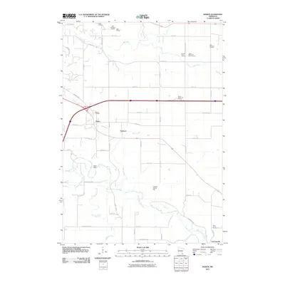
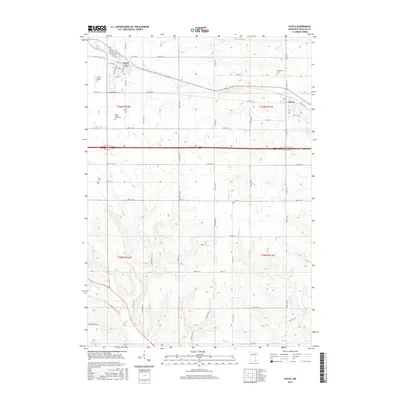
 2010 Eyota2010 Print · USGSCovers Eyota, including Dover, Olmsted County, and other nearby areas
 - 2013 Map of Marion, 2013 Print
 2013 Marion2013 Print · USGSCovers Eyota, including Marion, Predmore, and other nearby areas
 - 2013 Map of Eyota, 2013 Print
 2013 Eyota2013 Print · USGSCovers Eyota, including Dover, Olmsted County, and other nearby areas
 - 2016 Map of Marion, 2016 Print
 2016 Marion2016 Print · USGSCovers Eyota, including Marion, Predmore, and other nearby areas
 - 2016 Map of Eyota, 2016 Print
 2016 Eyota2016 Print · USGSCovers Eyota, including Dover, Olmsted County, and other nearby areas
 - 2019 Map of Eyota, 2019 Print
 2019 Eyota2019 Print · USGSCovers Eyota, including Dover, Olmsted County, and other nearby areas
 - 2019 Map of Marion, 2019 Print
 2019 Marion2019 Print · USGSCovers Eyota, including Marion, Predmore, and other nearby areas
 - 2022 Map of Marion, 2022 Print
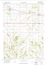
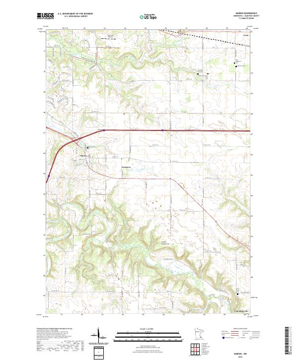 2022 Marion2022 Print · USGSSoutheast of Rochester during the 2020s, this area shows a landscape of small agricultural hamlets and family farmsteads. Genealogists can trace local roots through numerous burial sites like Marion Cem, Orion Center Cem, and the family-named Walter McConnell Farm Cem.
 - 2022 Map of Eyota, 2022 Print
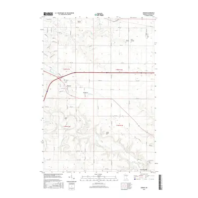
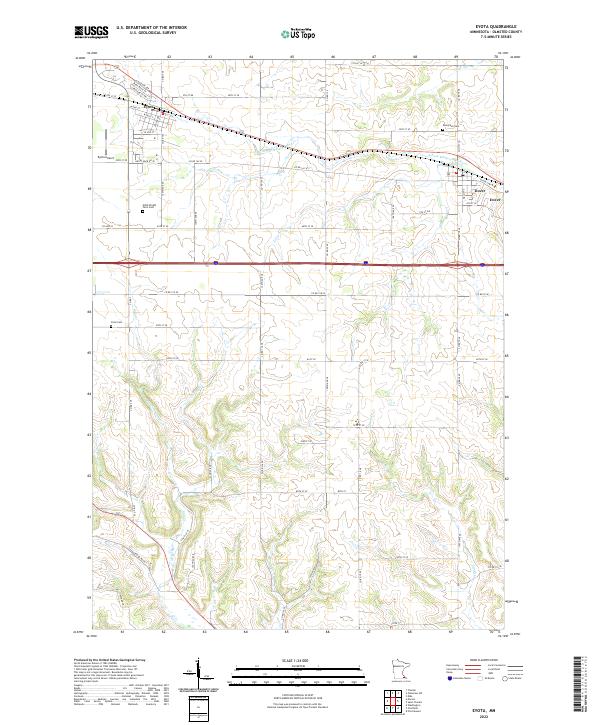 2022 Eyota2022 Print · USGSOlmsted County’s farm country is captured here just south of the Whitewater River in the early 2020s. Genealogists and local historians can locate smaller landmarks like Cline Cem and Evergreen Cem or trace the rural routes connecting Eyota and Dover.
End of results
Showing maps 1-18 of 18
Top cities near Eyota
- Rochester historical maps
- Marion historical maps
- Plainview historical maps
- Chatfield historical maps
- Elgin historical maps
- Pleasant Grove historical maps
See more
Frequently asked questions
- What are the different types of historical maps available for Eyota?
- What is the oldest map of Eyota?
- Where can I purchase historical maps of Eyota for my home or office?
- Where can I download high-res historical maps of Eyota?
- Are there historical topographic maps available for Eyota?
- Is there historical aerial imagery available for Eyota?
- Where are historical maps of Eyota sourced from?