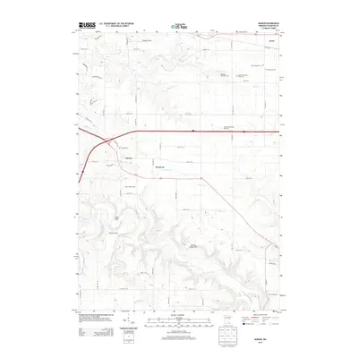
2013 Map of Marion
USGS Topo · Published 2013About this map
The N Br Root River carves a deep valley through the southern half of this landscape, flanked by distinctive landmarks like Table Rock and Chance Hollow Hill. In the northern plains, the rural character of the early 21st century is defined by small settlements at Marion and Predmore, while Trygstad Airport serves the local aviation needs. A network of country roads including Stagecoach Rd SE and Marion Rd SE connect the high plateaus with the creek bottoms of Badger Run and Kinney Cr. Genealogists will find a concentrated cluster of family-centered burial sites across these acres, including the Ben Baer Farm Cem, Walter McConnell Farm Cem, and the Orion Center Cem, reflecting the deep agricultural roots of this Minnesota community.
Find a feature on this map
50 named features on this map. Tap any name to fly to it.
Don’t see what you’re looking for? This feature index may not catch every label — zoom into the map to look around manually.
Map Details
Editions of this 2013 Marion Map
This is the sole edition of this map. No revisions or reprints were ever made.
Other maps of this area

1934 · Plainview
USGS Topo · 1:62,500

1935 · Rochester
USGS Topo · 1:48,000

1938 · Plainview
USGS Topo · 1:62,500

1939 · Rochester
USGS Topo · 1:62,500

1953 · Saint Paul
USGS Topo · 1:250,000

1954 · Chatfield
USGS Topo · 1:62,500

1954 · Mason City
USGS Topo · 1:250,000

1955 · Stewartville
USGS Topo · 1:62,500

1957 · Mason City
USGS Topo · 1:250,000

1958 · Mason City
USGS Topo · 1:250,000