Old Maps of Dent, Minnesota
Explore 12 old maps of Dent, spanning from 1915 to today. These high-resolution historic maps reveal how streets, neighborhoods, landmarks, and natural features evolved over time — perfect for genealogy, metal detecting, research, and local history exploration.
What you can do with these maps:
- See how Dent changed over time: Compare historical maps to modern-day views to trace roads, homesites, rail lines & more.
- View detailed metadata: Each map includes creators, publishers, year, scale, and archive source.
- Overlay maps with satellite & LiDAR: Visualize the past alongside modern tools to explore terrain & human change.
- Trusted historical sources: Maps sourced from the USGS, Library of Congress, and other archives.
- Access maps your way: View online, download high-res files, or order prints for personal or research use.
Start exploring old maps of Dent to uncover forgotten places, hidden landmarks, and the deep history beneath your feet.
Dent, MN maps
(12)- 1915 Map of Perham
 1915 Perham1915 Print · USGSOtter Tail County was a landscape of steam and water in the early twentieth century. Genealogists can trace family footprints through numerous rural school sites like School No 132 and settlements along the Northern Pacific including Perham and Frazee.3 unique versions available
 - 1953 Map of Brainerd, 1966 Print
 1953 Brainerd1966 Print · USGSCentral Minnesota's lake country and iron ranges are detailed in the mid-fifties, showing the intersection of industry and wilderness. Researchers can locate specific local landmarks like the Crow Wing County Courthouse or trace the early paths of the Soo Line Railroad and the Cuyuna Range Iron Mines.3 unique versions available
 - 1957 Map of Brainerd
 1957 Brainerd1957 Print · USGSNorth-central Minnesota's lake-rich landscape is captured in the mid-1950s as a crossroads of rail, river, and forest. Genealogists and historians can trace the paths of the Great Northern and Soo Line railroads through hubs like Brainerd, Wadena, and Detroit Lakes.
 - 1958 Map of Brainerd
 1958 Brainerd1958 Print · USGSCentral Minnesota in the late fifties is a landscape of dense lake chains, rail hubs, and sprawling state forests. Genealogists and local historians can trace old property alignments near the Mississippi River or locate family sites in Brainerd, Little Falls, and Detroit Lakes.
 - 1965 Map of Brainerd
 1965 Brainerd1965 Print · USGSNorth-central Minnesota in the mid-fifties presents a complex landscape of sprawling lake systems and established rail corridors. Genealogists and historians can trace the growth of timber towns along the Northern Pacific RR and explore early borders of the White Earth Indian Reservation or Tamarac National Wildlife Refuge.
 - 1973 Map of Dent, 1975 Print
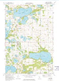 1973 Dent1975 Print · USGSThe village of Dent and the surrounding lakes are captured in the early 1970s as seasonal recreation and conservation efforts shaped the landscape. Genealogists and local historians can trace family plots at Pleasant Hill Cem or follow the Soo Line rail corridor past Richville.
 - 1986 Map of Detroit Lakes
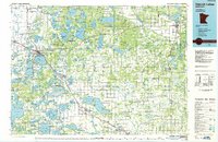 1986 Detroit Lakes1986 Print · USGSBecker and Otter Tail counties in the 1980s reveal a landscape of vast wildlife refuges and glacial lakes. Genealogists and historians can trace the rail corridor through Detroit Lakes and Perham or locate family sites near Sugar Bush Lake and Smoky Hill Lookout.2 unique versions available
 - 2010 Map of Dent, 2010 Print
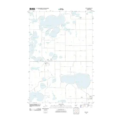 2010 Dent2010 Print · USGSOtter Tail County’s lake country is captured here in the early twenty-first century, showing the established communities of Dent and Richville. Genealogists and historians can trace local family roots through sites like Pleasant Hill Cemetery or explore the shores of Marion Lake and Little McDonald Lake.
 - 2013 Map of Dent, 2013 Print
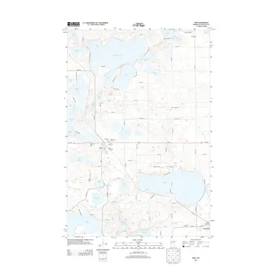 2013 Dent2013 Print · USGSOtter Tail County's lake-studded landscape is captured here in the early twenty-first century, centered on the village of Dent. Researchers can trace local heritage at Richville Cem, Immanuel Cem, and Sacred Heart Cem, or locate landmarks like Sabbia Dairy Farm.
 - 2016 Map of Dent, 2016 Print
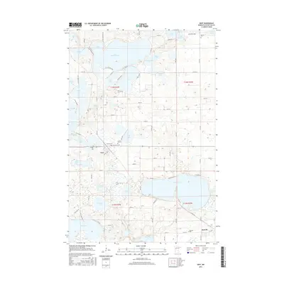 2016 Dent2016 Print · USGSOtter Tail County’s lake country is captured here in the mid-2010s, showing the settled areas of Dent and Richville. Genealogists and historians can locate several local burial grounds including Sacred Heart Cem, Richville Cem, and Memorial Cem.
 - 2019 Map of Dent, 2019 Print
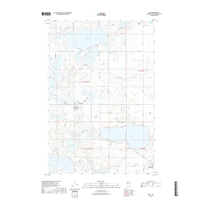 2019 Dent2019 Print · USGSOtter Tail County's lake-strewn landscape is captured here in the late twenty-teens, centering on the village of Dent. Genealogists can locate several local burial grounds, including Pleasant Hill Cem, Sacred Heart Cem, and Richville Cem.
 - 2022 Map of Dent, 2022 Print
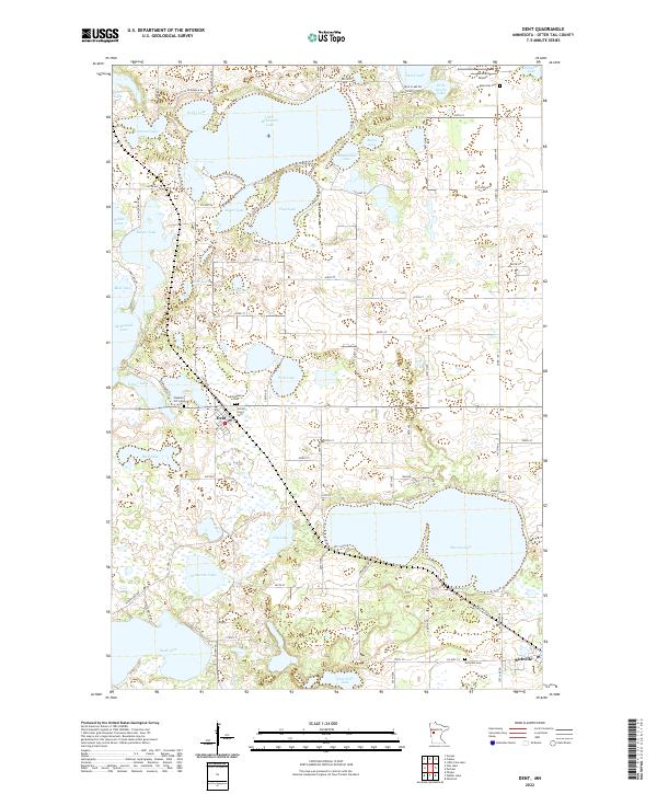 2022 Dent2022 Print · USGSThe lakeside communities of Otter Tail County are mapped here in the early twenty-first century, showing the established rural character of the region. Local researchers can trace family sites at Immanuel Cem and Pleasant Hill Cem or explore the settlement patterns around Dent and Richville.
End of results
Showing maps 1-12 of 12
Top cities near Dent
- Detroit Lakes historical maps
- Perham historical maps
- Frazee historical maps
- Maine historical maps
- Ottertail historical maps
- Amor historical maps
See more
Top neighborhoods of Dent
Frequently asked questions
- What are the different types of historical maps available for Dent?
- What is the oldest map of Dent?
- Where can I purchase historical maps of Dent for my home or office?
- Where can I download high-res historical maps of Dent?
- Are there historical topographic maps available for Dent?
- Is there historical aerial imagery available for Dent?
- Where are historical maps of Dent sourced from?