Old Maps of Norwegian Grove, Minnesota for Hiking & Exploration
Hike through history with 12 historic maps of Norwegian Grove. Explore old trails, ghost towns, and forgotten backroads — perfect for outdoor adventurers and local explorers.
- Rediscover forgotten places: Map out old mining camps, roads, and footpaths that no longer exist on modern maps.
- Layer with modern tools: Combine with LiDAR or satellite views to plan hikes through historical terrain.
- Made for exploration: Popular among hikers, overlanders, and local history lovers.
Use these maps to find adventure and explore the hidden past of Norwegian Grove.
Norwegian Grove, MN maps
(12)- 1914 Map of Pelican Rapids, 1949 Print
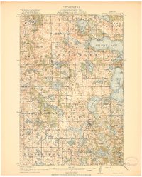
 1914 Pelican Rapids1949 Print · USGSThe glacier-carved landscape of Otter Tail County is shown here just before the First World War, when rural schools and lakefront resorts defined the local character. Genealogists can trace family roots through sites like South Emmanuel Church and Bangor Cemetery or locate the many schoolhouses including Rollag School.
 - 1917 Map of Pelican Rapids
 1917 Pelican Rapids1917 Print · USGSOtter Tail County was a landscape of dense rural school districts and lakeside retreats just before the First World War. Genealogists can trace family footprints through dozens of landmarks like Swede Grove Church, Dunn's Resort, and Bangor Cemetery.3 unique versions available
 - 1953 Map of Fargo, 1965 Print
 1953 Fargo1965 Print · USGSThe Red River Valley in the mid-fifties was a bustling rail and agricultural corridor during a period of steady prairie growth. Genealogists and historians can trace the intricate rail networks of the Great Northern and Soo Line connecting local hubs like Casselton and Wahpeton.2 unique versions available
 - 1956 Map of Fargo
 1956 Fargo1956 Print · USGSThe Red River Valley's agricultural heartland is documented here in the mid-fifties as the rail-and-road network expanded across the plains. Genealogists can trace family roots through numerous small railroad towns and local landmarks like Casselton, Sheyenne Valley Church, and Sisseton Indian Res.
 - 1973 Map of Lake Olaf, 1975 Print
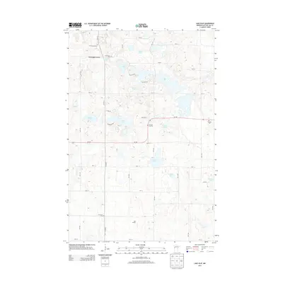
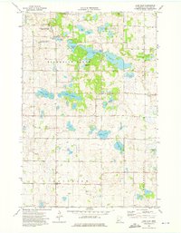 1973 Lake Olaf1975 Print · USGSOtter Tail County’s glaciated landscape is shown here in the early seventies, featuring the small community of Norwegian Grove. Genealogists can trace family names through the North Immanuel Cem and Ringsaker Cem, or locate landmarks like Lake Olaf and the South Immanuel Ch.
 - 1985 Map of Fargo
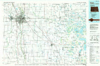 1985 Fargo1985 Print · USGSThe Red River Valley and the Minnesota lake country meet in this mid-1980s survey of the Fargo-Moorhead border region. Genealogists and researchers can trace the Burlington Northern rail corridors and find rural communities like Pelican Rapids, Sabin, and Dilworth.2 unique versions available
 - 1989 Map of Fargo, 1990 Print
 1989 Fargo1990 Print · USGSThe Red River Valley at the end of the eighties shows a landscape of flourishing university towns and vital rail corridors. Researchers can trace family roots through Riverside Cem, find early campus layouts for North Dakota State University, or follow the Soo Line Railroad through West Fargo.
 - 2010 Map of Lake Olaf, 2010 Print
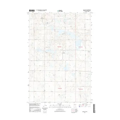
 2010 Lake Olaf2010 Print · USGSCovers Norwegian Grove, including Otter Tail County, United States, and other nearby areas
 - 2013 Map of Lake Olaf, 2013 Print
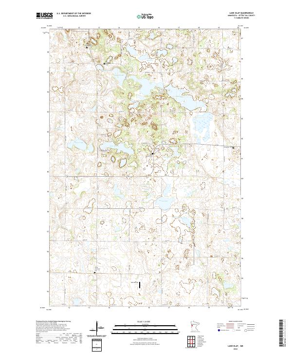
 2013 Lake Olaf2013 Print · USGSCovers Norwegian Grove, including Otter Tail County, United States, and other nearby areas
 - 2016 Map of Lake Olaf, 2016 Print
 2016 Lake Olaf2016 Print · USGSCovers Norwegian Grove, including Otter Tail County, United States, and other nearby areas
 - 2019 Map of Lake Olaf, 2019 Print
 2019 Lake Olaf2019 Print · USGSCovers Norwegian Grove, including Otter Tail County, United States, and other nearby areas
 - 2022 Map of Lake Olaf, 2022 Print
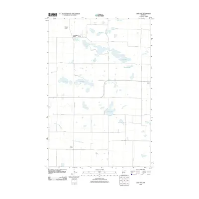
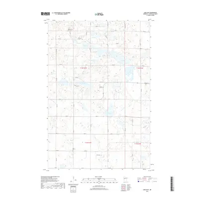
 2022 Lake Olaf2022 Print · USGSOtter Tail County in the early twenty-first century is a landscape of glacial lakes and pioneer-era churchyards. Genealogists can locate family landmarks like Norwegian Grove Cem and South Immanuel Cem, while pilots can trace the location of the private Velo Airstrip.
End of results
Showing maps 1-12 of 12
Top cities near Norwegian Grove
- Pelican Rapids historical maps
- Barnesville historical maps
- Cormorant historical maps
- Tansem historical maps
- Rothsay historical maps
- Erhard historical maps
Frequently asked questions
- What are the different types of historical maps available for Norwegian Grove?
- What is the oldest map of Norwegian Grove?
- Where can I purchase historical maps of Norwegian Grove for my home or office?
- Where can I download high-res historical maps of Norwegian Grove?
- Are there historical topographic maps available for Norwegian Grove?
- Is there historical aerial imagery available for Norwegian Grove?
- Where are historical maps of Norwegian Grove sourced from?