Old Maps of Tumuli Township, Minnesota for Genealogy
Trace your family roots with 36 historic maps of Tumuli Township. These high-res maps reveal old neighborhoods, homesites, landmarks, and streets — helping you uncover where your ancestors lived and how the area evolved over time.
- Explore historic neighborhoods: Identify where your relatives may have lived in the 1800s or 1900s.
- Compare maps over time: Trace the changes in streets, buildings, and landmarks for multi-generational research.
- Perfect for genealogy & ancestry research: Used by family historians and researchers to map out lineage and migration.
These maps are an incredible resource for exploring your personal connection to Tumuli Township's past.
Tumuli Township, MN maps
(36)- 1910 Map of Wendell, 1965 Print
 1910 Wendell1965 Print · USGSGrant and Otter Tail counties are shown here in the early twentieth century as a burgeoning network of rail lines and lakeside settlements. Genealogists can locate over twenty numbered schoolhouses and early stations along the Minneapolis St Paul and Sault Ste Marie line near Wendell and Hereford.
 - 1913 Map of Ashby
 1913 Ashby1913 Print · USGSBefore the modernization of the Midwest, this part of Minnesota was a patchwork of numbered school districts and vital rail lines. Genealogists can trace family footprints near Dalton or search for local landmarks like School No 81, Tenmile Lake, and the Northern Pacific RR.4 unique versions available
 - 1913 Map of Wendell
 1913 Wendell1913 Print · USGSGrant and Otter Tail counties appear here just before the Great War, showing a landscape defined by prairie rail expansion and rural school districts. Genealogists can locate specific farmstead locations near School No 119, Dayton Dam, or the village of Wendell.
 - 1953 Map of Fargo, 1965 Print
 1953 Fargo1965 Print · USGSThe Red River Valley in the mid-fifties was a bustling rail and agricultural corridor during a period of steady prairie growth. Genealogists and historians can trace the intricate rail networks of the Great Northern and Soo Line connecting local hubs like Casselton and Wahpeton.2 unique versions available
 - 1953 Map of Brainerd, 1966 Print
 1953 Brainerd1966 Print · USGSCentral Minnesota's lake country and iron ranges are detailed in the mid-fifties, showing the intersection of industry and wilderness. Researchers can locate specific local landmarks like the Crow Wing County Courthouse or trace the early paths of the Soo Line Railroad and the Cuyuna Range Iron Mines.3 unique versions available
 - 1956 Map of Fargo
 1956 Fargo1956 Print · USGSThe Red River Valley's agricultural heartland is documented here in the mid-fifties as the rail-and-road network expanded across the plains. Genealogists can trace family roots through numerous small railroad towns and local landmarks like Casselton, Sheyenne Valley Church, and Sisseton Indian Res.
 - 1957 Map of Brainerd
 1957 Brainerd1957 Print · USGSNorth-central Minnesota's lake-rich landscape is captured in the mid-1950s as a crossroads of rail, river, and forest. Genealogists and historians can trace the paths of the Great Northern and Soo Line railroads through hubs like Brainerd, Wadena, and Detroit Lakes.
 - 1958 Map of Brainerd
 1958 Brainerd1958 Print · USGSCentral Minnesota in the late fifties is a landscape of dense lake chains, rail hubs, and sprawling state forests. Genealogists and local historians can trace old property alignments near the Mississippi River or locate family sites in Brainerd, Little Falls, and Detroit Lakes.
 - 1965 Map of Brainerd
 1965 Brainerd1965 Print · USGSNorth-central Minnesota in the mid-fifties presents a complex landscape of sprawling lake systems and established rail corridors. Genealogists and historians can trace the growth of timber towns along the Northern Pacific RR and explore early borders of the White Earth Indian Reservation or Tamarac National Wildlife Refuge.
 - 1973 Map of Dalton, 1975 Print
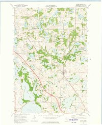 1973 Dalton1975 Print · USGSOtter Tail County's lake-rich landscape is captured here in the early 1970s, centered on the rail-side community of Dalton. Genealogists and local historians can trace the foundations of this farming region through the Sarpsborg Cem, Tenmile Lake Ch, and the winding Pomme de Terre River.
 - 1973 Map of Dayton Hollow Dam, 1975 Print
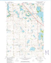 1973 Dayton Hollow Dam1975 Print · USGSOtter Tail County in the early seventies reveals a landscape transition between agricultural townships and extensive conservation lands. Genealogists and historians can trace family locations near Ness and Squier, or locate old burials at Aastad Ch Cem.
 - 1973 Map of Fourmile Lake, 1975 Print
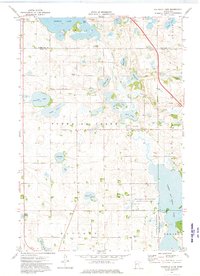 1973 Fourmile Lake1975 Print · USGSGrant County in the early seventies was a mosaic of glacial basins and quiet farmsteads west of the Pelican Lake area. Family historians can trace local roots through landmarks like Hjerdal Cem and the Townhall, or follow the winding Pomme de Terre River.
 - 1973 Map of Wendell, 1975 Print
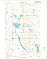 1973 Wendell1975 Print · USGSThe Grant County prairie comes into focus in the early 1970s, showing a landscape defined by water conservation and rail history. Trace the Soo railroad through Wendell or locate local landmarks like Trinity Cem and the Old Railroad Grade Line.2 unique versions available
 - 1985 Map of Wahpeton, 1986 Print
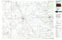 1985 Wahpeton1986 Print · USGSThe Red River Valley and Minnesota lake country meet in the mid-eighties at the border towns of Wahpeton and Breckenridge. Genealogists and historians can trace the rail lines of the Burlington Northern through settlements like Abercrombie and Hankinson, or locate legacy sites like Fort Abercrombie State Park.2 unique versions available
 - 1986 Map of Battle Lake
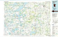 1986 Battle Lake1986 Print · USGSMinnesota's lake-rich glacial heartland is captured in the mid-1980s, showcasing a landscape defined by water and rail. Genealogists and collectors can trace the rural sections around Battle Lake and Parkers Prairie or locate family sites near Otter Tail Lake and Clitherall.2 unique versions available
 - 1989 Map of Fargo, 1990 Print
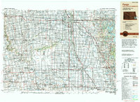 1989 Fargo1990 Print · USGSThe Red River Valley at the end of the eighties shows a landscape of flourishing university towns and vital rail corridors. Researchers can trace family roots through Riverside Cem, find early campus layouts for North Dakota State University, or follow the Soo Line Railroad through West Fargo.
 - 2010 Map of Fourmile Lake, 2010 Print
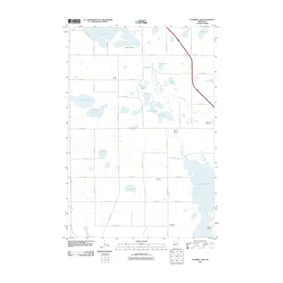 2010 Fourmile Lake2010 Print · USGSOtter Tail County in the early 21st century shows a landscape defined by glacial lakes and the winding Pomme de Terre River. Genealogists and local historians can locate several rural burial sites, including Hjerdal Cemetery, Burns Cemetery, and Bethlehem Cemetery.
 - 2010 Map of Dalton, 2010 Print
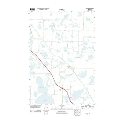 2010 Dalton2010 Print · USGSDalton and the surrounding lake country of Otter Tail County are shown here in the early twenty-first century as a landscape of interconnected waterways and historic cemeteries. Researchers can trace local heritage through sites like Zion Lutheran Church Cemetery, Sarpsborg Cemetery, and the Swan Lake Resort and Campground.
 - 2010 Map of Dayton Hollow Dam, 2010 Print
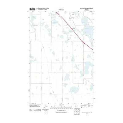 2010 Dayton Hollow Dam2010 Print · USGSOtter Tail County is captured here at the start of the 2010s, showing a landscape of glacial lakes and prairie farmland. Genealogists and local historians can trace family ties at Bethlehem Lutheran Cemetery or locate the site of Dayton Hollow Dam and Parkdale.
 - 2010 Map of Wendell, 2010 Print
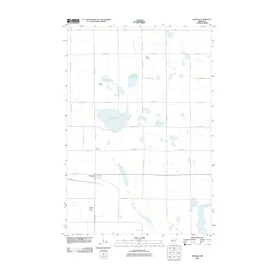 2010 Wendell2010 Print · USGSThe settlement of Wendell and its surrounding prairie lakes are captured in this 2010 survey. Researchers can trace local heritage through Rock Prairie Cemetery, Brutlag Farms Airport, and the winding course of the Mustinka River.
 - 2013 Map of Dalton, 2013 Print
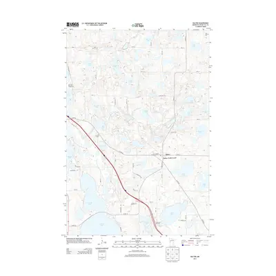 2013 Dalton2013 Print · USGSDalton and its surrounding prairie pothole region are documented here in the early twenty-first century. Genealogists can locate several historic burial sites, including Sarpsborg Cem and Zion Lutheran Church Cem, alongside lakes like N Tenmile Lake.
 - 2013 Map of Fourmile Lake, 2013 Print
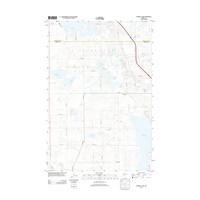 2013 Fourmile Lake2013 Print · USGSOtter Tail and Grant counties are captured here in the early twenty-first century, showing a landscape defined by glacial lakes and river valleys. Genealogists and local historians can locate several rural burial grounds, including Hjerdal Cem, Pomme de Terre Cem, and Burns Cem.
 - 2013 Map of Wendell, 2013 Print
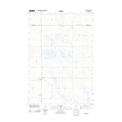 2013 Wendell2013 Print · USGSGrant County is captured in the early 21st century as a landscape of glacial lakes and prairie farmsteads centered on the town of Wendell. Researchers can locate family landmarks such as Rock Prairie Cem, Trinity Cem, and the private Brutlag Farms Airport.
 - 2013 Map of Dayton Hollow Dam, 2013 Print
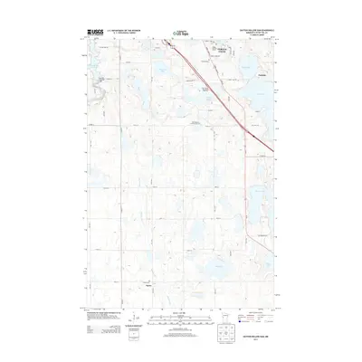 2013 Dayton Hollow Dam2013 Print · USGSFergus Falls and the lake-filled plains of Otter Tail County appear here in the early twenty-first century. Researchers can locate family landmarks at Aastad Cem or trace the river path from Dayton Hollow Dam toward Squier.
 - 2016 Map of Wendell, 2016 Print
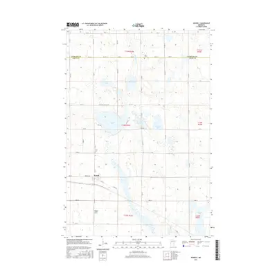 2016 Wendell2016 Print · USGSWendell and its surrounding lake-dotted townships are captured here in the mid-2010s. Local researchers can locate family burial plots at Rock Prairie Cem and Trinity Cem, or trace the path of the Mustinka River through this productive prairie landscape.
Showing maps 1-25 of 36
Top cities near Tumuli Township
- Fergus Falls historical maps
- Elbow Lake historical maps
- Battle Lake historical maps
- Ashby historical maps
- Barrett historical maps
- Underwood historical maps
See more
Frequently asked questions
- What are the different types of historical maps available for Tumuli Township?
- What is the oldest map of Tumuli Township?
- Where can I purchase historical maps of Tumuli Township for my home or office?
- Where can I download high-res historical maps of Tumuli Township?
- Are there historical topographic maps available for Tumuli Township?
- Is there historical aerial imagery available for Tumuli Township?
- Where are historical maps of Tumuli Township sourced from?