Old Maps of Woodside Township, Minnesota for Hiking & Exploration
Hike through history with 29 historic maps of Woodside Township. Explore old trails, ghost towns, and forgotten backroads — perfect for outdoor adventurers and local explorers.
- Rediscover forgotten places: Map out old mining camps, roads, and footpaths that no longer exist on modern maps.
- Layer with modern tools: Combine with LiDAR or satellite views to plan hikes through historical terrain.
- Made for exploration: Popular among hikers, overlanders, and local history lovers.
Use these maps to find adventure and explore the hidden past of Woodside Township.
Woodside Township, MN maps
(29)- 1953 Map of Brainerd, 1966 Print
 1953 Brainerd1966 Print · USGSCentral Minnesota's lake country and iron ranges are detailed in the mid-fifties, showing the intersection of industry and wilderness. Researchers can locate specific local landmarks like the Crow Wing County Courthouse or trace the early paths of the Soo Line Railroad and the Cuyuna Range Iron Mines.3 unique versions available
 - 1957 Map of Brainerd
 1957 Brainerd1957 Print · USGSNorth-central Minnesota's lake-rich landscape is captured in the mid-1950s as a crossroads of rail, river, and forest. Genealogists and historians can trace the paths of the Great Northern and Soo Line railroads through hubs like Brainerd, Wadena, and Detroit Lakes.
 - 1958 Map of Brainerd
 1958 Brainerd1958 Print · USGSCentral Minnesota in the late fifties is a landscape of dense lake chains, rail hubs, and sprawling state forests. Genealogists and local historians can trace old property alignments near the Mississippi River or locate family sites in Brainerd, Little Falls, and Detroit Lakes.
 - 1965 Map of Brainerd
 1965 Brainerd1965 Print · USGSNorth-central Minnesota in the mid-fifties presents a complex landscape of sprawling lake systems and established rail corridors. Genealogists and historians can trace the growth of timber towns along the Northern Pacific RR and explore early borders of the White Earth Indian Reservation or Tamarac National Wildlife Refuge.
 - 1969 Map of Henning SE, 1971 Print
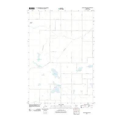
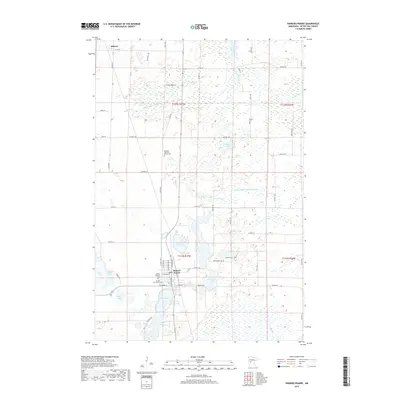
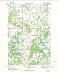 1969 Henning SE1971 Print · USGSSoutheastern Otter Tail County in the late sixties is a landscape of glacial wetlands, wildlife management areas, and intersecting rail lines. Researchers can trace old family plots at Inman Cem or Trinity Cem and locate landmarks like the Northern Pacific railroad and Wing River Lake.
 - 1969 Map of Wrightstown, 1971 Print
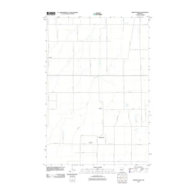
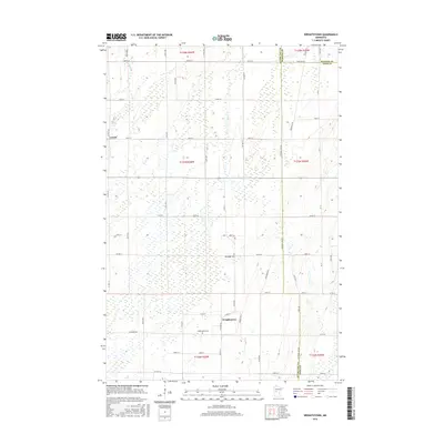
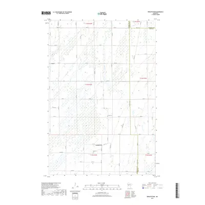
 1969 Wrightstown1971 Print · USGSWrightstown and the surrounding prairies of Otter Tail County are captured here in the late sixties during a period of steady rural life. Genealogists and local researchers can pinpoint the Oak Ridge Cemetery, Union Corner Church, and the winding course of South Bluff Creek.
 - 1969 Map of Eagle Bend NW, 1971 Print
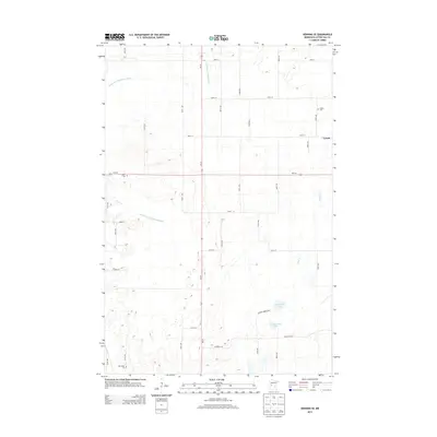
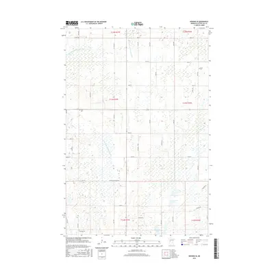
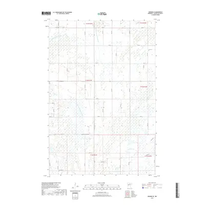
 1969 Eagle Bend NW1971 Print · USGSThe lake-strewn borderlands of Otter Tail and Todd counties are recorded here in the late sixties. Researchers can trace rural landmarks like the local Townhall and cemetery alongside the extensive Eastern Township State Wildlife Management Area.
 - 1969 Map of Parkers Prairie, 1971 Print
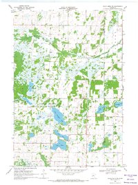
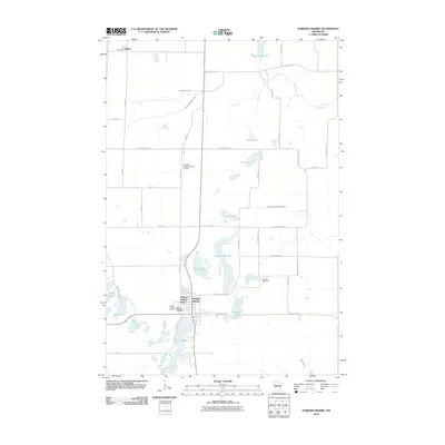
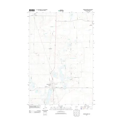
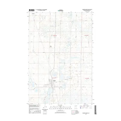
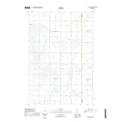
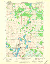 1969 Parkers Prairie1971 Print · USGSOtter Tail County in the late sixties shows a landscape of glacial lakes and prairie settlements organized around the rail line. Genealogists and local historians can locate family plots at St Williams Cem or Swedish Cem and trace the Soo Line through Parkers Prairie.
 - 1986 Map of Battle Lake
 1986 Battle Lake1986 Print · USGSMinnesota's lake-rich glacial heartland is captured in the mid-1980s, showcasing a landscape defined by water and rail. Genealogists and collectors can trace the rural sections around Battle Lake and Parkers Prairie or locate family sites near Otter Tail Lake and Clitherall.2 unique versions available
 - 2010 Map of Henning SE, 2010 Print
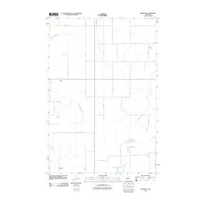 2010 Henning SE2010 Print · USGSCovers Woodside Township, including Compton Township, Elmo Township, and other nearby areas
 - 2010 Map of Eagle Bend NW, 2010 Print
 2010 Eagle Bend NW2010 Print · USGSCovers Woodside Township, including Eastern Township, Otter Tail County, and other nearby areas
 - 2010 Map of Parkers Prairie, 2010 Print
 2010 Parkers Prairie2010 Print · USGSCovers Woodside Township, including Parkers Prairie, Eastern Township, and other nearby areas
 - 2010 Map of Wrightstown, 2010 Print
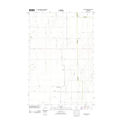
 2010 Wrightstown2010 Print · USGSCovers Woodside Township, including Compton Township, Lyman, and other nearby areas
 - 2013 Map of Henning SE, 2013 Print
 2013 Henning SE2013 Print · USGSCovers Woodside Township, including Compton Township, Elmo Township, and other nearby areas
 - 2013 Map of Parkers Prairie, 2013 Print
 2013 Parkers Prairie2013 Print · USGSCovers Woodside Township, including Parkers Prairie, Eastern Township, and other nearby areas
 - 2013 Map of Wrightstown, 2013 Print
 2013 Wrightstown2013 Print · USGSCovers Woodside Township, including Compton Township, Lyman, and other nearby areas
 - 2013 Map of Eagle Bend NW, 2013 Print
 2013 Eagle Bend NW2013 Print · USGSCovers Woodside Township, including Eastern Township, Otter Tail County, and other nearby areas
 - 2016 Map of Eagle Bend NW, 2016 Print
 2016 Eagle Bend NW2016 Print · USGSCovers Woodside Township, including Eastern Township, Otter Tail County, and other nearby areas
 - 2016 Map of Parkers Prairie, 2016 Print
 2016 Parkers Prairie2016 Print · USGSCovers Woodside Township, including Parkers Prairie, Eastern Township, and other nearby areas
 - 2016 Map of Wrightstown, 2016 Print
 2016 Wrightstown2016 Print · USGSCovers Woodside Township, including Compton Township, Lyman, and other nearby areas
 - 2016 Map of Henning SE, 2016 Print
 2016 Henning SE2016 Print · USGSCovers Woodside Township, including Compton Township, Elmo Township, and other nearby areas
 - 2019 Map of Parkers Prairie, 2019 Print
 2019 Parkers Prairie2019 Print · USGSCovers Woodside Township, including Parkers Prairie, Eastern Township, and other nearby areas
 - 2019 Map of Wrightstown, 2019 Print
 2019 Wrightstown2019 Print · USGSCovers Woodside Township, including Compton Township, Lyman, and other nearby areas
 - 2019 Map of Henning SE, 2019 Print
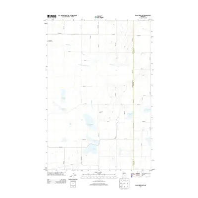
 2019 Henning SE2019 Print · USGSCovers Woodside Township, including Compton Township, Elmo Township, and other nearby areas
 - 2019 Map of Eagle Bend NW, 2019 Print
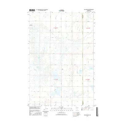
 2019 Eagle Bend NW2019 Print · USGSCovers Woodside Township, including Eastern Township, Otter Tail County, and other nearby areas
Showing maps 1-25 of 29
Top cities near Woodside Township
- Wadena historical maps
- Parkers Prairie historical maps
- Henning historical maps
- Eagle Bend historical maps
- Verndale historical maps
- Bertha historical maps
See more
Top neighborhoods of Woodside Township
Frequently asked questions
- What are the different types of historical maps available for Woodside Township?
- What is the oldest map of Woodside Township?
- Where can I purchase historical maps of Woodside Township for my home or office?
- Where can I download high-res historical maps of Woodside Township?
- Are there historical topographic maps available for Woodside Township?
- Is there historical aerial imagery available for Woodside Township?
- Where are historical maps of Woodside Township sourced from?