2000s (21st Century) Maps of Crosby Township, Minnesota
Explore 12 historic maps of Crosby Township from the 2000s (21st Century). These maps offer a rare glimpse into what life looked like during the 2000s — showing old roads, neighborhoods, homes, and landmarks that have changed or disappeared over time.
Whether you're researching your family's past, planning a metal detecting trip, or studying how Crosby Township's landscape evolved across the 2000s, these high-resolution maps are a powerful tool for exploring the history of this region.
- Focus on a specific era: All maps on this page are from the 2000s, giving you a focused view of this time period.
- See what’s changed: Compare century-old streets, trails, and buildings to today's modern landscape using overlays and satellite layers.
- Research with precision: Use these maps for genealogy, historical research, land use analysis, or educational projects.
- View, download, or print: Maps are fully viewable online in high resolution, and can be downloaded or printed for your own records.
Start exploring Crosby Township's history through authentic maps from the 2000s. This is your window into the past.
Crosby Township, MN maps
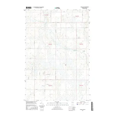
(12)- 2010 Map of Cedar Lake, 2010 Print
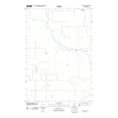 2010 Cedar Lake2010 Print · USGSCovers Crosby Township, including Arlone Township, Chengwatana Township, and other nearby areas
 - 2010 Map of Lake Clayton, 2010 Print
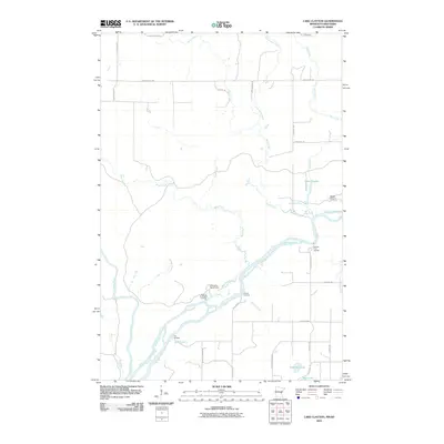 2010 Lake Clayton2010 Print · USGSCovers Crosby Township, including Arlone Township, West Marshland, and other nearby areas
 - 2013 Map of Cedar Lake, 2013 Print
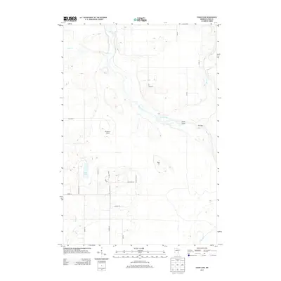 2013 Cedar Lake2013 Print · USGSCovers Crosby Township, including Arlone Township, Chengwatana Township, and other nearby areas
 - 2013 Map of Lake Clayton, 2013 Print
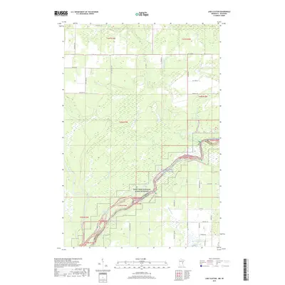
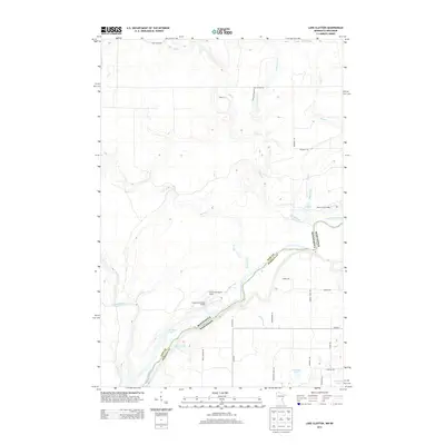 2013 Lake Clayton2013 Print · USGSCovers Crosby Township, including Arlone Township, West Marshland, and other nearby areas
 - 2016 Map of Lake Clayton, 2016 Print
 2016 Lake Clayton2016 Print · USGSCovers Crosby Township, including Arlone Township, West Marshland, and other nearby areas
 - 2016 Map of Cedar Lake, 2016 Print
 2016 Cedar Lake2016 Print · USGSCovers Crosby Township, including Arlone Township, Chengwatana Township, and other nearby areas
 - 2019 Map of Cedar Lake, 2019 Print
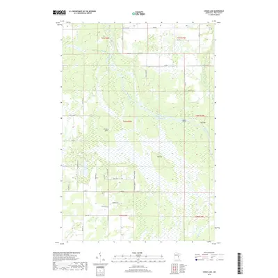 2019 Cedar Lake2019 Print · USGSCovers Crosby Township, including Arlone Township, Chengwatana Township, and other nearby areas
 - 2019 Map of Lake Clayton, 2019 Print
 2019 Lake Clayton2019 Print · USGSCovers Crosby Township, including Arlone Township, West Marshland, and other nearby areas
 - 2022 Map of Monson Lake, 2022 Print
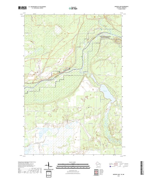 2022 Monson Lake2022 Print · USGSThe Wisconsin-Minnesota border country comes into focus here along the Saint Croix National Scenic Riverway. Genealogists and local historians can locate the Peet Cem and trace the paths of the Clam River and Matthew Lourey State Trl.
 - 2022 Map of Yellow Lake, 2022 Print
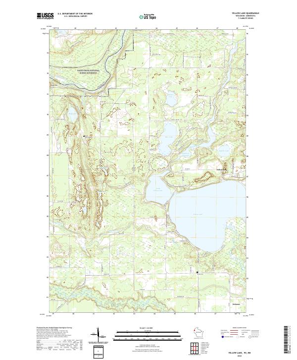 2022 Yellow Lake2022 Print · USGSNorthern Wisconsin lake country and the Minnesota border come alive in this recent survey. Local researchers can trace the shores of Yellow Lake and find ancestral sites at Bluff Lake Cem and Perida Cem.
 - 2022 Map of Cedar Lake, 2022 Print
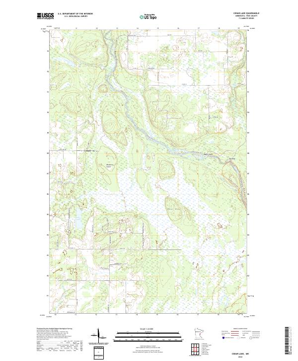 2022 Cedar Lake2022 Print · USGSPine County's river-carved lowlands are captured here in the early twenty-first century as the Kettle River winds through vast wetlands. Local historians can trace the paths of the Matthew Lourey State Trl and find landmarks like Bear Hill and Big Eddy.
 - 2022 Map of Lake Clayton, 2022 Print
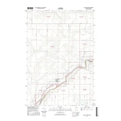
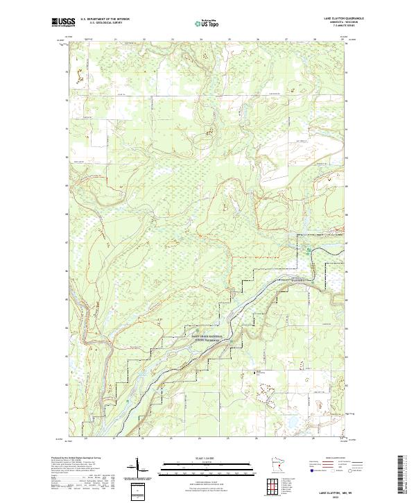 2022 Lake Clayton2022 Print · USGSThe Saint Croix and Kettle rivers converge along the Minnesota and Wisconsin border in this late-twentieth-century study. Genealogists and local historians can locate the Ekdall Community Cem and trace old routes like Nelsons Landing Rd.
End of results
Showing maps 1-12 of 12
Top cities near Crosby Township
- Grantsburg historical maps
- Rock Creek historical maps
- Trade Lake historical maps
- Siren historical maps
- Clam Falls historical maps
Frequently asked questions
- What are the different types of historical maps available for Crosby Township?
- What is the oldest map of Crosby Township?
- Where can I purchase historical maps of Crosby Township for my home or office?
- Where can I download high-res historical maps of Crosby Township?
- Are there historical topographic maps available for Crosby Township?
- Is there historical aerial imagery available for Crosby Township?
- Where are historical maps of Crosby Township sourced from?