2000s (21st Century) Maps of Royalton Township, Minnesota
Explore 20 historic maps of Royalton Township from the 2000s (21st Century). These maps offer a rare glimpse into what life looked like during the 2000s — showing old roads, neighborhoods, homes, and landmarks that have changed or disappeared over time.
Whether you're researching your family's past, planning a metal detecting trip, or studying how Royalton Township's landscape evolved across the 2000s, these high-resolution maps are a powerful tool for exploring the history of this region.
- Focus on a specific era: All maps on this page are from the 2000s, giving you a focused view of this time period.
- See what’s changed: Compare century-old streets, trails, and buildings to today's modern landscape using overlays and satellite layers.
- Research with precision: Use these maps for genealogy, historical research, land use analysis, or educational projects.
- View, download, or print: Maps are fully viewable online in high resolution, and can be downloaded or printed for your own records.
Start exploring Royalton Township's history through authentic maps from the 2000s. This is your window into the past.
Royalton Township, MN maps
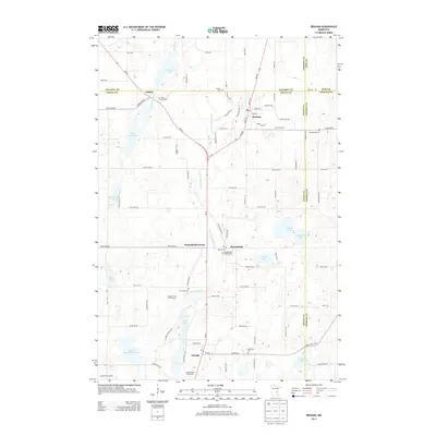
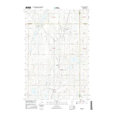
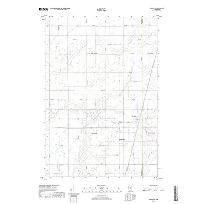
(20)- 2010 Map of Braham, 2010 Print
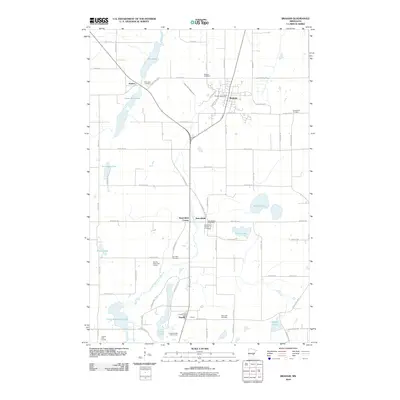 2010 Braham2010 Print · USGSCovers Royalton Township, including Braham, Stanchfield, and other nearby areas
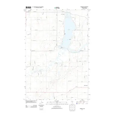
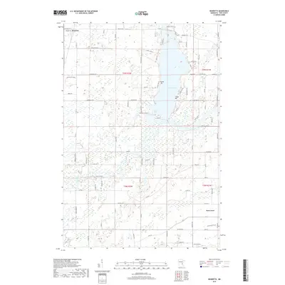
 - 2010 Map of Henriette, 2010 Print
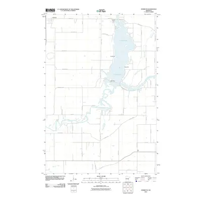 2010 Henriette2010 Print · USGSCovers Royalton Township, including Rock Creek, Henriette, and other nearby areas
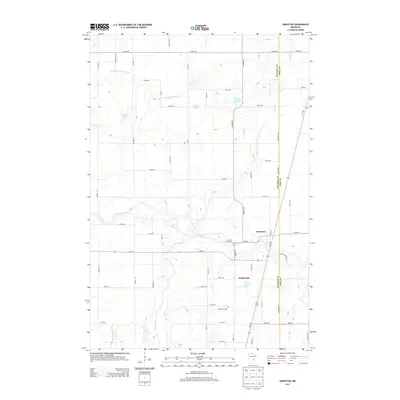
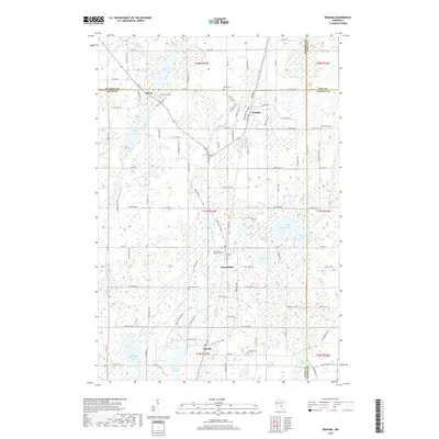
 - 2010 Map of Grasston, 2010 Print
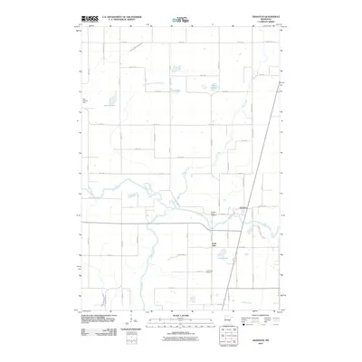 2010 Grasston2010 Print · USGSCovers Royalton Township, including Grass Lake, Grasston, and other nearby areas
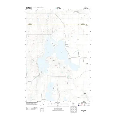
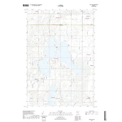
 - 2010 Map of Rush Lake, 2010 Print
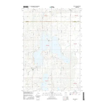
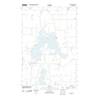 2010 Rush Lake2010 Print · USGSCovers Royalton Township, including Rush City, Rock Creek, and other nearby areas
 - 2013 Map of Braham, 2013 Print
 2013 Braham2013 Print · USGSCovers Royalton Township, including Braham, Stanchfield, and other nearby areas
 - 2013 Map of Henriette, 2013 Print
 2013 Henriette2013 Print · USGSCovers Royalton Township, including Rock Creek, Henriette, and other nearby areas
 - 2013 Map of Grasston, 2013 Print
 2013 Grasston2013 Print · USGSCovers Royalton Township, including Grass Lake, Grasston, and other nearby areas
 - 2013 Map of Rush Lake, 2013 Print
 2013 Rush Lake2013 Print · USGSCovers Royalton Township, including Rush City, Rock Creek, and other nearby areas
 - 2016 Map of Rush Lake, 2016 Print
 2016 Rush Lake2016 Print · USGSCovers Royalton Township, including Rush City, Rock Creek, and other nearby areas
 - 2016 Map of Grasston, 2016 Print
 2016 Grasston2016 Print · USGSCovers Royalton Township, including Grass Lake, Grasston, and other nearby areas
 - 2016 Map of Braham, 2016 Print
 2016 Braham2016 Print · USGSCovers Royalton Township, including Braham, Stanchfield, and other nearby areas
 - 2016 Map of Henriette, 2016 Print
 2016 Henriette2016 Print · USGSCovers Royalton Township, including Rock Creek, Henriette, and other nearby areas
 - 2019 Map of Grasston, 2019 Print
 2019 Grasston2019 Print · USGSCovers Royalton Township, including Grass Lake, Grasston, and other nearby areas
 - 2019 Map of Henriette, 2019 Print
 2019 Henriette2019 Print · USGSCovers Royalton Township, including Rock Creek, Henriette, and other nearby areas
 - 2019 Map of Braham, 2019 Print
 2019 Braham2019 Print · USGSCovers Royalton Township, including Braham, Stanchfield, and other nearby areas
 - 2019 Map of Rush Lake, 2019 Print
 2019 Rush Lake2019 Print · USGSCovers Royalton Township, including Rush City, Rock Creek, and other nearby areas
 - 2022 Map of Braham, 2022 Print
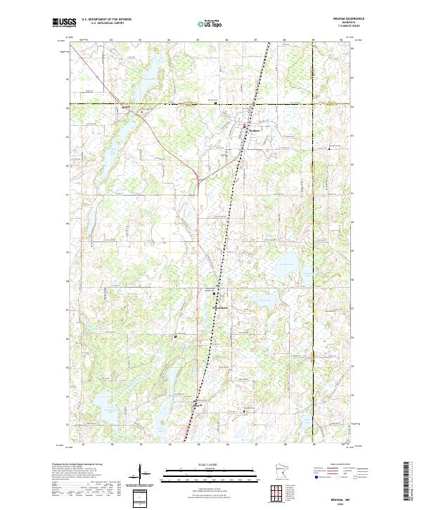 2022 Braham2022 Print · USGSThe borderlands of Isanti and Kanabec counties are captured in this recent survey of eastern Minnesota's lake country. Genealogists can trace family roots through numerous local burial grounds like Rice Lake Cem, Danewood Cem, and the Stanchfield Baptist Cem.
 - 2022 Map of Grasston, 2022 Print
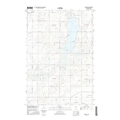
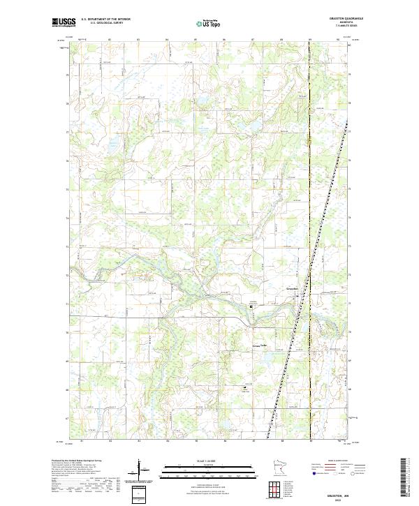 2022 Grasston2022 Print · USGSThe rural landscape near the Kanabec and Pine county line is revealed here in its modern agricultural form. Genealogists and local researchers can locate family sites near Grasston, the Grasston Union Cem, and the wetlands surrounding Grass Lake.
 - 2022 Map of Henriette, 2022 Print
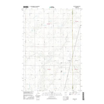
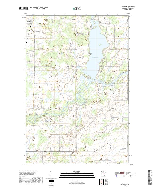 2022 Henriette2022 Print · USGSPine County's lake-and-river landscape is captured here in the early twenty-first century as modern roads navigate old wetlands. Genealogists and local researchers can trace the vicinity of Henriette and Rock Creek or follow the Snake River.
 - 2022 Map of Rush Lake, 2022 Print
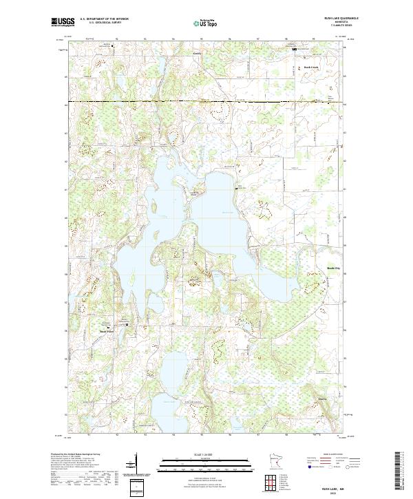 2022 Rush Lake2022 Print · USGSThe Chisago and Pine County borderlands are shown here in the 2020s, a landscape defined by the expansive Rush Lake and rural settlements. Researchers can locate numerous family burial grounds, including Saint Johns Cem and West Rock Cem, alongside local landmarks like Rush Point.
End of results
Showing maps 1-20 of 20
Top cities near Royalton Township
- North Branch historical maps
- Cambridge historical maps
- Mora historical maps
- Pine City historical maps
- Rush City historical maps
- Braham historical maps
See more
Top neighborhoods of Royalton Township
Frequently asked questions
- What are the different types of historical maps available for Royalton Township?
- What is the oldest map of Royalton Township?
- Where can I purchase historical maps of Royalton Township for my home or office?
- Where can I download high-res historical maps of Royalton Township?
- Are there historical topographic maps available for Royalton Township?
- Is there historical aerial imagery available for Royalton Township?
- Where are historical maps of Royalton Township sourced from?