Old Maps of Royalton Township, Minnesota for Academic Research
Study the evolution of Royalton Township with 33 high-resolution historic maps. Whether you're teaching, researching, or modeling changes in land use, these maps provide essential visual documentation of urban, environmental, and geographic change.
- Analyze long-term change: Track patterns in development, transportation, and natural features.
- Ideal for environmental or urban studies: Support academic projects with primary historical map data.
- Use in the classroom or lab: Educators and researchers rely on these maps to bring historical context to life.
These maps are a powerful tool for teaching, research, and visualizing how Royalton Township has changed over the decades.
Royalton Township, MN maps
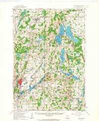
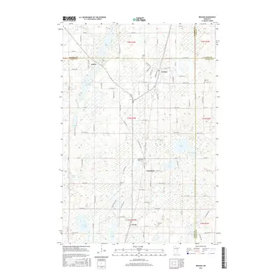
(33)- 1953 Map of Stillwater, 1980 Print
 1953 Stillwater1980 Print · USGSThe Twin Cities and the St. Croix Valley are captured in this mid-century survey as the interstate era began to transform the Upper Midwest. Genealogists and historians can trace the rail-and-river geography of Stillwater, locate landmarks in Anoka, or explore the sprawling St Croix State Park.
 - 1955 Map of Stillwater, 1965 Print
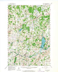
 1955 Stillwater1965 Print · USGSThe Upper St. Croix Valley and the growing Twin Cities area are shown here during the mid-fifties, before the interstate era transformed the regional commute. You can trace the lines of the Northern Pacific RR through towns like Rush City or locate the Saint Croix Indian Reservation.
 - 1958 Map of Stillwater
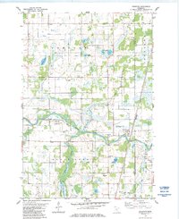
 1958 Stillwater1958 Print · USGSThe Upper Mississippi and St. Croix River valleys appear in the mid-fifties as the Twin Cities expanded north. Genealogists can locate family landmarks like Oak Park Cem, Saint Michael Church, and the Soo Line RR rail corridors.2 unique versions available
 - 1961 Map of Cambridge, 1963 Print
 1961 Cambridge1963 Print · USGSThe lake country of Isanti and Chisago Counties is shown here in the early sixties as it balanced agricultural roots with new institutional growth. Researchers can trace the Great Northern rail line connecting Braham and Cambridge, or locate vanished landmarks like Minnesota Boys Town and the Oak Leaf Grange Hall.
 - 1961 Map of Brook Park, 1963 Print
 1961 Brook Park1963 Print · USGSSettlements along the Great Northern railroad thrived in the early sixties as they served this stretch of Pine and Kanabec counties. Genealogists and historians can trace family locations near the Brook Park Cem, Grasston, and the St Gerard Mission House.2 unique versions available
 - 1965 Map of Stillwater
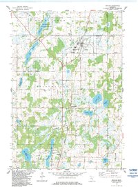
 1965 Stillwater1965 Print · USGSThe Twin Cities and the St. Croix Valley are mapped here during a period of significant post-war growth and industrial transit. Genealogists and historians can trace rail lines like the Northern Pacific RR through towns such as Rush City, Amery, and Balsam Lake.
 - 1975 Map of Stillwater
 1975 Stillwater1975 Print · USGSThe Twin Cities and the St. Croix Valley are captured in the mid-seventies, showing the urban growth of Minneapolis and St Paul. Researchers can trace old rail corridors of the Northern Pacific RR and locate tribal lands at the Mille Lacs Indian Reservation.2 unique versions available
 - 1983 Map of Grasston, 1984 Print
 1983 Grasston1984 Print · USGSEastern Kanabec and Pine counties are documented here in the early eighties as the railroad still anchored the community of Grasston. Family historians can locate specific burial sites at Grasston Union Cem and Grass Lake Cem or trace the winding Snake River.2 unique versions available
 - 1983 Map of Braham, 1984 Print
 1983 Braham1984 Print · USGSBraham and the surrounding Isanti County wetlands are captured here in the early eighties as the rail-linked settlements of the Rum River valley continued to thrive. Researchers can find old community sites like Stanchfield Corner, family-named cemeteries such as Danewood Cem, and the Burlington Northern rail line.
 - 1983 Map of Henriette, 1984 Print
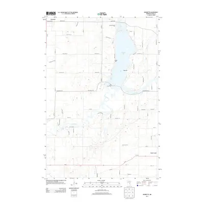
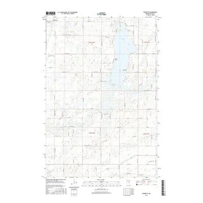
 1983 Henriette1984 Print · USGSThe waters of Pokegama Lake and the Snake River define this Pine County landscape during the early 1980s. Local researchers can locate the Fur Post Historic Site, trace the Burlington Northern line through Henriette, and identify family landmarks like Tuxedo Bar.2 unique versions available
 - 1983 Map of Rush Lake, 1984 Print
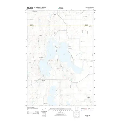
 1983 Rush Lake1984 Print · USGSChisago County's lake country is captured here in the early eighties, showing a landscape defined by water and rural settlement. Genealogists can trace family footprints at Rush Point, Harris, or several local landmarks like Rush Lake Ch and St Johns Cem.2 unique versions available
 - 1985 Map of Mora
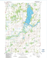
 1985 Mora1985 Print · USGSCentral Minnesota's river valleys and farming hubs are captured here in the mid-eighties, showing the region before significant modern expansion. Researchers can trace historic rail lines like the Burlington Northern and locate community landmarks in Mora, Milaca, and Princeton.
 - 1991 Map of Mora
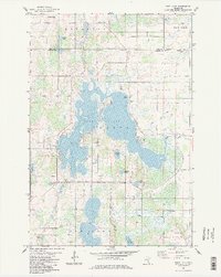
 1991 Mora1991 Print · USGSThe Rum River valley and central Minnesota lakelands are shown in great detail in the early 1990s. Genealogists and local historians can trace rural school locations, family cemeteries, and local landmarks like St. Marys Ch or the Municipal Airport in Mora.
 - 2010 Map of Braham, 2010 Print
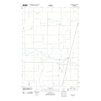
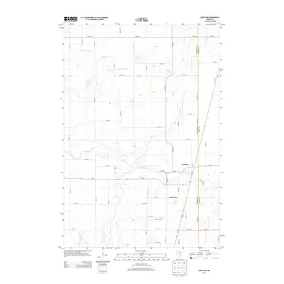
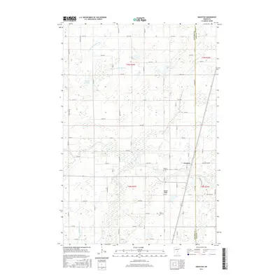
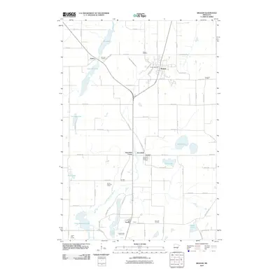 2010 Braham2010 Print · USGSCovers Royalton Township, including Braham, Stanchfield, and other nearby areas
 - 2010 Map of Henriette, 2010 Print
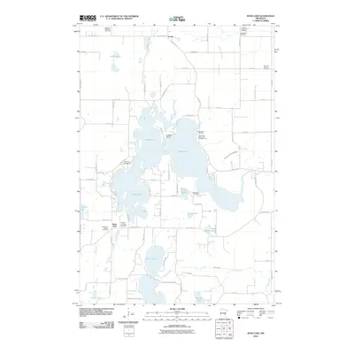
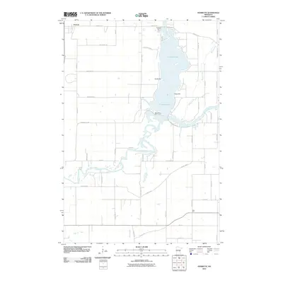 2010 Henriette2010 Print · USGSCovers Royalton Township, including Rock Creek, Henriette, and other nearby areas
 - 2010 Map of Grasston, 2010 Print
 2010 Grasston2010 Print · USGSCovers Royalton Township, including Grass Lake, Grasston, and other nearby areas
 - 2010 Map of Rush Lake, 2010 Print
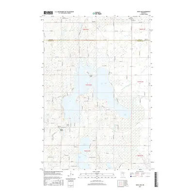
 2010 Rush Lake2010 Print · USGSCovers Royalton Township, including Rush City, Rock Creek, and other nearby areas
 - 2013 Map of Braham, 2013 Print
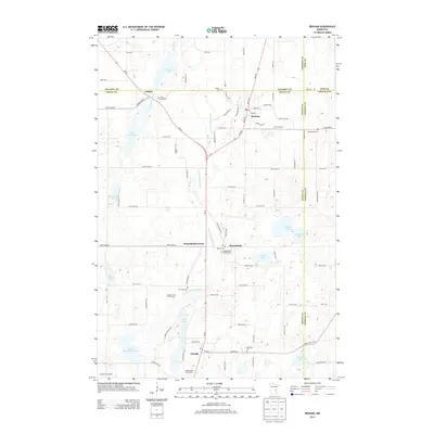 2013 Braham2013 Print · USGSCovers Royalton Township, including Braham, Stanchfield, and other nearby areas
 - 2013 Map of Henriette, 2013 Print
 2013 Henriette2013 Print · USGSCovers Royalton Township, including Rock Creek, Henriette, and other nearby areas
 - 2013 Map of Grasston, 2013 Print
 2013 Grasston2013 Print · USGSCovers Royalton Township, including Grass Lake, Grasston, and other nearby areas
 - 2013 Map of Rush Lake, 2013 Print
 2013 Rush Lake2013 Print · USGSCovers Royalton Township, including Rush City, Rock Creek, and other nearby areas
 - 2016 Map of Rush Lake, 2016 Print
 2016 Rush Lake2016 Print · USGSCovers Royalton Township, including Rush City, Rock Creek, and other nearby areas
 - 2016 Map of Grasston, 2016 Print
 2016 Grasston2016 Print · USGSCovers Royalton Township, including Grass Lake, Grasston, and other nearby areas
 - 2016 Map of Braham, 2016 Print
 2016 Braham2016 Print · USGSCovers Royalton Township, including Braham, Stanchfield, and other nearby areas
 - 2016 Map of Henriette, 2016 Print
 2016 Henriette2016 Print · USGSCovers Royalton Township, including Rock Creek, Henriette, and other nearby areas
Showing maps 1-25 of 33
Top cities near Royalton Township
- North Branch historical maps
- Cambridge historical maps
- Mora historical maps
- Pine City historical maps
- Rush City historical maps
- Braham historical maps
See more
Top neighborhoods of Royalton Township
Frequently asked questions
- What are the different types of historical maps available for Royalton Township?
- What is the oldest map of Royalton Township?
- Where can I purchase historical maps of Royalton Township for my home or office?
- Where can I download high-res historical maps of Royalton Township?
- Are there historical topographic maps available for Royalton Township?
- Is there historical aerial imagery available for Royalton Township?
- Where are historical maps of Royalton Township sourced from?