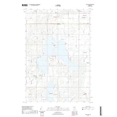
2019 Map of Rush Lake
USGS Topo · Published 2019About this map
The sprawling waters of Rush Lake dominate this 2019 survey, defining the geography of the border between Pine and Chisago counties. The central lake is punctuated by La Belle Island, while the surrounding landscape is a complex network of smaller water bodies including Leech Lake, Round Lake, and Goose Lake, which is notable for the narrow passage of the Goose Lake Narrows. Settlement patterns are concentrated around the eastern edge at Rush City and the northern cluster at Rock Creek, while smaller communities like Rush Point and Greely anchor the western and northern reaches.
Find a feature on this map
68 named features on this map. Tap any name to fly to it.
Don’t see what you’re looking for? This feature index may not catch every label — zoom into the map to look around manually.
Map Details
Editions of this 2019 Rush Lake Map
This is the sole edition of this map. No revisions or reprints were ever made.
Other maps of this area

1950 · Rush City
USGS Topo · 1:48,000

1953 · Stillwater
USGS Topo · 1:250,000

1955 · Rush City
USGS Topo · 1:62,500

1955 · Stillwater
USGS Topo · 1:250,000

1958 · Stillwater
USGS Topo · 1:250,000

1961 · Cambridge
USGS Topo · 1:62,500

1961 · Brook Park
USGS Topo · 1:62,500

1961 · Pine City
USGS Topo · 1:62,500

1965 · Stillwater
USGS Topo · 1:250,000

1975 · Stillwater
USGS Topo · 1:250,000