Old Maps of Fertile, Minnesota for Academic Research
Study the evolution of Fertile with 10 high-resolution historic maps. Whether you're teaching, researching, or modeling changes in land use, these maps provide essential visual documentation of urban, environmental, and geographic change.
- Analyze long-term change: Track patterns in development, transportation, and natural features.
- Ideal for environmental or urban studies: Support academic projects with primary historical map data.
- Use in the classroom or lab: Educators and researchers rely on these maps to bring historical context to life.
These maps are a powerful tool for teaching, research, and visualizing how Fertile has changed over the decades.
Fertile, MN maps
(10)- 1952 Map of Grand Forks, 1967 Print
 1952 Grand Forks1967 Print · USGSThe Red River Valley in the early fifties is shown here at the height of its rail-and-river agricultural economy. Researchers can locate small-town landmarks like the Pleasant View School, the Immanuel Lutheran Church, and trace the path of the Soo Line Railroad.3 unique versions available
 - 1956 Map of Grand Forks
 1956 Grand Forks1956 Print · USGSThe Red River Valley in the mid-fifties is captured here as a thriving corridor of grain elevators and rail-linked towns along the North Dakota and Minnesota border. Researchers can trace historic church sites like Immanuel Lutheran Church, vanished rail stops at Tilde Junction, and the boundaries of the White Earth Indian Reservation.
 - 1965 Map of Fertile, 1966 Print
 1965 Fertile1966 Print · USGSFertile and the surrounding Polk County townships are shown here in the mid-1960s, a time of steady agricultural and rail activity. Researchers can trace local lineage at St Josephs Cem, follow the Sand Hill River's course, or locate the old Townhall.
 - 1966 Map of Grand Forks
 1966 Grand Forks1966 Print · USGSThe Red River Valley in the mid-sixties shows a landscape shaped by rail-line commerce and complex water management. Genealogists and historians can trace rail-side towns like Emerado and Hunter or locate rural landmarks like the Pleasant View Church.
 - 1984 Map of Crookston, 1985 Print
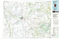 1984 Crookston1985 Print · USGSNorthwest Minnesota at the peak of the mid-eighties reveals a landscape of fertile valley plains and conservation lands tied together by rail. Genealogists and historians can trace the local rail networks of the Soo Line Railroad and Burlington Northern Railroad through regional hubs like Crookston and Red Lake Falls.2 unique versions available
 - 2010 Map of Fertile, 2010 Print
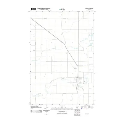 2010 Fertile2010 Print · USGSFertile and the surrounding Polk County prairie are captured here in the early twenty-first century, centered on the winding Sand Hill River. Researchers can locate several distinct burial grounds including Varnes Lutheran Cemetery and trace the paths of the historic Pembina Trl.
 - 2013 Map of Fertile, 2013 Print
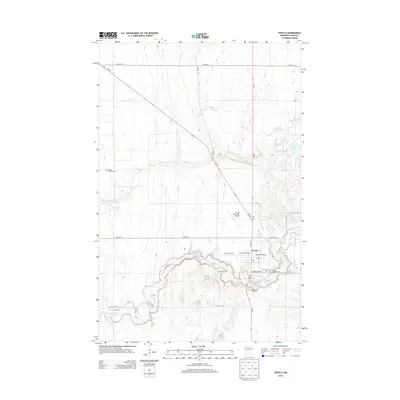 2013 Fertile2013 Print · USGSFertile and its surrounding Polk County farmland are documented here in the early twenty-first century as the town sits along the winding Sand Hill River. Researchers can locate several historic burial grounds including Varnes Lutheran Cem and Pleasant Hill Cem, or trace the path of the Pembina Trl.
 - 2016 Map of Fertile, 2016 Print
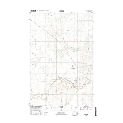 2016 Fertile2016 Print · USGSFertile and the surrounding Polk County prairie are shown here in the mid-2010s as the Sand Hill River meanders through the farmland. Local historians can trace the diagonal path of the Pembina Trl and locate family sites at Pleasant Hill Cem or Concordia Cem.
 - 2019 Map of Fertile, 2019 Print
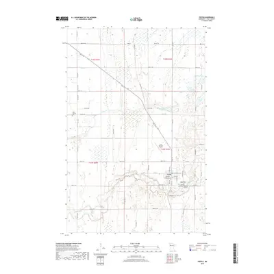 2019 Fertile2019 Print · USGSFertile and the surrounding Polk County prairie are shown here in the late 2010s, centered on the bend of the Sand Hill River. Genealogists can trace several local burial sites like Varnes Lutheran Cem and Concordia Cem, while outdoor researchers can locate Cheese Brown Lake and the historic Agassiz Trail.
 - 2022 Map of Fertile, 2022 Print
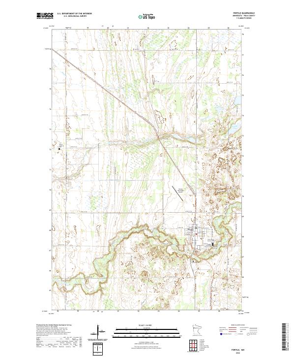 2022 Fertile2022 Print · USGSThe town of Fertile and its surrounding prairies are documented here in recent years as the landscape continues to center on the Sand Hill River. Genealogists and historians can locate numerous local landmarks including Concordia East Cem, Varnes Lutheran Cem, and the path of the Pembina Trl.
End of results
Showing maps 1-10 of 10
Top cities near Fertile
- Gary historical maps
- Mentor historical maps
- Waukon historical maps
- Sundal historical maps
- Beltrami historical maps
Top neighborhoods of Fertile
Frequently asked questions
- What are the different types of historical maps available for Fertile?
- What is the oldest map of Fertile?
- Where can I purchase historical maps of Fertile for my home or office?
- Where can I download high-res historical maps of Fertile?
- Are there historical topographic maps available for Fertile?
- Is there historical aerial imagery available for Fertile?
- Where are historical maps of Fertile sourced from?