Old Maps of Dorothy, Minnesota for Academic Research
Study the evolution of Dorothy with 12 high-resolution historic maps. Whether you're teaching, researching, or modeling changes in land use, these maps provide essential visual documentation of urban, environmental, and geographic change.
- Analyze long-term change: Track patterns in development, transportation, and natural features.
- Ideal for environmental or urban studies: Support academic projects with primary historical map data.
- Use in the classroom or lab: Educators and researchers rely on these maps to bring historical context to life.
These maps are a powerful tool for teaching, research, and visualizing how Dorothy has changed over the decades.
Dorothy, MN maps
(12)- 1918 Map of Red Lake Falls
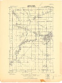 1918 Red Lake Falls1918 Print · USGSRed Lake County and eastern Polk County are captured here during the first World War as the regional rail network neared its peak. Researchers can trace the early footprints of Red Lake Falls, the winding Red Lake River, and smaller stops like Huot and Gentilly.
 - 1952 Map of Red Lake Falls, 1954 Print
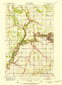 1952 Red Lake Falls1954 Print · USGSRed Lake Falls and the surrounding fertile prairies are shown here in the early fifties, just as the local rail-and-river economy was shifting. Genealogists can trace family footprints through numerous rural landmarks like Evangelical Ch, Marcoux Corners, and the Prairie Queen Sch.
 - 1952 Map of Grand Forks, 1967 Print
 1952 Grand Forks1967 Print · USGSThe Red River Valley in the early fifties is shown here at the height of its rail-and-river agricultural economy. Researchers can locate small-town landmarks like the Pleasant View School, the Immanuel Lutheran Church, and trace the path of the Soo Line Railroad.3 unique versions available
 - 1956 Map of Grand Forks
 1956 Grand Forks1956 Print · USGSThe Red River Valley in the mid-fifties is captured here as a thriving corridor of grain elevators and rail-linked towns along the North Dakota and Minnesota border. Researchers can trace historic church sites like Immanuel Lutheran Church, vanished rail stops at Tilde Junction, and the boundaries of the White Earth Indian Reservation.
 - 1966 Map of Grand Forks
 1966 Grand Forks1966 Print · USGSThe Red River Valley in the mid-sixties shows a landscape shaped by rail-line commerce and complex water management. Genealogists and historians can trace rail-side towns like Emerado and Hunter or locate rural landmarks like the Pleasant View Church.
 - 1982 Map of Dorothy
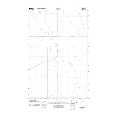
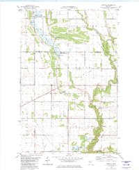 1982 Dorothy1982 Print · USGSNorthern Minnesota's prairie and wetlands are mapped here in the early eighties, revealing the small communities of Dorothy and Wylie. Genealogists and historians can trace the Old Railroad Grade and local landmarks like St Dorothys Ch and several gravel pits.
 - 1984 Map of Crookston, 1985 Print
 1984 Crookston1985 Print · USGSNorthwest Minnesota at the peak of the mid-eighties reveals a landscape of fertile valley plains and conservation lands tied together by rail. Genealogists and historians can trace the local rail networks of the Soo Line Railroad and Burlington Northern Railroad through regional hubs like Crookston and Red Lake Falls.2 unique versions available
 - 2010 Map of Dorothy, 2010 Print
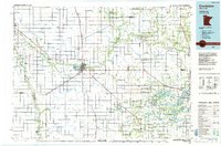
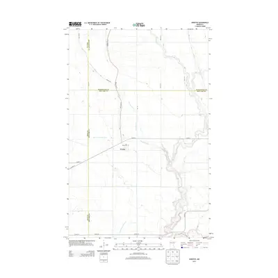
 2010 Dorothy2010 Print · USGSCovers Dorothy, including Polk County, Pennington County, and other nearby areas
 - 2013 Map of Dorothy, 2013 Print
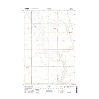
 2013 Dorothy2013 Print · USGSCovers Dorothy, including Polk County, Pennington County, and other nearby areas
 - 2016 Map of Dorothy, 2016 Print
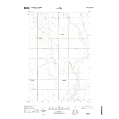
 2016 Dorothy2016 Print · USGSCovers Dorothy, including Polk County, Pennington County, and other nearby areas
 - 2019 Map of Dorothy, 2019 Print
 2019 Dorothy2019 Print · USGSCovers Dorothy, including Polk County, Pennington County, and other nearby areas
 - 2022 Map of Dorothy, 2022 Print
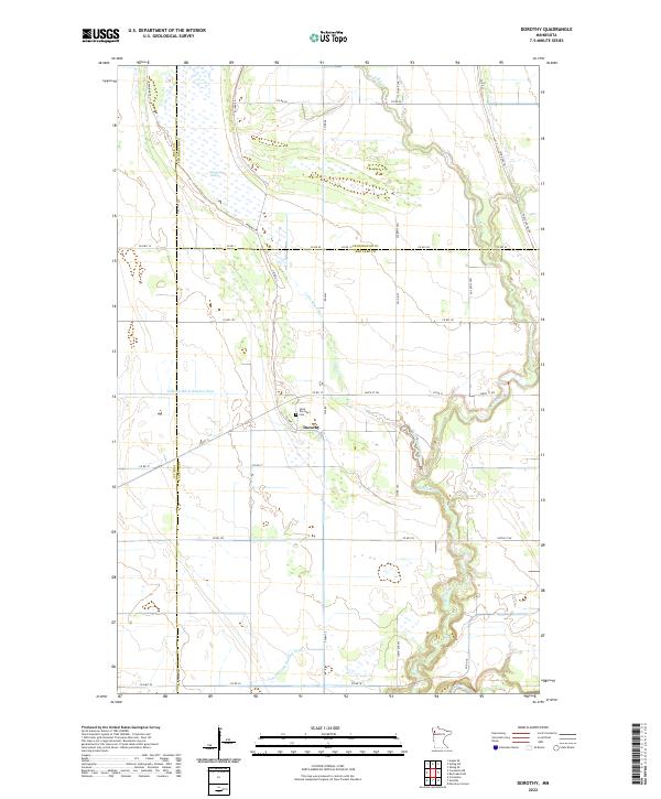 2022 Dorothy2022 Print · USGSRed Lake County and its neighbors come alive in this contemporary record of a persistent prairie landscape. Family historians can locate Saint Dorothy's Cem near Dorothy or trace the historic Pembina Trl across the agricultural plains.
End of results
Showing maps 1-12 of 12
Top cities near Dorothy
- Crookston historical maps
- Red Lake Falls historical maps
- Gentilly historical maps
- Euclid historical maps
- Wylie historical maps
Frequently asked questions
- What are the different types of historical maps available for Dorothy?
- What is the oldest map of Dorothy?
- Where can I purchase historical maps of Dorothy for my home or office?
- Where can I download high-res historical maps of Dorothy?
- Are there historical topographic maps available for Dorothy?
- Is there historical aerial imagery available for Dorothy?
- Where are historical maps of Dorothy sourced from?