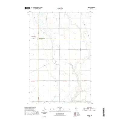
2019 Map of Dorothy
USGS Topo · Published 2019About this map
Dorothy serves as the central hub of this Red Lake County survey, situated near the winding course of the Little Black River. This prairie landscape is defined by its agricultural grid and a sophisticated network of drainage systems, including Judicial Ditch Number Sixty and Lateral Ditch Number Four, which manage the low-lying terrain. The map records the historic path of the Pembina Trl, an early oxcart route that once connected the Red River Valley to trade centers. Local heritage is grounded at Saint Dorothy's Cem, while the natural character of the land remains visible in the Gouge Lake Swamp and the northern reaches of the Black River. The boundary between Pennington, Red Lake, and Polk counties intersects here, illustrating how these administrative lines follow the township and range system across the northwestern Minnesota plains.
Find a feature on this map
38 named features on this map. Tap any name to fly to it.
Don’t see what you’re looking for? This feature index may not catch every label — zoom into the map to look around manually.
Map Details
Editions of this 2019 Dorothy Map
This is the sole edition of this map. No revisions or reprints were ever made.
Other maps of this area
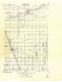
1918 · Angus
USGS Topo · 1:62,500
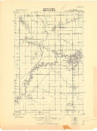
1918 · Red Lake Falls
USGS Topo · 1:62,500
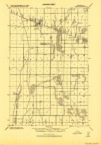
1918 · Viking
USGS Topo · 1:62,500
1952 · Red Lake Falls
USGS Topo · 1:62,500

1952 · Grand Forks
USGS Topo · 1:250,000

1952 · Thief River Falls
USGS Topo · 1:250,000
1953 · Crookston
USGS Topo · 1:62,500

1956 · Thief River Falls
USGS Topo · 1:250,000

1956 · Grand Forks
USGS Topo · 1:250,000

1957 · Thief River Falls
USGS Topo · 1:250,000