Old Maps of Gilfillan, Minnesota for Academic Research
Study the evolution of Gilfillan with 13 high-resolution historic maps. Whether you're teaching, researching, or modeling changes in land use, these maps provide essential visual documentation of urban, environmental, and geographic change.
- Analyze long-term change: Track patterns in development, transportation, and natural features.
- Ideal for environmental or urban studies: Support academic projects with primary historical map data.
- Use in the classroom or lab: Educators and researchers rely on these maps to bring historical context to life.
These maps are a powerful tool for teaching, research, and visualizing how Gilfillan has changed over the decades.
Gilfillan, MN maps
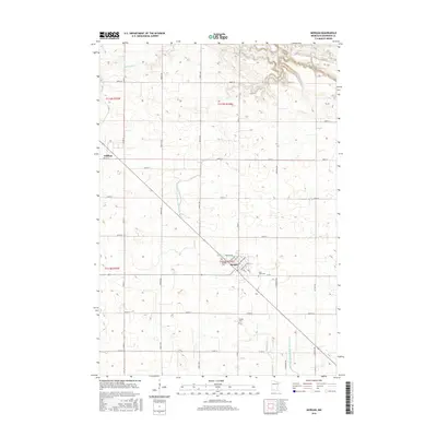
(13)- 1953 Map of Morgan, 1955 Print
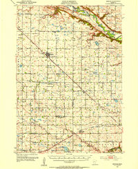 1953 Morgan1955 Print · USGSRedwood and Brown Counties are shown at their agricultural peak in the early fifties, anchored by the rail hub at Morgan. Genealogists and historians can trace dozens of rural schoolhouses and country churches like Brookville Church or Immanuel Church.
 - 1953 Map of New Ulm, 1968 Print
 1953 New Ulm1968 Print · USGSSouthern Minnesota in the mid-1950s is defined by its deep river valleys and the expanding reach of the Great Northern and Chicago and North Western railroads. Researchers can trace rural lineages through landmarks like the Milford State Monument, St. John's Ch, and the Upper Sioux Indian Res.3 unique versions available
 - 1957 Map of New Ulm
 1957 New Ulm1957 Print · USGSCentral Minnesota in the mid-fifties remains a landscape of river-valley commerce and prairie agriculture defined by its historic mission sites and rail towns. Genealogists and local historians can trace the development of New Ulm and Montevideo, or locate specific landmarks like the Milford State Monument and Minnesota Falls.
 - 1958 Map of New Ulm
 1958 New Ulm1958 Print · USGSSouth-central Minnesota’s river valleys and prairie towns are captured here in the mid-fifties, during the height of the region's rail-and-river economy. Genealogists and historians can trace the legacy of the Upper Sioux Indian Mission or locate early rail stops along the Chicago and North Western Ry in towns like Redwood Falls and Glencoe.
 - 1967 Map of New Ulm
 1967 New Ulm1967 Print · USGSSouthern Minnesota in the mid-fifties is captured here as a landscape of river-valley missions and busy prairie rail towns. Researchers can trace the Yellow Medicine Trail and locate historic sites like the Morton Indian Mission and Milford State Monument.
 - 1983 Map of Morgan
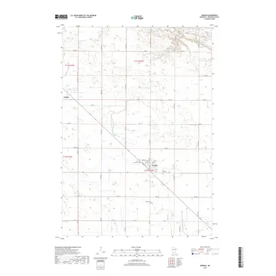
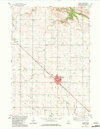 1983 Morgan1983 Print · USGSThe area around Morgan in the early 1980s reveals a highly organized agricultural landscape shaped by rail transport and water management. Researchers can trace the Old Indian Treaty Boundary and locate family landmarks like St Michael Cem and the Chicago and North Western line.
 - 1986 Map of New Ulm
 1986 New Ulm1986 Print · USGSSouthern Minnesota's river valleys and prairie townships are captured here in the mid-1980s, showcasing a landscape defined by agriculture and transit. Researchers can trace the Chicago and North Western rail lines through historic grain-stop towns like Sleepy Eye, Hanska, and Good Thunder.
 - 1991 Map of New Ulm
 1991 New Ulm1991 Print · USGSThe Minnesota River valley serves as the backbone for this late-century look at the agricultural heartland between New Ulm and Mankato. Researchers can trace the layout of traditional prairie towns like Sleepy Eye and Madelia or explore recreation sites at Fort Ridgely State Park.
 - 2010 Map of Morgan, 2010 Print
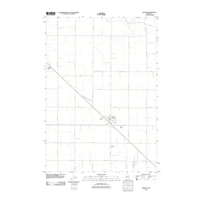 2010 Morgan2010 Print · USGSCovers Gilfillan, including Morgan, Redwood County, and other nearby areas
 - 2013 Map of Morgan, 2013 Print
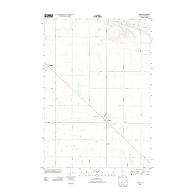 2013 Morgan2013 Print · USGSCovers Gilfillan, including Morgan, Redwood County, and other nearby areas
 - 2016 Map of Morgan, 2016 Print
 2016 Morgan2016 Print · USGSCovers Gilfillan, including Morgan, Redwood County, and other nearby areas
 - 2019 Map of Morgan, 2019 Print
 2019 Morgan2019 Print · USGSCovers Gilfillan, including Morgan, Redwood County, and other nearby areas
 - 2022 Map of Morgan, 2022 Print
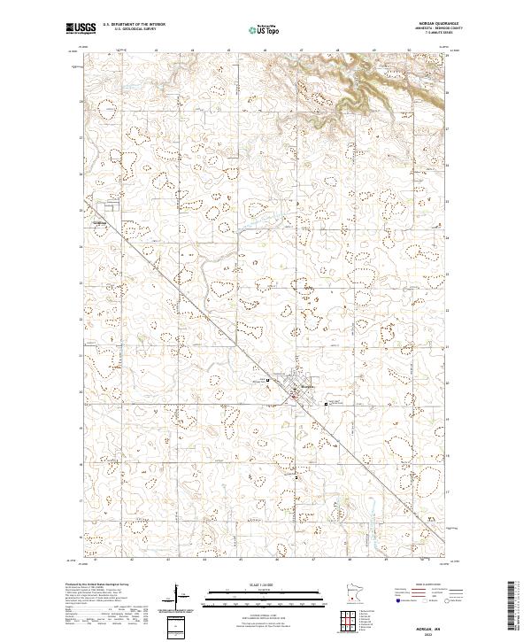 2022 Morgan2022 Print · USGSThe Redwood County prairie comes into focus in this recent survey of Morgan and the surrounding farmlands. Family historians can locate Saint Michael Cem and Saint Johns Lutheran Cem, or trace the intricate paths of Wabasha Cr.
End of results
Showing maps 1-13 of 13
Top cities near Gilfillan
- Redwood Falls historical maps
- Springfield historical maps
- Morgan historical maps
- Franklin historical maps
- Morton historical maps
- Beaver Falls historical maps
See more
Frequently asked questions
- What are the different types of historical maps available for Gilfillan?
- What is the oldest map of Gilfillan?
- Where can I purchase historical maps of Gilfillan for my home or office?
- Where can I download high-res historical maps of Gilfillan?
- Are there historical topographic maps available for Gilfillan?
- Is there historical aerial imagery available for Gilfillan?
- Where are historical maps of Gilfillan sourced from?