2020s Maps of Franklin, Minnesota
Explore 2 historic maps of Franklin from the 2020s. These maps offer a rare glimpse into what life looked like during the 2020s — showing old roads, neighborhoods, homes, and landmarks that have changed or disappeared over time.
Whether you're researching your family's past, planning a metal detecting trip, or studying how Franklin's landscape evolved across the 2020s, these high-resolution maps are a powerful tool for exploring the history of this region.
- Focus on a specific era: All maps on this page are from the 2020s, giving you a focused view of this time period.
- See what’s changed: Compare century-old streets, trails, and buildings to today's modern landscape using overlays and satellite layers.
- Research with precision: Use these maps for genealogy, historical research, land use analysis, or educational projects.
- View, download, or print: Maps are fully viewable online in high resolution, and can be downloaded or printed for your own records.
Start exploring Franklin's history through authentic maps from the 2020s. This is your window into the past.
Franklin, MN maps
(2)- 2022 Map of Morton SE, 2022 Print
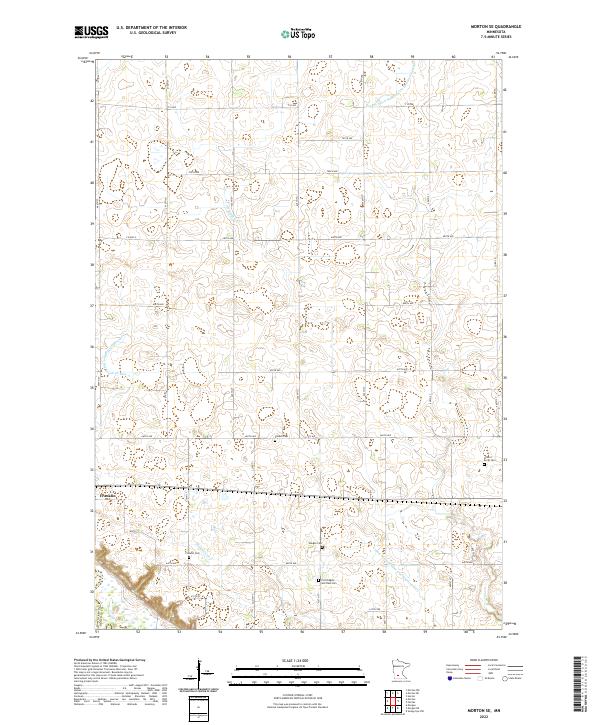 2022 Morton SE2022 Print · USGSThe Renville County prairie is captured here in its modern agricultural character, centered on the settlement of Franklin. Researchers can trace local heritage through several burial grounds including Finnish Cemetery and Fort Ridgely and Dale Cemetery.
 - 2022 Map of Morton, 2022 Print
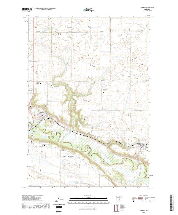 2022 Morton2022 Print · USGSThe Minnesota River valley and its high bluffs define this Renville County landscape in the early twenty-first century. Family historians can trace rare memorial markers like the Andrew Robertson Grave or visit the Patten Pioneer Cem and Morton Cem.
End of results
Showing maps 1-2 of 2
Top cities near Franklin
- Redwood Falls historical maps
- Sleepy Eye historical maps
- Fairfax historical maps
- Bird Island historical maps
- Hector historical maps
- Morgan historical maps
See more
Frequently asked questions
- What are the different types of historical maps available for Franklin?
- What is the oldest map of Franklin?
- Where can I purchase historical maps of Franklin for my home or office?
- Where can I download high-res historical maps of Franklin?
- Are there historical topographic maps available for Franklin?
- Is there historical aerial imagery available for Franklin?
- Where are historical maps of Franklin sourced from?