Old Maps of Franklin, Minnesota for Academic Research
Study the evolution of Franklin with 19 high-resolution historic maps. Whether you're teaching, researching, or modeling changes in land use, these maps provide essential visual documentation of urban, environmental, and geographic change.
- Analyze long-term change: Track patterns in development, transportation, and natural features.
- Ideal for environmental or urban studies: Support academic projects with primary historical map data.
- Use in the classroom or lab: Educators and researchers rely on these maps to bring historical context to life.
These maps are a powerful tool for teaching, research, and visualizing how Franklin has changed over the decades.
Franklin, MN maps
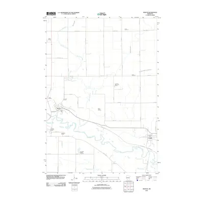
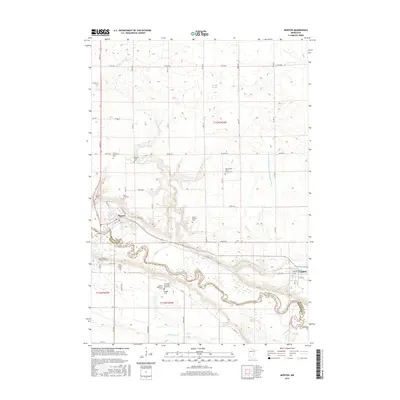
(19)- 1952 Map of Morton, 1954 Print
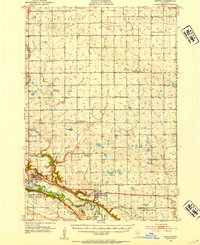 1952 Morton1954 Print · USGSRenville County farmland meets the deep Minnesota River valley in the early fifties, showing a landscape shaped by granite quarrying and river transport. Researchers can locate numerous country schools and churches like Swedlanda Ch, the Lower Sioux Indian Community, and the grounds of Fort Ridgely.2 unique versions available
 - 1953 Map of New Ulm, 1968 Print
 1953 New Ulm1968 Print · USGSSouthern Minnesota in the mid-1950s is defined by its deep river valleys and the expanding reach of the Great Northern and Chicago and North Western railroads. Researchers can trace rural lineages through landmarks like the Milford State Monument, St. John's Ch, and the Upper Sioux Indian Res.3 unique versions available
 - 1957 Map of New Ulm
 1957 New Ulm1957 Print · USGSCentral Minnesota in the mid-fifties remains a landscape of river-valley commerce and prairie agriculture defined by its historic mission sites and rail towns. Genealogists and local historians can trace the development of New Ulm and Montevideo, or locate specific landmarks like the Milford State Monument and Minnesota Falls.
 - 1958 Map of New Ulm
 1958 New Ulm1958 Print · USGSSouth-central Minnesota’s river valleys and prairie towns are captured here in the mid-fifties, during the height of the region's rail-and-river economy. Genealogists and historians can trace the legacy of the Upper Sioux Indian Mission or locate early rail stops along the Chicago and North Western Ry in towns like Redwood Falls and Glencoe.
 - 1967 Map of New Ulm
 1967 New Ulm1967 Print · USGSSouthern Minnesota in the mid-fifties is captured here as a landscape of river-valley missions and busy prairie rail towns. Researchers can trace the Yellow Medicine Trail and locate historic sites like the Morton Indian Mission and Milford State Monument.
 - 1983 Map of Morton
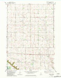
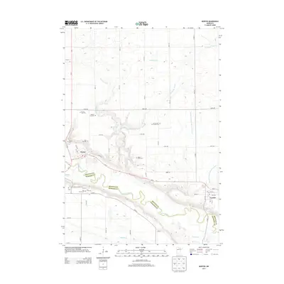
 1983 Morton1983 Print · USGSRenville and Redwood counties meet along the river valley in the early 1980s, where agriculture and history intersect. Genealogists and historians can locate several family burial grounds like St Patrick Cem and trace landmarks such as the Birch Coulee Battlefield Historic Site.
 - 1983 Map of Morton SE
 1983 Morton SE1983 Print · USGSRenville County farmland and the Minnesota River valley are captured here in the early eighties, showing a landscape shaped by drainage and rail. Researchers can trace local heritage through numerous burial sites like Finnish Cem and the Chicago and North Western line.
 - 1986 Map of Glencoe
 1986 Glencoe1986 Print · USGSThe south-central Minnesota prairie and its glacial lake basins are captured here in the mid-1980s, showcasing a landscape of intensive farming and conservation. Genealogists can locate family-named landmarks and trace the rail lines of the Soo Line and Chicago and North Western through towns like Gaylord, Olivia, and Hutchinson.2 unique versions available
 - 1992 Map of Morton, 1995 Print
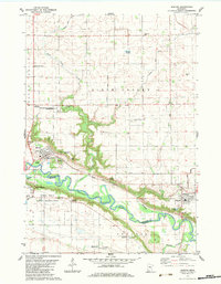
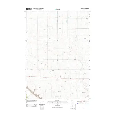
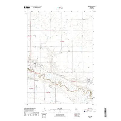
 1992 Morton1995 Print · USGSThe Minnesota River valley was entering the mid-nineties as a landscape deeply marked by nineteenth-century history and agricultural engineering. Researchers can trace the Old Minnesota Indian Treaty Boundary and the grounds of the Birch Coulee Battlefield Historic Site.
 - 2010 Map of Morton, 2010 Print
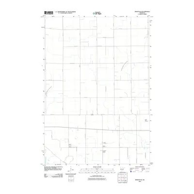
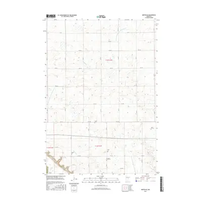
 2010 Morton2010 Print · USGSCovers Franklin, including Morton, Redwood County, and other nearby areas
 - 2010 Map of Morton SE, 2010 Print
 2010 Morton SE2010 Print · USGSCovers Franklin, including Redwood County, Renville County, and other nearby areas
 - 2013 Map of Morton, 2013 Print
 2013 Morton2013 Print · USGSCovers Franklin, including Morton, Redwood County, and other nearby areas
 - 2013 Map of Morton SE, 2013 Print
 2013 Morton SE2013 Print · USGSCovers Franklin, including Redwood County, Renville County, and other nearby areas
 - 2016 Map of Morton, 2016 Print
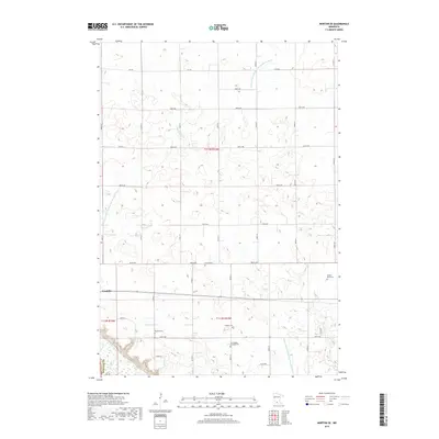
 2016 Morton2016 Print · USGSCovers Franklin, including Morton, Redwood County, and other nearby areas
 - 2016 Map of Morton SE, 2016 Print
 2016 Morton SE2016 Print · USGSCovers Franklin, including Redwood County, Renville County, and other nearby areas
 - 2019 Map of Morton, 2019 Print
 2019 Morton2019 Print · USGSCovers Franklin, including Morton, Redwood County, and other nearby areas
 - 2019 Map of Morton SE, 2019 Print
 2019 Morton SE2019 Print · USGSCovers Franklin, including Redwood County, Renville County, and other nearby areas
 - 2022 Map of Morton SE, 2022 Print
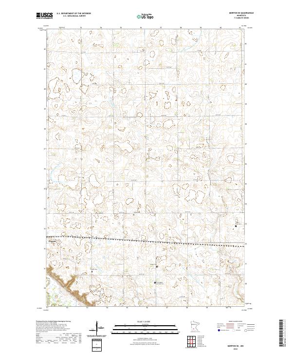 2022 Morton SE2022 Print · USGSThe Renville County prairie is captured here in its modern agricultural character, centered on the settlement of Franklin. Researchers can trace local heritage through several burial grounds including Finnish Cemetery and Fort Ridgely and Dale Cemetery.
 - 2022 Map of Morton, 2022 Print
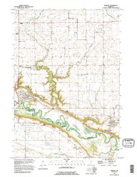
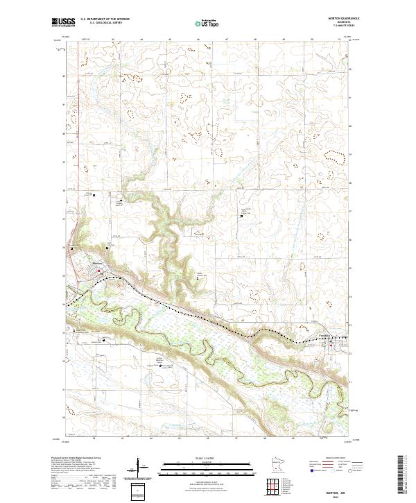 2022 Morton2022 Print · USGSThe Minnesota River valley and its high bluffs define this Renville County landscape in the early twenty-first century. Family historians can trace rare memorial markers like the Andrew Robertson Grave or visit the Patten Pioneer Cem and Morton Cem.
End of results
Showing maps 1-19 of 19
Top cities near Franklin
- Redwood Falls historical maps
- Sleepy Eye historical maps
- Fairfax historical maps
- Bird Island historical maps
- Hector historical maps
- Morgan historical maps
See more
Frequently asked questions
- What are the different types of historical maps available for Franklin?
- What is the oldest map of Franklin?
- Where can I purchase historical maps of Franklin for my home or office?
- Where can I download high-res historical maps of Franklin?
- Are there historical topographic maps available for Franklin?
- Is there historical aerial imagery available for Franklin?
- Where are historical maps of Franklin sourced from?