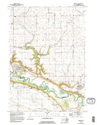
1992 Map of Morton
USGS Topo · Published 1995About this map
The Minnesota River valley near Morton and Franklin is defined by its deep historical layers, particularly where the Birch Coulee Battlefield Historic Site and several Historical Monuments mark the conflict of 1862. The landscape preserves significant cultural markers, including the Old Minnesota Indian Treaty Boundary and the northern portion of the Lower Sioux Indian Reservation.
Find a feature on this map
32 named features on this map. Tap any name to fly to it.
Don’t see what you’re looking for? This feature index may not catch every label — zoom into the map to look around manually.
Map Details
Editions of this 1992 Morton Map
This is the sole edition of this map. No revisions or reprints were ever made.
Other maps of this area

1952 · Morton
USGS Topo · 1:62,500

1952 · Redwood Falls
USGS Topo · 1:62,500

1953 · Morgan
USGS Topo · 1:62,500

1953 · New Ulm
USGS Topo · 1:250,000

1957 · New Ulm
USGS Topo · 1:250,000

1958 · New Ulm
USGS Topo · 1:250,000

1967 · New Ulm
USGS Topo · 1:250,000

1967 · Clements
USGS Topo · 1:24,000
1982 · Morgan NE
USGS Topo · 1:24,000
1982 · Redwood Falls
USGS Topo · 1:24,000