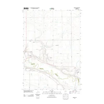
2013 Map of Morton
USGS Topo · Published 2013About this map
The Minnesota River valley carves a deep, winding path through this region of the Upper Midwest, defining the border between Renville Co and Redwood Co. The river plain is a complex network of bluffs and bottomlands, where drainage is managed through extensive infrastructure like Ditch Number Twelve and County Ditch Number One Hundred Eleven. At the center of this landscape sits Morton, positioned where the valley floor meets the upland plains, while Franklin anchors the eastern side of the sheet.
Find a feature on this map
52 named features on this map. Tap any name to fly to it.
Don’t see what you’re looking for? This feature index may not catch every label — zoom into the map to look around manually.
Map Details
Editions of this 2013 Morton Map
This is the sole edition of this map. No revisions or reprints were ever made.
Other maps of this area

1952 · Morton
USGS Topo · 1:62,500

1952 · Redwood Falls
USGS Topo · 1:62,500

1953 · Morgan
USGS Topo · 1:62,500

1953 · New Ulm
USGS Topo · 1:250,000

1957 · New Ulm
USGS Topo · 1:250,000

1958 · New Ulm
USGS Topo · 1:250,000

1967 · New Ulm
USGS Topo · 1:250,000

1967 · Clements
USGS Topo · 1:24,000
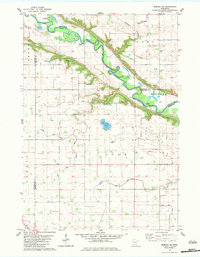
1982 · Morgan NE
USGS Topo · 1:24,000
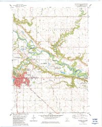
1982 · Redwood Falls
USGS Topo · 1:24,000