Old Maps of Springwater Township, Minnesota for Genealogy
Trace your family roots with 27 historic maps of Springwater Township. These high-res maps reveal old neighborhoods, homesites, landmarks, and streets — helping you uncover where your ancestors lived and how the area evolved over time.
- Explore historic neighborhoods: Identify where your relatives may have lived in the 1800s or 1900s.
- Compare maps over time: Trace the changes in streets, buildings, and landmarks for multi-generational research.
- Perfect for genealogy & ancestry research: Used by family historians and researchers to map out lineage and migration.
These maps are an incredible resource for exploring your personal connection to Springwater Township's past.
Springwater Township, MN maps
(27)- 1955 Map of Sioux Falls, 1967 Print
 1955 Sioux Falls1967 Print · USGSThe eastern South Dakota and western Minnesota borderlands come alive in the mid-fifties, showing the vital rail-to-river connections of the era. Genealogists can trace family footprints across townships like Madison and Pipestone, while following the paths of the Big Sioux River and the Chicago and North Western line.3 unique versions available
 - 1958 Map of Sioux Falls
 1958 Sioux Falls1958 Print · USGSThe tri-state borderlands of South Dakota, Minnesota, and Iowa are captured here during the mid-century peak of the regional rail network. Genealogists and historians can trace local landmarks like Augustana Academy, the St Marys Cem, and the path of the Illinois Central through Rock Rapids.
 - 1967 Map of Garretson East, 1968 Print
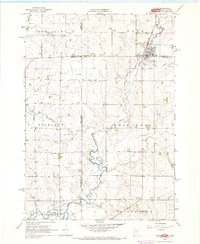
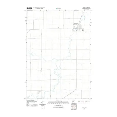
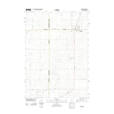
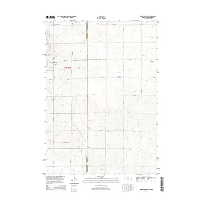
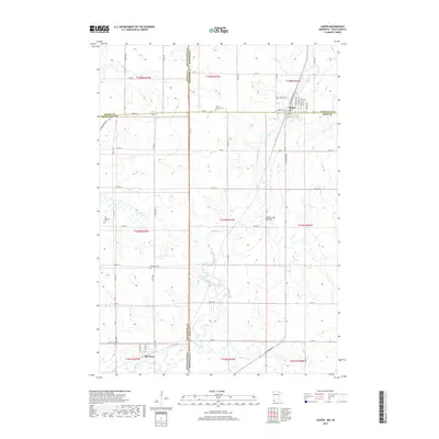
 1967 Garretson East1968 Print · USGSThe South Dakota and Minnesota borderlands are captured here in the late sixties, centered on the railroad hub of Garretson. Researchers can locate several pioneer-era burial grounds including Sherman Cem and Springwater Cem, alongside the winding Devils Gulch.
 - 1967 Map of Jasper SE, 1968 Print
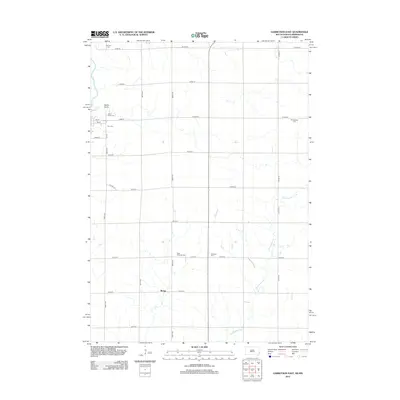
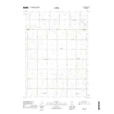
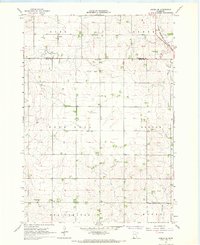 1967 Jasper SE1968 Print · USGSRock County's rural townships are shown in detail during the late sixties, capturing the agricultural grid and rail infrastructure of the day. Genealogists can locate family landmarks such as Rose Dell Ch, the Townhall, and the Chicago Rock Island and Pacific railroad line.
 - 1967 Map of Hills NE, 1968 Print
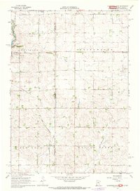
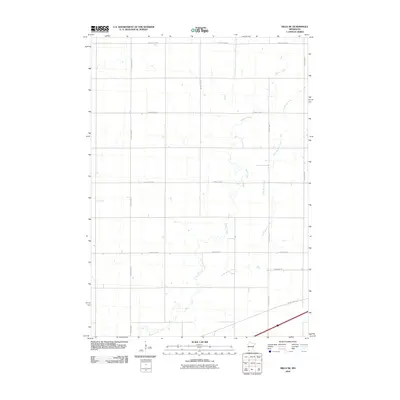
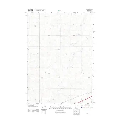
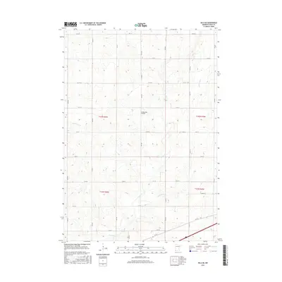
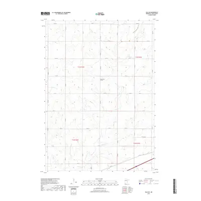
 1967 Hills NE1968 Print · USGSRock County's agricultural landscape is captured here in the late sixties, showing the structured grid of family farms and townships. Genealogists and local historians can trace rail history along the Chicago and North Western or locate the rural Townhall and winding Little Beaver Creek.
 - 1967 Map of Jasper, 1968 Print
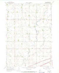
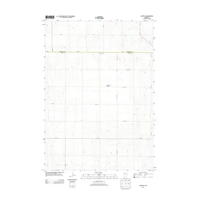
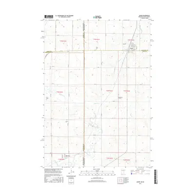
 1967 Jasper1968 Print · USGSThe tri-state border region of Minnesota and South Dakota was a busy rail and quarrying hub in the late sixties. Researchers can trace the Great Northern rail lines and locate family sites at Rosendal Cem or the village of Sherman.
 - 1985 Map of Sioux Falls
 1985 Sioux Falls1985 Print · USGSIn the mid-1980s, the borderlands of South Dakota, Minnesota, and Iowa reveal a landscape shaped by the Big Sioux River and a growing urban hub. Researchers can trace the development of Sioux Falls and locate smaller communities like Dell Rapids, Garretson, and Valley Springs.2 unique versions available
 - 2010 Map of Hills NE, 2010 Print
 2010 Hills NE2010 Print · USGSCovers Springwater Township, including Mound Township, Luverne Township, and other nearby areas
 - 2010 Map of Jasper SE, 2010 Print
 2010 Jasper SE2010 Print · USGSCovers Springwater Township, including Mound Township, Denver Township, and other nearby areas
 - 2010 Map of Jasper, 2010 Print
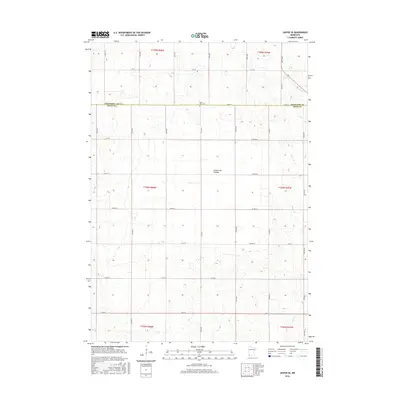
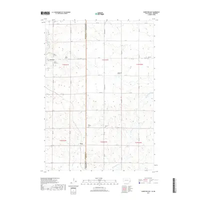
 2010 Jasper2010 Print · USGSCovers Springwater Township, including Jasper, Sherman, and other nearby areas
 - 2010 Map of Garretson East, 2010 Print
 2010 Garretson East2010 Print · USGSCovers Springwater Township, including Garretson, Palisade Township, and other nearby areas
 - 2012 Map of Garretson East, 2012 Print
 2012 Garretson East2012 Print · USGSCovers Springwater Township, including Garretson, Palisade Township, and other nearby areas
 - 2013 Map of Jasper SE, 2013 Print
 2013 Jasper SE2013 Print · USGSCovers Springwater Township, including Mound Township, Denver Township, and other nearby areas
 - 2013 Map of Jasper, 2013 Print
 2013 Jasper2013 Print · USGSCovers Springwater Township, including Jasper, Sherman, and other nearby areas
 - 2013 Map of Hills NE, 2013 Print
 2013 Hills NE2013 Print · USGSCovers Springwater Township, including Mound Township, Luverne Township, and other nearby areas
 - 2015 Map of Garretson East, 2015 Print
 2015 Garretson East2015 Print · USGSCovers Springwater Township, including Garretson, Palisade Township, and other nearby areas
 - 2016 Map of Hills NE, 2016 Print
 2016 Hills NE2016 Print · USGSCovers Springwater Township, including Mound Township, Luverne Township, and other nearby areas
 - 2016 Map of Jasper, 2016 Print
 2016 Jasper2016 Print · USGSCovers Springwater Township, including Jasper, Sherman, and other nearby areas
 - 2016 Map of Jasper SE, 2016 Print
 2016 Jasper SE2016 Print · USGSCovers Springwater Township, including Mound Township, Denver Township, and other nearby areas
 - 2017 Map of Garretson East, 2017 Print
 2017 Garretson East2017 Print · USGSCovers Springwater Township, including Garretson, Palisade Township, and other nearby areas
 - 2019 Map of Jasper SE, 2019 Print
 2019 Jasper SE2019 Print · USGSCovers Springwater Township, including Mound Township, Denver Township, and other nearby areas
 - 2019 Map of Jasper, 2019 Print
 2019 Jasper2019 Print · USGSCovers Springwater Township, including Jasper, Sherman, and other nearby areas
 - 2019 Map of Hills NE, 2019 Print
 2019 Hills NE2019 Print · USGSCovers Springwater Township, including Mound Township, Luverne Township, and other nearby areas
 - 2021 Map of Garretson East, 2021 Print
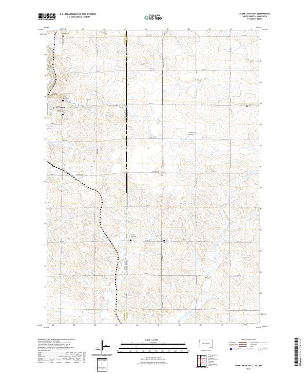 2021 Garretson East2021 Print · USGSGarretson and the rolling highlands of the South Dakota-Minnesota border are captured here in the early twenty-first century. Genealogists can trace family plots at Zion Lutheran Church Cem or Sherman Cem near the landmarks of Devils Gulch.
 - 2022 Map of Hills NE, 2022 Print
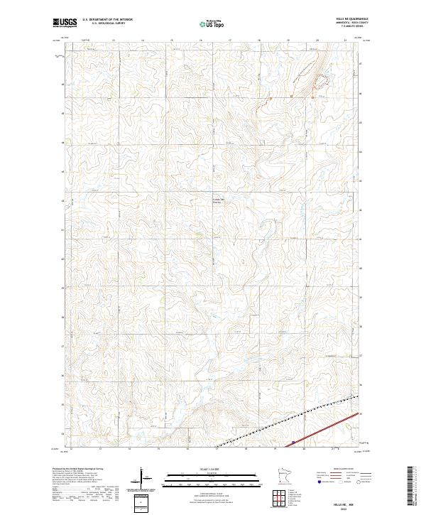 2022 Hills NE2022 Print · USGSThe high plains of Rock County appear in this recent survey, showcasing the distinct agricultural grid and natural drainage of the Coteau des Prairies. Trace the winding paths of the Northern Tall Grass Prairie Trail 1 Trl and the riparian corridors of Beaver Cr.
Showing maps 1-25 of 27
Top cities near Springwater Township
- Brandon historical maps
- Luverne historical maps
- Garretson historical maps
- Valley Springs historical maps
- Hills historical maps
- Jasper historical maps
See more
Frequently asked questions
- What are the different types of historical maps available for Springwater Township?
- What is the oldest map of Springwater Township?
- Where can I purchase historical maps of Springwater Township for my home or office?
- Where can I download high-res historical maps of Springwater Township?
- Are there historical topographic maps available for Springwater Township?
- Is there historical aerial imagery available for Springwater Township?
- Where are historical maps of Springwater Township sourced from?