Old Maps of Crane Lake, Minnesota for Academic Research
Study the evolution of Crane Lake with 11 high-resolution historic maps. Whether you're teaching, researching, or modeling changes in land use, these maps provide essential visual documentation of urban, environmental, and geographic change.
- Analyze long-term change: Track patterns in development, transportation, and natural features.
- Ideal for environmental or urban studies: Support academic projects with primary historical map data.
- Use in the classroom or lab: Educators and researchers rely on these maps to bring historical context to life.
These maps are a powerful tool for teaching, research, and visualizing how Crane Lake has changed over the decades.
Crane Lake, MN maps
(11)- 1954 Map of International Falls, 1980 Print
 1954 International Falls1980 Print · USGSThe Minnesota-Ontario borderlands come alive in this mid-century survey of the Rainy River region and the interconnected waterways that now form Voyageurs National Park. Genealogists and local historians can trace the rail-and-timber era through settlements like Littlefork, the Nett Lake Indian Reservation, and the Canadian National rail lines.
 - 1957 Map of International Falls
 1957 International Falls1957 Print · USGSThe Minnesota-Ontario borderlands come alive in the mid-fifties, showing the industrial nodes of International Falls and Fort Frances. Genealogists and historians can trace rail-tied settlements like Aylsworth and Littlefork or locate ancestral lands within the Nett Lake Indian Reservation.
 - 1958 Map of International Falls
 1958 International Falls1958 Print · USGSThe borderlands of northern Minnesota and Ontario are mapped here during the mid-fifties, centered on the river-and-rail hubs of the Northwoods. Researchers can trace the path of the Northern Pacific through Big Falls or locate early settlements like Ericsburg and Ranier.2 unique versions available
 - 1963 Map of Crane Lake, 1965 Print
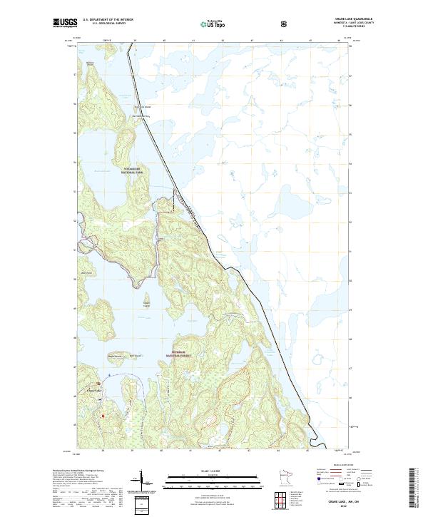
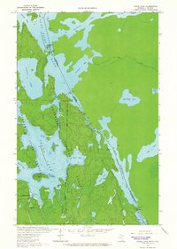 1963 Crane Lake1965 Print · USGSThe Minnesota-Ontario borderlands come alive in this early 1960s survey of the northern wilderness. Trace the historic water routes of the Dawson Portage and locate the Port of Entry Customs and Crane Lake Chapel near the lakeside settlement.3 unique versions available
 - 1978 Map of Crane Lake, 1994 Print
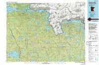 1978 Crane Lake1994 Print · USGSThe Minnesota-Ontario borderlands remained a dense wilderness of lakes and timber late into the twentieth century. Genealogists and historians can trace the route of the Duluth Winnipeg and Pacific through Orr and locate remote landmarks like Cemetery Island or the Beatty Portage.
 - 1999 Map of Crane Lake, 2003 Print
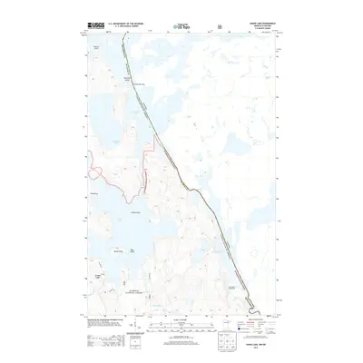
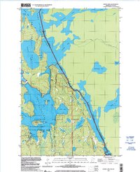 1999 Crane Lake2003 Print · USGSSt. Louis County's northern boundary at the turn of the millennium was a landscape of intricate waterways and forest preserves. Researchers can trace the water routes from Crane Lake through King Williams Narrows and locate local landmarks like the Crane Lake Chapel.
 - 2011 Map of Crane Lake, 2011 Print
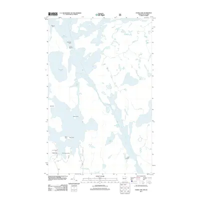 2011 Crane Lake2011 Print · USGSCovers Crane Lake, including Unorganized Rainy River, Saint Louis County, and other nearby areas
 - 2013 Map of Crane Lake, 2013 Print
 2013 Crane Lake2013 Print · USGSCovers Crane Lake, including Unorganized Rainy River, Saint Louis County, and other nearby areas
 - 2016 Map of Crane Lake, 2016 Print
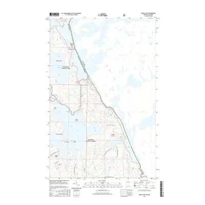 2016 Crane Lake2016 Print · USGSCovers Crane Lake, including Unorganized Rainy River, Saint Louis County, and other nearby areas
 - 2019 Map of Crane Lake, 2019 Print
 2019 Crane Lake2019 Print · USGSCovers Crane Lake, including Unorganized Rainy River, Saint Louis County, and other nearby areas
 - 2022 Map of Crane Lake, 2022 Print
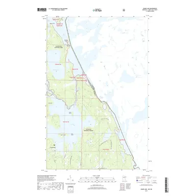
 2022 Crane Lake2022 Print · USGSThe Minnesota-Canada border comes alive in this contemporary survey of the North Woods water network. Researchers can trace the junction of Voyageurs National Park and Superior National Forest through local landmarks like Crane Lake, Indian Island, and the Loon River.
End of results
Showing maps 1-11 of 11
Frequently asked questions
- What are the different types of historical maps available for Crane Lake?
- What is the oldest map of Crane Lake?
- Where can I purchase historical maps of Crane Lake for my home or office?
- Where can I download high-res historical maps of Crane Lake?
- Are there historical topographic maps available for Crane Lake?
- Is there historical aerial imagery available for Crane Lake?
- Where are historical maps of Crane Lake sourced from?