2000s (21st Century) Maps of Rice Lake Annex, Duluth
Explore 10 historic maps of Rice Lake Annex from the 2000s (21st Century). These maps offer a rare glimpse into what life looked like during the 2000s — showing old roads, neighborhoods, homes, and landmarks that have changed or disappeared over time.
Whether you're researching your family's past, planning a metal detecting trip, or studying how Rice Lake Annex's landscape evolved across the 2000s, these high-resolution maps are a powerful tool for exploring the history of this region.
- Focus on a specific era: All maps on this page are from the 2000s, giving you a focused view of this time period.
- See what’s changed: Compare century-old streets, trails, and buildings to today's modern landscape using overlays and satellite layers.
- Research with precision: Use these maps for genealogy, historical research, land use analysis, or educational projects.
- View, download, or print: Maps are fully viewable online in high resolution, and can be downloaded or printed for your own records.
Start exploring Rice Lake Annex's history through authentic maps from the 2000s. This is your window into the past.
Rice Lake Annex, Duluth maps
(10)- 2010 Map of Arnold, 2010 Print
 2010 Arnold2010 Print · USGSCovers Rice Lake Annex, including Duluth, Rice Lake, and other nearby areas
 - 2010 Map of Duluth, 2010 Print
 2010 Duluth2010 Print · USGSCovers Rice Lake Annex, including Duluth, Rice Lake, and other nearby areas
 - 2013 Map of Duluth, 2013 Print
 2013 Duluth2013 Print · USGSCovers Rice Lake Annex, including Duluth, Rice Lake, and other nearby areas
 - 2013 Map of Arnold, 2013 Print
 2013 Arnold2013 Print · USGSCovers Rice Lake Annex, including Duluth, Rice Lake, and other nearby areas
 - 2016 Map of Arnold, 2016 Print
 2016 Arnold2016 Print · USGSCovers Rice Lake Annex, including Duluth, Rice Lake, and other nearby areas
 - 2016 Map of Duluth, 2016 Print
 2016 Duluth2016 Print · USGSCovers Rice Lake Annex, including Duluth, Rice Lake, and other nearby areas
 - 2019 Map of Duluth, 2019 Print
 2019 Duluth2019 Print · USGSCovers Rice Lake Annex, including Duluth, Rice Lake, and other nearby areas
 - 2019 Map of Arnold, 2019 Print
 2019 Arnold2019 Print · USGSCovers Rice Lake Annex, including Duluth, Rice Lake, and other nearby areas
 - 2022 Map of Duluth, 2022 Print
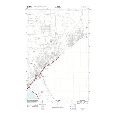
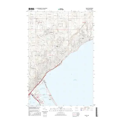
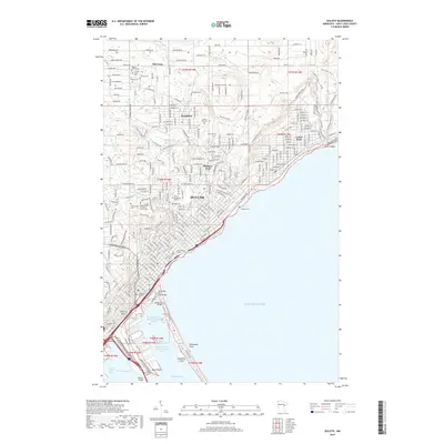
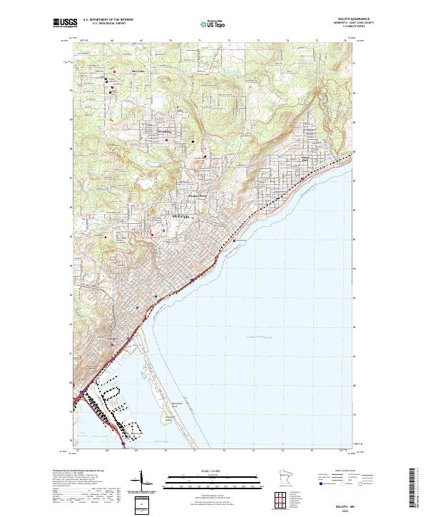 2022 Duluth2022 Print · USGSThe port of Duluth and its North Shore neighborhoods are captured here in the early 2020s. Genealogists can trace family histories at Calvary Cem or Scandia Cem, while outdoor historians follow the Superior Hiking Trl and Lake Superior Water Trl.
 - 2022 Map of Arnold, 2022 Print
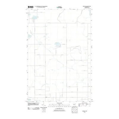
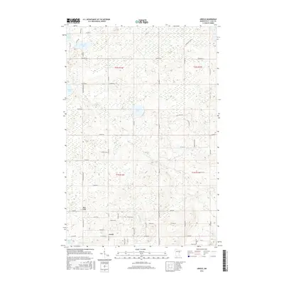
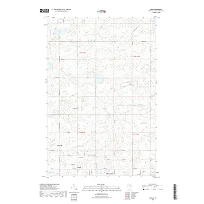
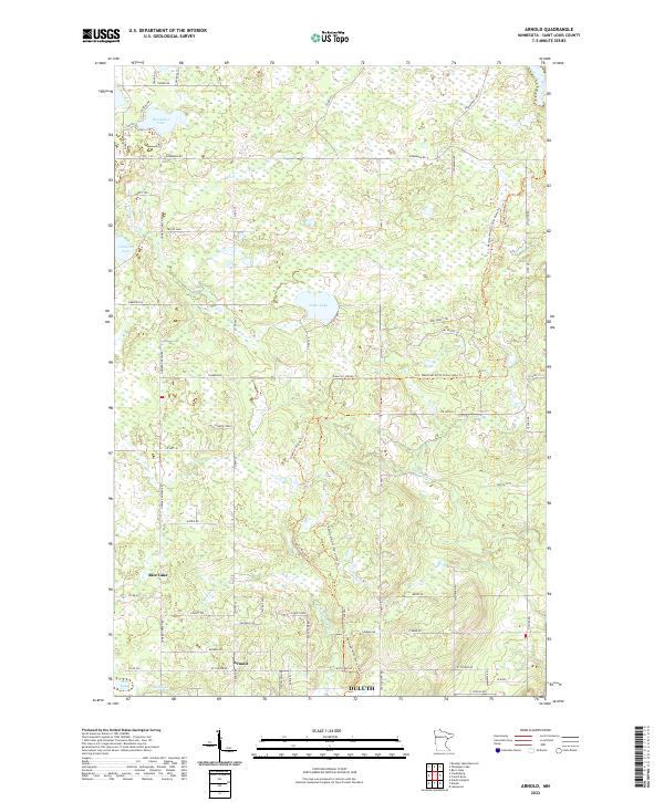 2022 Arnold2022 Print · USGSNorth of Duluth, the landscape near the turn of the twenty-first century reveals a mix of growing residential areas and wild ridges. Researchers can trace family names along Howard Gnesen Rd, find the settlement of Arnold, and follow the Lester River to Eagle Lake.
End of results
Showing maps 1-10 of 10
Top cities near Rice Lake Annex
- Duluth historical maps
- Superior historical maps
- Hermantown historical maps
- Proctor historical maps
- Lakewood historical maps
- Parkland historical maps
See more
Frequently asked questions
- What are the different types of historical maps available for Rice Lake Annex?
- What is the oldest map of Rice Lake Annex?
- Where can I purchase historical maps of Rice Lake Annex for my home or office?
- Where can I download high-res historical maps of Rice Lake Annex?
- Are there historical topographic maps available for Rice Lake Annex?
- Is there historical aerial imagery available for Rice Lake Annex?
- Where are historical maps of Rice Lake Annex sourced from?