Old Maps of Lakewood Township, Minnesota for Academic Research
Study the evolution of Lakewood Township with 34 high-resolution historic maps. Whether you're teaching, researching, or modeling changes in land use, these maps provide essential visual documentation of urban, environmental, and geographic change.
- Analyze long-term change: Track patterns in development, transportation, and natural features.
- Ideal for environmental or urban studies: Support academic projects with primary historical map data.
- Use in the classroom or lab: Educators and researchers rely on these maps to bring historical context to life.
These maps are a powerful tool for teaching, research, and visualizing how Lakewood Township has changed over the decades.
Lakewood Township, MN maps
(34)- 1895 Map of Duluth
 1895 Duluth1895 Print · USGSDuluth in the mid-1890s shows a rapidly expanding port city before the turn of the century. Genealogists and historians can trace the early street grids of Woodland Park and Lester Park or explore the original shoreline of Duluth Harbor.5 unique versions available
 - 1953 Map of Lakewood, 1955 Print
 1953 Lakewood1955 Print · USGSThe North Shore of Lake Superior comes alive in the mid-1950s, showing the early residential and transit corridor north of Duluth. You can trace the Duluth Missabe and Iron Range rail line past Lakewood and the North Shore Chapel.4 unique versions available
 - 1953 Map of French River, 1955 Print
 1953 French River1955 Print · USGSThe North Shore of Lake Superior comes alive in the early fifties as timberlands met the burgeoning iron-and-rail industry. Genealogists and local historians can trace the foundations of Bloomingdale, Normanna Cem, and the path of the Duluth Missabe and Iron Range railroad.4 unique versions available
 - 1953 Map of Arnold, 1955 Print
 1953 Arnold1955 Print · USGSThe rural countryside north of Duluth is shown here in the mid-1950s, characterized by growing townships and a dense network of glacial lakes. Local historians can trace early community sites like Arnold, the Exeter Farms Ch, and the Gnesen Sch.5 unique versions available
 - 1953 Map of Duluth, 1955 Print
 1953 Duluth1955 Print · USGSMid-century Duluth shows a bustling maritime and academic center along the rocky shores of Lake Superior. Trace family roots and city history at Calvary Cemetery, the University of Minnesota Duluth Branch, and the Ship Canal.7 unique versions available
 - 1953 Map of Duluth, 1959 Print
 1953 Duluth1959 Print · USGSThe port city of Duluth and its timber-and-iron hinterlands are captured here in the early 1950s. Genealogists and historians can locate family landmarks from Minnesota Point to the Duluth Municipal Airport, including Calvary Cem and Lakewood Sch.
 - 1953 Map of Ashland, 1964 Print
 1953 Ashland1964 Print · USGSNorthern Wisconsin's lakefront and timberlands are seen here in the mid-1950s, showing the intersection of industrial rail lines and vast wilderness. Genealogists and historians can trace the Soo Line through rail towns like Mellen or locate family roots in the Apostle Islands and Bad River Indian Reservation.3 unique versions available
 - 1953 Map of Duluth, 1964 Print
 1953 Duluth1964 Print · USGSNortheastern Minnesota and northwestern Wisconsin are shown here during a period of industrial maturity and expanding conservation. Genealogists and historians can trace rail-connected towns like McGrath and Wahkon, or locate heritage sites within the Fond du Lac Indian Reservation.2 unique versions available
 - 1958 Map of Ashland
 1958 Ashland1958 Print · USGSCoastal Wisconsin and the Michigan borderlands meet here in the late fifties, dominated by the timbered expanses and iron-rich ranges. Genealogists can trace family footprints in settlements like Odanah and Montreal, or locate landmarks such as the Coast Guard Station and Agricultural Experiment Station.
 - 1958 Map of Duluth
 1958 Duluth1958 Print · USGSNortheastern Minnesota and the Wisconsin borderlands are shown in detail during the late 1950s, centered on the bustling rail yards and ports of Duluth. You can trace the historic routes of the Soo Line and Duluth Missabe & Iron Range through small towns like McGrath, Bruno, and Wrenshall.
 - 1980 Map of Port Wing
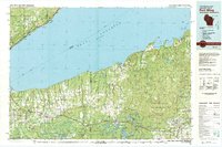 1980 Port Wing1980 Print · USGSThe Lake Superior shoreline and the deep forests of Bayfield and Douglas counties are captured here in the early eighties. Genealogists and historians can trace the rail lines through Iron River or locate the lakeside landings at Cornucopia and Port Wing.
 - 1980 Map of Duluth
 1980 Duluth1980 Print · USGSThe Twin Ports of the early 1980s showcase a landscape defined by heavy rail lines and Lake Superior shipping. Trace the iron-ore routes through Proctor or locate family sites near Sunrise Memorial Cem and Floodwood.
 - 1992 Map of Lakewood, 1995 Print
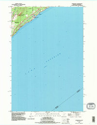 1992 Lakewood1995 Print · USGSThe North Shore of Lake Superior comes into focus in the early nineties as the outskirts of Duluth meet Lakewood. Trace the historic winding paths of Old North Shore Road and Lester River as they follow the rugged elevation of Moose Mountain.2 unique versions available
 - 1992 Map of French River, 1995 Print
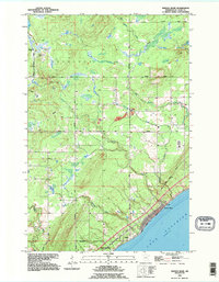 1992 French River1995 Print · USGSThe North Shore of Lake Superior comes alive in the early 1990s as it transitions from the forested township of Normanna to the shoreline. Researchers can trace the coastal settlement of Clifton or locate the Normanna Cem and several vital waterways like the French River.
 - 2010 Map of Arnold, 2010 Print
 2010 Arnold2010 Print · USGSNorth of Duluth during the early 2000s, this area shows the transition from suburban outskirts to the lake-studded woods of Saint Louis County. Researchers can trace the drainage of the Lester River and locate local landmarks like Eagle Lake, Schultz Lake, and the settlement of Arnold.
 - 2010 Map of Duluth, 2010 Print
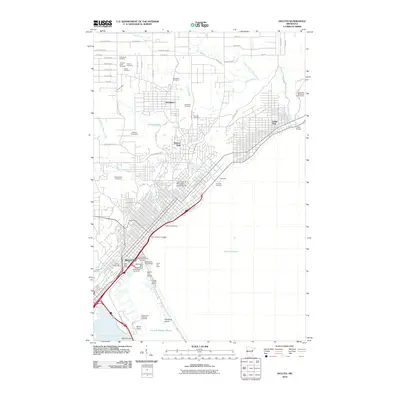 2010 Duluth2010 Print · USGSDuluth and its industrial harbor are captured here just after the first decade of the new millennium. Researchers can trace waterfront landmarks like the Aerial Lift Bridge and Glensheen alongside old neighborhood sites like Woodland.
 - 2010 Map of French River, 2010 Print
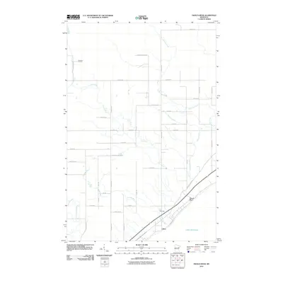 2010 French River2010 Print · USGSThe North Shore of Minnesota comes into focus at the start of the decade, where the Lake Superior shoreline meets the woods. Researchers can trace local heritage at Normanna Cemetery and follow the paths of the French River and Talmadge River to the lake.
 - 2010 Map of Lakewood, 2010 Print
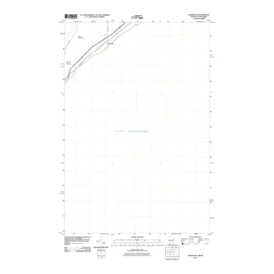 2010 Lakewood2010 Print · USGSCoastal Duluth and the North Shore are captured here in the early twenty-first century, showcasing the interface between the lake and the land. Researchers can trace the layout of Lakewood and landmarks like Lester Park Municipal Golf Course and Moose Mountain.
 - 2013 Map of Duluth, 2013 Print
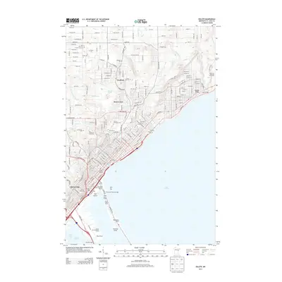 2013 Duluth2013 Print · USGSDuluth's industrial waterfront and hillside neighborhoods are captured here in the early twenty-first century. Researchers can trace historic landmarks like the Aerial Lift Bridge, the Fitger's Brewery Complex, and numerous faith-based cemeteries like Adas Israel Cem.
 - 2013 Map of Arnold, 2013 Print
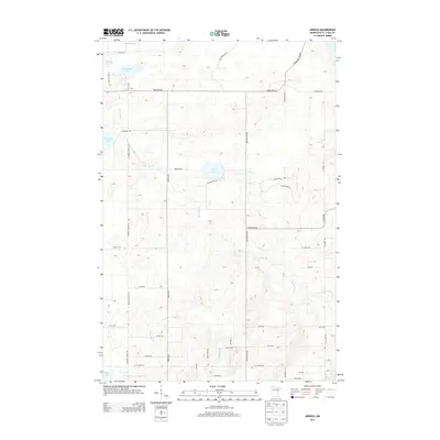 2013 Arnold2013 Print · USGSSaint Louis County just north of Duluth comes into focus in the early twenty-first century, showing the forested headwaters of the Lester River. You can trace historical routes like the Old Vermilion Trl and locate family land via namesake roads like Rehbein Rd and Schamann Rd.
 - 2013 Map of French River, 2013 Print
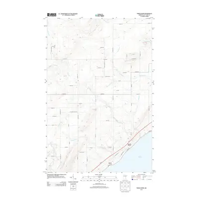 2013 French River2013 Print · USGSThe North Shore of Lake Superior comes into focus in the early 2010s, showing the residential and wooded landscape northeast of Duluth. Genealogists and local historians can locate the Normanna Cem and trace the paths of the French River and Talmadge River as they flow toward Clifton.
 - 2013 Map of Lakewood, 2013 Print
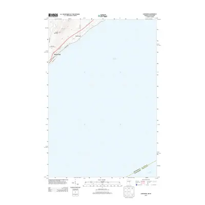 2013 Lakewood2013 Print · USGSThe North Shore of Lake Superior comes into focus in the early twenty-first century, showing the coastal transition from city to woodland. Trace local landmarks from Moose Mountain to the shores of Duluth and the lakeside community of Lakewood.
 - 2016 Map of Lakewood, 2016 Print
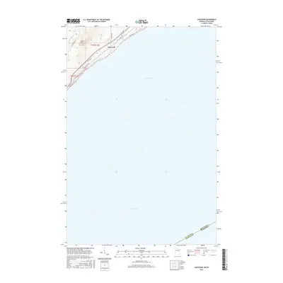 2016 Lakewood2016 Print · USGSThe North Shore shoreline near Duluth is captured in this recent survey, showing the interface between the lake and the Minnesota woods. Local historians can trace the roads and drainages around Lakewood, the slopes of Moose Mtn, and the course of the Lester River.
 - 2016 Map of French River, 2016 Print
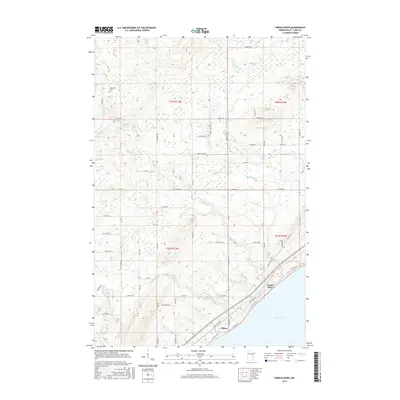 2016 French River2016 Print · USGSSaint Louis County's North Shore is captured here in the mid-2010s, showing where the forest meets the water. Genealogists and hikers can trace the French River drainage, locate the Normanna Cem, and explore the roads around Clifton.
 - 2016 Map of Arnold, 2016 Print
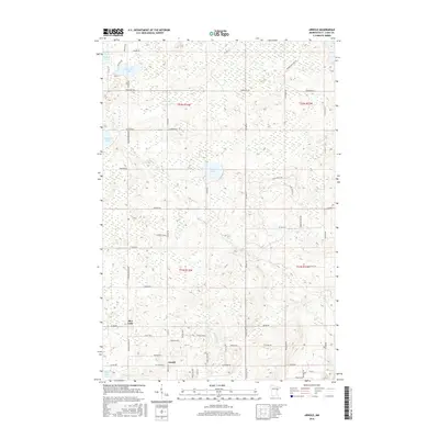 2016 Arnold2016 Print · USGSThe outskirts of Duluth and the lake country of Saint Louis County come into focus in the mid-2010s. Local researchers can trace the roads and waterways around Arnold and Rice Lake, or locate family properties near Eagle Lake and the Lester River.
Showing maps 1-25 of 34
Top cities near Lakewood Township
Frequently asked questions
- What are the different types of historical maps available for Lakewood Township?
- What is the oldest map of Lakewood Township?
- Where can I purchase historical maps of Lakewood Township for my home or office?
- Where can I download high-res historical maps of Lakewood Township?
- Are there historical topographic maps available for Lakewood Township?
- Is there historical aerial imagery available for Lakewood Township?
- Where are historical maps of Lakewood Township sourced from?