Old Maps of Leander, Minnesota for Academic Research
Study the evolution of Leander with 11 high-resolution historic maps. Whether you're teaching, researching, or modeling changes in land use, these maps provide essential visual documentation of urban, environmental, and geographic change.
- Analyze long-term change: Track patterns in development, transportation, and natural features.
- Ideal for environmental or urban studies: Support academic projects with primary historical map data.
- Use in the classroom or lab: Educators and researchers rely on these maps to bring historical context to life.
These maps are a powerful tool for teaching, research, and visualizing how Leander has changed over the decades.
Leander, MN maps
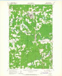
(11)- 1954 Map of Hibbing, 1966 Print
 1954 Hibbing1966 Print · USGSNorthern Minnesota's Iron Range thrives during the mid-1960s, showing the industrial landscape between the Mesabi Range and the Mississippi River. Genealogists and historians can trace the rail lines of the Great Northern RR through mining hubs like Hibbing and Virginia.3 unique versions available
 - 1957 Map of Hibbing
 1957 Hibbing1957 Print · USGSNorthern Minnesota's Iron Range is shown at its industrial peak in the mid-fifties, dominated by the massive iron pits and rail corridors of the Mesabi Range. Researchers can trace the rail networks of the Duluth Missabe and Iron Range and locate mining hubs like Hibbing, Virginia, and Bovey.
 - 1958 Map of Hibbing
 1958 Hibbing1958 Print · USGSThe Mesabi Iron Range reached its mid-century height during this era, defining the landscape between Grand Rapids and Virginia. Genealogists and historians can trace the mining-town networks of Hibbing and Chisholm or locate numerous iron mines and rail spurs.
 - 1964 Map of Hibbing
 1964 Hibbing1964 Print · USGSNorthern Minnesota’s iron-rich corridor is captured here during a peak era of mid-century industrial activity. Researchers can trace the rail-to-mine connections through Mesabi Range towns like Hibbing and Virginia or locate lakefront settlements near Pokegama Lake.
 - 1964 Map of Cook, 1966 Print
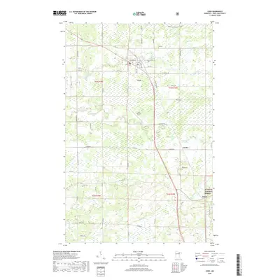
 1964 Cook1966 Print · USGSThe river-and-rail hub of Cook is captured here in the mid-1960s as it served the logging and farming families of St. Louis County. Researchers can trace rural church locations like Alango Ch and St Pauls Ch or follow the Duluth Winnipeg and Pacific rail line through Angora.2 unique versions available
 - 1994 Map of Vermillion Lake
 1994 Vermillion Lake1994 Print · USGSThe Mesabi Iron Range meets the North Woods in the 1990s, showcasing the heavy industrial footprint of the Duluth Missabe & Iron Range RR. Trace the sprawling works of the Mines near Virginia or the intricate island shorelines of Vermilion Lake.
 - 2011 Map of Cook, 2011 Print
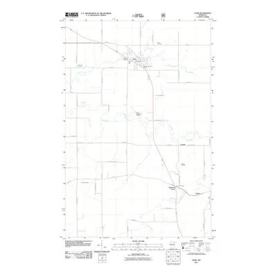 2011 Cook2011 Print · USGSCovers Leander, including Cook, Angora, and other nearby areas
 - 2013 Map of Cook, 2013 Print
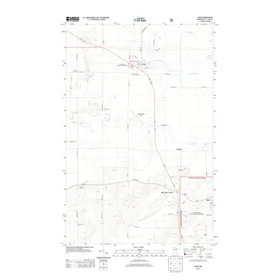 2013 Cook2013 Print · USGSCovers Leander, including Cook, Angora, and other nearby areas
 - 2016 Map of Cook, 2016 Print
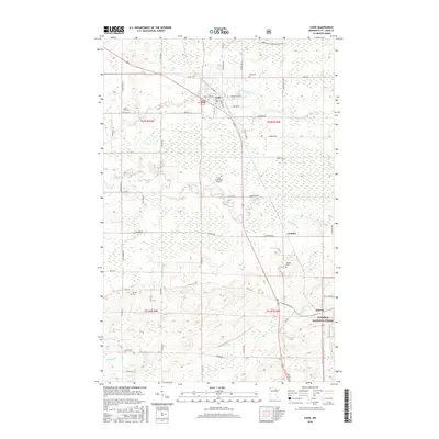 2016 Cook2016 Print · USGSCovers Leander, including Cook, Angora, and other nearby areas
 - 2019 Map of Cook, 2019 Print
 2019 Cook2019 Print · USGSCovers Leander, including Cook, Angora, and other nearby areas
 - 2022 Map of Cook, 2022 Print
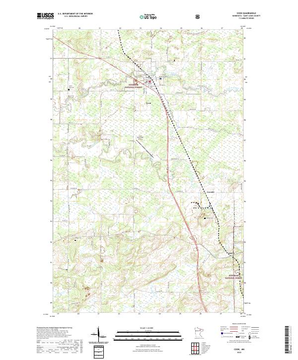 2022 Cook2022 Print · USGSThe settlement of Cook and its surrounding forest lands are documented here in the early twenty-first century. Genealogists can locate several regional burial sites including Cook Cem and Little Fork Cem, while outdoor researchers can trace the David-Dill-Arrowhead State Trl through the Superior National Forest.
End of results
Showing maps 1-11 of 11
Top cities near Leander
- Mountain Iron historical maps
- Cook historical maps
- Gheen historical maps
- Angora historical maps
- Linden Grove historical maps
- Willow Valley Township historical maps
See more
Frequently asked questions
- What are the different types of historical maps available for Leander?
- What is the oldest map of Leander?
- Where can I purchase historical maps of Leander for my home or office?
- Where can I download high-res historical maps of Leander?
- Are there historical topographic maps available for Leander?
- Is there historical aerial imagery available for Leander?
- Where are historical maps of Leander sourced from?