Old Maps of Albany, Minnesota for Hiking & Exploration
Hike through history with 16 historic maps of Albany. Explore old trails, ghost towns, and forgotten backroads — perfect for outdoor adventurers and local explorers.
- Rediscover forgotten places: Map out old mining camps, roads, and footpaths that no longer exist on modern maps.
- Layer with modern tools: Combine with LiDAR or satellite views to plan hikes through historical terrain.
- Made for exploration: Popular among hikers, overlanders, and local history lovers.
Use these maps to find adventure and explore the hidden past of Albany.
Albany, MN maps
(16)- 1953 Map of Saint Cloud, 1968 Print
 1953 Saint Cloud1968 Print · USGSCentral Minnesota's lake country and the Mississippi River valley are caught in a period of steady mid-century growth. Researchers can trace historic rail lines, old granite works, and local landmarks like St. Johns University, Camp Ripley, and the shores of Lake Minnewaska.3 unique versions available
 - 1957 Map of Saint Cloud
 1957 Saint Cloud1957 Print · USGSCentral Minnesota's lake country and rail corridors are meticulously detailed in the mid-1950s. Genealogists and researchers can trace the growth of towns like Alexandria, Willmar, and Saint Cloud along the Great Northern railroad line.
 - 1958 Map of Saint Cloud
 1958 Saint Cloud1958 Print · USGSCentral Minnesota in the mid-1950s shows a landscape of growing regional hubs and hundreds of glacial lakes connected by an extensive rail network. Genealogists and historians can trace the early footprints of Saint Cloud, Alexandria, and Willmar along the Great Northern Railway.
 - 1965 Map of Albany, 1966 Print
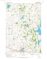 1965 Albany1966 Print · USGSStearns County is captured here in the mid-sixties, showcasing a landscape defined by small glacial lakes and a developing drainage network. Researchers can trace the Great Northern rail corridor through Albany or locate local landmarks like St Johns Cem and St. Anthony.2 unique versions available
 - 1965 Map of Farming, 1966 Print
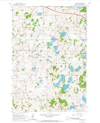 1965 Farming1966 Print · USGSStearns County in the mid-sixties reveals a landscape of family-named glacial lakes and a vanishing network of rural schoolhouses. Researchers can trace the Great Northern tracks and locate several community centers including Farming and Immanuel Ch.2 unique versions available
 - 1986 Map of St. Cloud
 1986 St. Cloud1986 Print · USGSCentral Minnesota in the mid-1980s reveals a landscape where river industry and growing highway corridors meet traditional farming communities. Researchers can trace the layout of small-town landmarks like St Wendel Ch and St Anna Cem or follow the path of the Sauk River as it winds toward the Mississippi.2 unique versions available
 - 2010 Map of Albany, 2010 Print
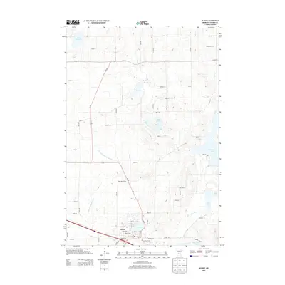
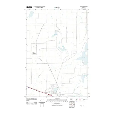 2010 Albany2010 Print · USGSCovers Albany, including St. Anthony, Saint Anthony, and other nearby areas
 - 2010 Map of Farming, 2010 Print
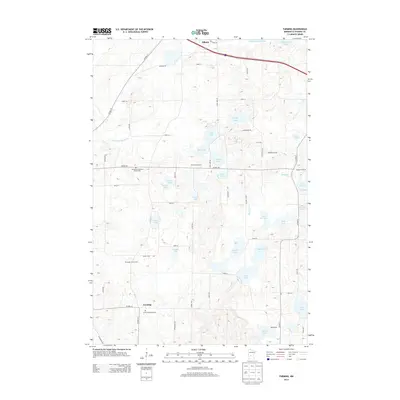
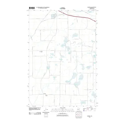 2010 Farming2010 Print · USGSCovers Albany, including Avon, Farming, and other nearby areas
 - 2013 Map of Albany, 2013 Print
 2013 Albany2013 Print · USGSCovers Albany, including St. Anthony, Saint Anthony, and other nearby areas
 - 2013 Map of Farming, 2013 Print
 2013 Farming2013 Print · USGSCovers Albany, including Avon, Farming, and other nearby areas
 - 2016 Map of Farming, 2016 Print
 2016 Farming2016 Print · USGSCovers Albany, including Avon, Farming, and other nearby areas
 - 2016 Map of Albany, 2016 Print
 2016 Albany2016 Print · USGSCovers Albany, including St. Anthony, Saint Anthony, and other nearby areas
 - 2019 Map of Albany, 2019 Print
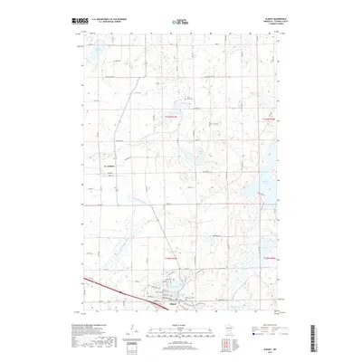 2019 Albany2019 Print · USGSCovers Albany, including St. Anthony, Saint Anthony, and other nearby areas
 - 2019 Map of Farming, 2019 Print
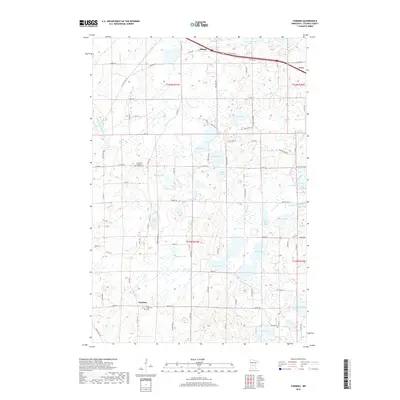 2019 Farming2019 Print · USGSCovers Albany, including Avon, Farming, and other nearby areas
 - 2022 Map of Albany, 2022 Print
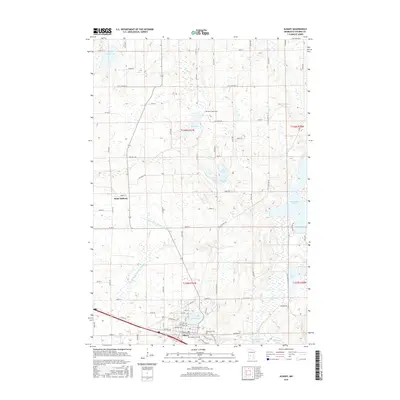
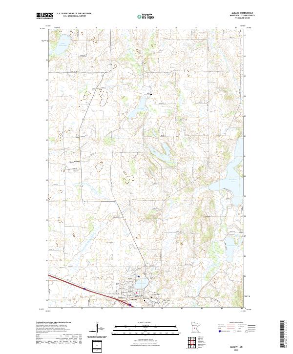 2022 Albany2022 Print · USGSStearns County in the early twenty-first century reveals a landscape defined by its glacial lakes and steady rural development. Researchers can trace local heritage through Seven Dolors Cem and Saint Johns Cem, or map the drainage networks of North Lake and the South Two River.
 - 2022 Map of Farming, 2022 Print
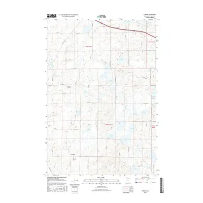
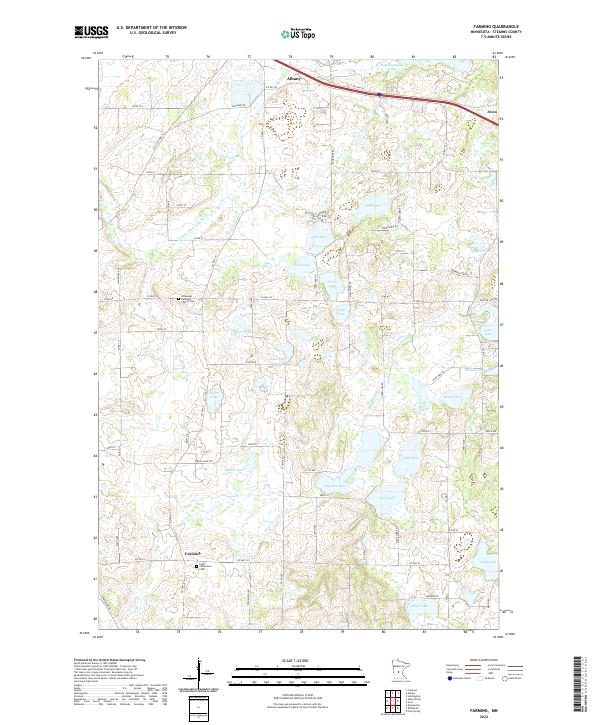 2022 Farming2022 Print · USGSThe rural landscape around Farming is captured here in the early 2020s, showing a region defined by its glacial lakes and deep agricultural roots. Researchers can trace local heritage through landmarks like Saint Catherine's Church or explore the shores of Big Rice Lake and Schwinghamer Lake.
End of results
Showing maps 1-16 of 16
Top cities near Albany
- Cold Spring historical maps
- Melrose historical maps
- Rockville historical maps
- Avon historical maps
- Richmond historical maps
- Farming historical maps
See more
Top neighborhoods of Albany
Frequently asked questions
- What are the different types of historical maps available for Albany?
- What is the oldest map of Albany?
- Where can I purchase historical maps of Albany for my home or office?
- Where can I download high-res historical maps of Albany?
- Are there historical topographic maps available for Albany?
- Is there historical aerial imagery available for Albany?
- Where are historical maps of Albany sourced from?