Old Maps of Maine Prairie Township, Minnesota for Academic Research
Study the evolution of Maine Prairie Township with 41 high-resolution historic maps. Whether you're teaching, researching, or modeling changes in land use, these maps provide essential visual documentation of urban, environmental, and geographic change.
- Analyze long-term change: Track patterns in development, transportation, and natural features.
- Ideal for environmental or urban studies: Support academic projects with primary historical map data.
- Use in the classroom or lab: Educators and researchers rely on these maps to bring historical context to life.
These maps are a powerful tool for teaching, research, and visualizing how Maine Prairie Township has changed over the decades.
Maine Prairie Township, MN maps
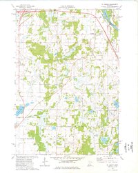
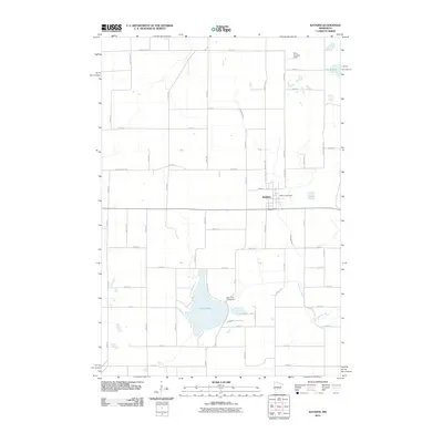
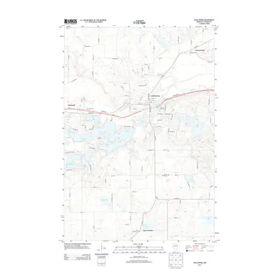
(41)- 1951 Map of Annandale, 1953 Print
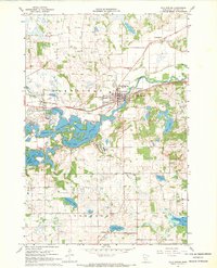
 1951 Annandale1953 Print · USGSCentral Minnesota's lake country is captured here in the early fifties, showing the rural communities of Wright and Stearns Counties. Researchers can locate numerous family landmarks, from Silver Creek Ch to numbered schoolhouses and Bungalow Island on Clearwater Lake.2 unique versions available
 - 1953 Map of Saint Cloud, 1968 Print
 1953 Saint Cloud1968 Print · USGSCentral Minnesota's lake country and the Mississippi River valley are caught in a period of steady mid-century growth. Researchers can trace historic rail lines, old granite works, and local landmarks like St. Johns University, Camp Ripley, and the shores of Lake Minnewaska.3 unique versions available
 - 1957 Map of Saint Cloud
 1957 Saint Cloud1957 Print · USGSCentral Minnesota's lake country and rail corridors are meticulously detailed in the mid-1950s. Genealogists and researchers can trace the growth of towns like Alexandria, Willmar, and Saint Cloud along the Great Northern railroad line.
 - 1958 Map of Saint Cloud
 1958 Saint Cloud1958 Print · USGSCentral Minnesota in the mid-1950s shows a landscape of growing regional hubs and hundreds of glacial lakes connected by an extensive rail network. Genealogists and historians can trace the early footprints of Saint Cloud, Alexandria, and Willmar along the Great Northern Railway.
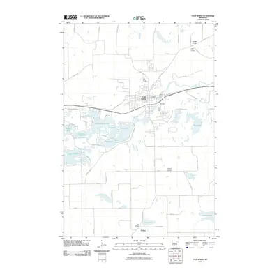
 - 1967 Map of Cold Spring, 1963 Print
 1967 Cold Spring1963 Print · USGSThe Sauk River valley and its complex chain of lakes are captured here in the late sixties. Genealogists and local researchers can trace family landmarks like St Boniface Cem, Assumption Chapel, and the rural School No 1926 near St Nicholas.2 unique versions available
 - 1967 Map of Watkins, 1968 Print
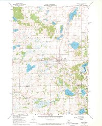
 1967 Watkins1968 Print · USGSWatkins and the surrounding central Minnesota prairies are captured here in the late sixties, showing the vital link provided by the Soo Line railroad. Genealogists and local historians can trace rural education at School No 1140 or locate the shoreline of Clear Lake and Island Lake.
 - 1967 Map of Rockville, 1969 Print
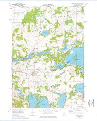
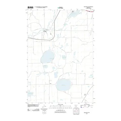
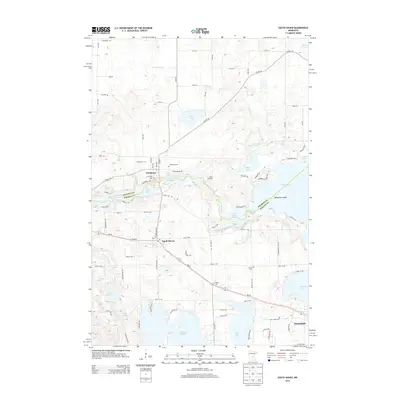
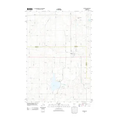
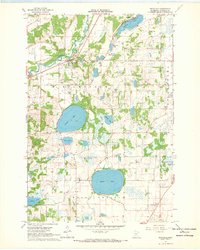 1967 Rockville1969 Print · USGSStearns County near the Sauk River in the late sixties reveals a landscape of granite quarrying and quiet lakeside settlements. Genealogists and local historians can trace the rural layout of Marty, the Maine Prairie Cemetery, and several old quarries.
 - 1967 Map of Kimball, 1969 Print
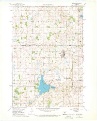
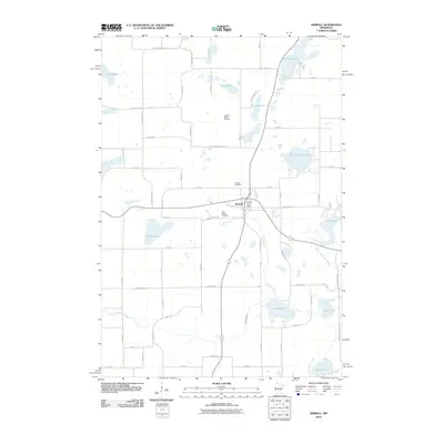
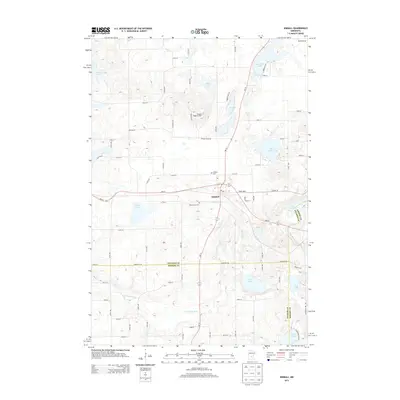
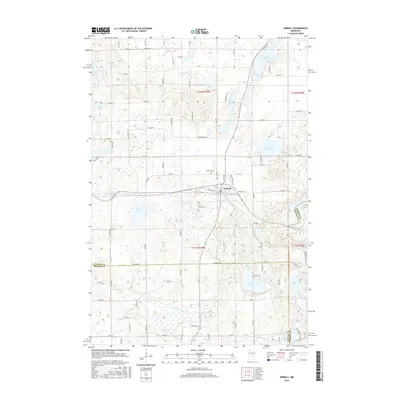
 1967 Kimball1969 Print · USGSThe village of Kimball and the surrounding prairie lakes are captured here in the late sixties as the region balanced agriculture with growing recreation. Researchers can trace the Soo Line corridor and locate local landmarks like the Drive-in Theater and St Annes Cem.2 unique versions available
 - 1974 Map of St Augusta, 1976 Print
 1974 St Augusta1976 Print · USGSStearns County was undergoing significant infrastructure growth in the mid-1970s as new highway routes were developed alongside the historic river corridor. Genealogists and local historians can trace family roots through sites like St Marys Cem, the settlement of Luxemburg, and the waters of Beaver Lake.
 - 1974 Map of South Haven, 1976 Print
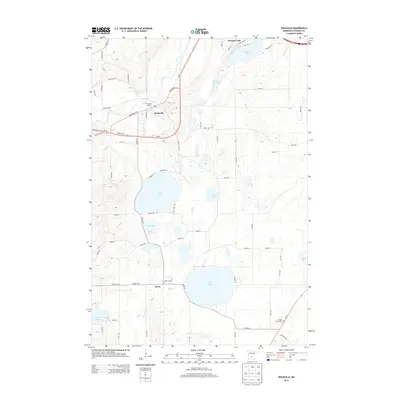
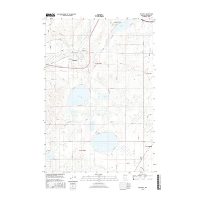
 1974 South Haven1976 Print · USGSThe lake-dotted border of Stearns and Wright counties comes into focus in the mid-seventies, showing the vital role of the SOO LINE railroad. Family historians can trace local roots through Zion Cem, Fairhaven, and St Johns Cem near Annandale.
 - 1986 Map of Litchfield
 1986 Litchfield1986 Print · USGSCentral Minnesota in the mid-eighties was a landscape of conservation and transport, where the Burlington Northern rail line connected thriving lake towns. Genealogists and historians can trace old townships and landmarks like St Nicholas, Forest City, and School House Lake.2 unique versions available
 - 2010 Map of South Haven, 2010 Print
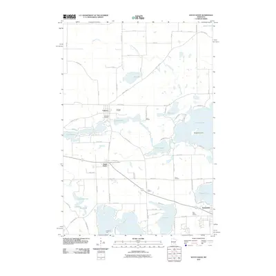 2010 South Haven2010 Print · USGSCovers Maine Prairie Township, including Annandale, South Haven, and other nearby areas
 - 2010 Map of Saint Augusta, 2010 Print
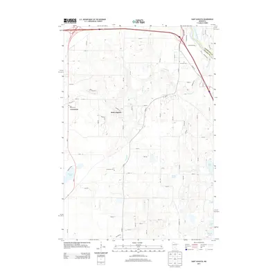
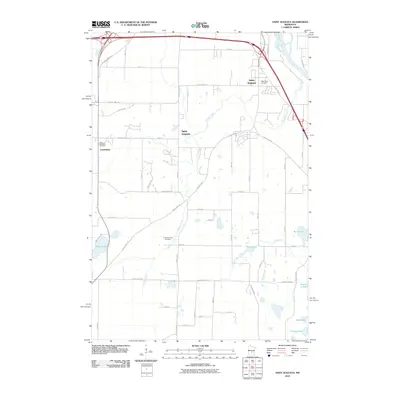 2010 Saint Augusta2010 Print · USGSCovers Maine Prairie Township, including St. Cloud, Saint Augusta, and other nearby areas
 - 2010 Map of Watkins, 2010 Print
 2010 Watkins2010 Print · USGSCovers Maine Prairie Township, including Watkins, Luxemburg Township, and other nearby areas
 - 2010 Map of Cold Spring, 2010 Print
 2010 Cold Spring2010 Print · USGSCovers Maine Prairie Township, including Cold Spring, Rockville, and other nearby areas
 - 2010 Map of Rockville, 2010 Print
 2010 Rockville2010 Print · USGSCovers Maine Prairie Township, including St. Cloud, Rockville, and other nearby areas
 - 2010 Map of Kimball, 2010 Print
 2010 Kimball2010 Print · USGSCovers Maine Prairie Township, including Kimball, Fair Haven Township, and other nearby areas
 - 2013 Map of Cold Spring, 2013 Print
 2013 Cold Spring2013 Print · USGSCovers Maine Prairie Township, including Cold Spring, Rockville, and other nearby areas
 - 2013 Map of Rockville, 2013 Print
 2013 Rockville2013 Print · USGSCovers Maine Prairie Township, including St. Cloud, Rockville, and other nearby areas
 - 2013 Map of South Haven, 2013 Print
 2013 South Haven2013 Print · USGSCovers Maine Prairie Township, including Annandale, South Haven, and other nearby areas
 - 2013 Map of Saint Augusta, 2013 Print
 2013 Saint Augusta2013 Print · USGSCovers Maine Prairie Township, including St. Cloud, Saint Augusta, and other nearby areas
 - 2013 Map of Kimball, 2013 Print
 2013 Kimball2013 Print · USGSCovers Maine Prairie Township, including Kimball, Fair Haven Township, and other nearby areas
 - 2013 Map of Watkins, 2013 Print
 2013 Watkins2013 Print · USGSCovers Maine Prairie Township, including Watkins, Luxemburg Township, and other nearby areas
 - 2016 Map of Kimball, 2016 Print
 2016 Kimball2016 Print · USGSCovers Maine Prairie Township, including Kimball, Fair Haven Township, and other nearby areas
 - 2016 Map of Rockville, 2016 Print
 2016 Rockville2016 Print · USGSCovers Maine Prairie Township, including St. Cloud, Rockville, and other nearby areas
Showing maps 1-25 of 41
Top cities near Maine Prairie Township
- St. Cloud historical maps
- Saint Cloud historical maps
- Sauk Rapids historical maps
- Waite Park historical maps
- Litchfield historical maps
- Saint Joseph historical maps
See more
Top neighborhoods of Maine Prairie Township
Frequently asked questions
- What are the different types of historical maps available for Maine Prairie Township?
- What is the oldest map of Maine Prairie Township?
- Where can I purchase historical maps of Maine Prairie Township for my home or office?
- Where can I download high-res historical maps of Maine Prairie Township?
- Are there historical topographic maps available for Maine Prairie Township?
- Is there historical aerial imagery available for Maine Prairie Township?
- Where are historical maps of Maine Prairie Township sourced from?