Old Maps of St. Martin, Minnesota for Academic Research
Study the evolution of St. Martin with 17 high-resolution historic maps. Whether you're teaching, researching, or modeling changes in land use, these maps provide essential visual documentation of urban, environmental, and geographic change.
- Analyze long-term change: Track patterns in development, transportation, and natural features.
- Ideal for environmental or urban studies: Support academic projects with primary historical map data.
- Use in the classroom or lab: Educators and researchers rely on these maps to bring historical context to life.
These maps are a powerful tool for teaching, research, and visualizing how St. Martin has changed over the decades.
St. Martin, MN maps
(17)- 1953 Map of Saint Cloud, 1968 Print
 1953 Saint Cloud1968 Print · USGSCentral Minnesota's lake country and the Mississippi River valley are caught in a period of steady mid-century growth. Researchers can trace historic rail lines, old granite works, and local landmarks like St. Johns University, Camp Ripley, and the shores of Lake Minnewaska.3 unique versions available
 - 1957 Map of Saint Cloud
 1957 Saint Cloud1957 Print · USGSCentral Minnesota's lake country and rail corridors are meticulously detailed in the mid-1950s. Genealogists and researchers can trace the growth of towns like Alexandria, Willmar, and Saint Cloud along the Great Northern railroad line.
 - 1958 Map of Saint Cloud
 1958 Saint Cloud1958 Print · USGSCentral Minnesota in the mid-1950s shows a landscape of growing regional hubs and hundreds of glacial lakes connected by an extensive rail network. Genealogists and historians can trace the early footprints of Saint Cloud, Alexandria, and Willmar along the Great Northern Railway.
 - 1965 Map of St Martin, 1966 Print
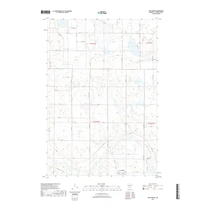
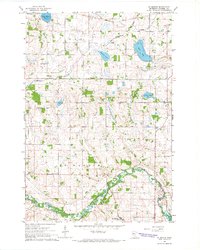 1965 St Martin1966 Print · USGSMid-century Stearns County is captured here as a landscape of river-bend villages and rural school districts. Researchers can trace the legacy of family farms near St Martin, identify old church sites like Immanuel Cem, and locate former schoolhouses such as School No 2017.
 - 1967 Map of Paynesville, 1968 Print
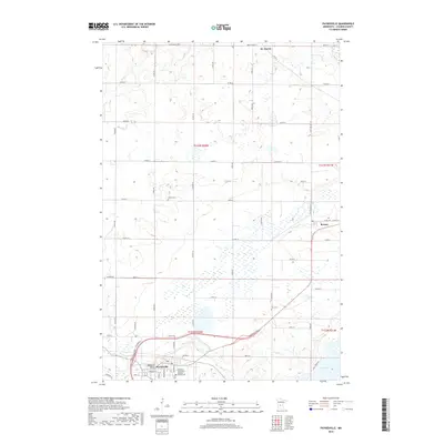
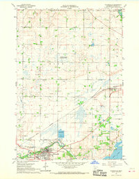 1967 Paynesville1968 Print · USGSStearns County was a landscape of rail junctions and prairie lakes during the late sixties, centered on the growing town of Paynesville. Researchers can locate rural landmarks like Salem Ch and School No 2028, or trace the paths of the SOO LINE and GREAT NORTHERN railroads.
 - 1986 Map of St. Cloud
 1986 St. Cloud1986 Print · USGSCentral Minnesota in the mid-1980s reveals a landscape where river industry and growing highway corridors meet traditional farming communities. Researchers can trace the layout of small-town landmarks like St Wendel Ch and St Anna Cem or follow the path of the Sauk River as it winds toward the Mississippi.2 unique versions available
 - 1986 Map of Litchfield
 1986 Litchfield1986 Print · USGSCentral Minnesota in the mid-eighties was a landscape of conservation and transport, where the Burlington Northern rail line connected thriving lake towns. Genealogists and historians can trace old townships and landmarks like St Nicholas, Forest City, and School House Lake.2 unique versions available
 - 2010 Map of Paynesville, 2010 Print
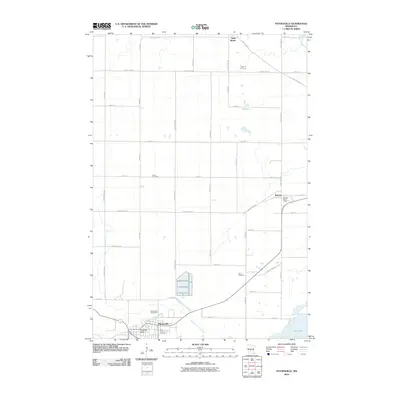 2010 Paynesville2010 Print · USGSCovers St. Martin, including Paynesville, Roscoe, and other nearby areas
 - 2010 Map of Saint Martin, 2010 Print
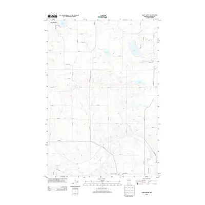
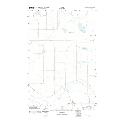 2010 Saint Martin2010 Print · USGSCovers St. Martin, including New Munich, Saint Martin, and other nearby areas
 - 2013 Map of Saint Martin, 2013 Print
 2013 Saint Martin2013 Print · USGSCovers St. Martin, including New Munich, Saint Martin, and other nearby areas
 - 2013 Map of Paynesville, 2013 Print
 2013 Paynesville2013 Print · USGSCovers St. Martin, including Paynesville, Roscoe, and other nearby areas
 - 2016 Map of Paynesville, 2016 Print
 2016 Paynesville2016 Print · USGSCovers St. Martin, including Paynesville, Roscoe, and other nearby areas
 - 2016 Map of Saint Martin, 2016 Print
 2016 Saint Martin2016 Print · USGSCovers St. Martin, including New Munich, Saint Martin, and other nearby areas
 - 2019 Map of Saint Martin, 2019 Print
 2019 Saint Martin2019 Print · USGSCovers St. Martin, including New Munich, Saint Martin, and other nearby areas
 - 2019 Map of Paynesville, 2019 Print
 2019 Paynesville2019 Print · USGSCovers St. Martin, including Paynesville, Roscoe, and other nearby areas
 - 2022 Map of Saint Martin, 2022 Print
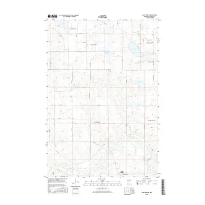
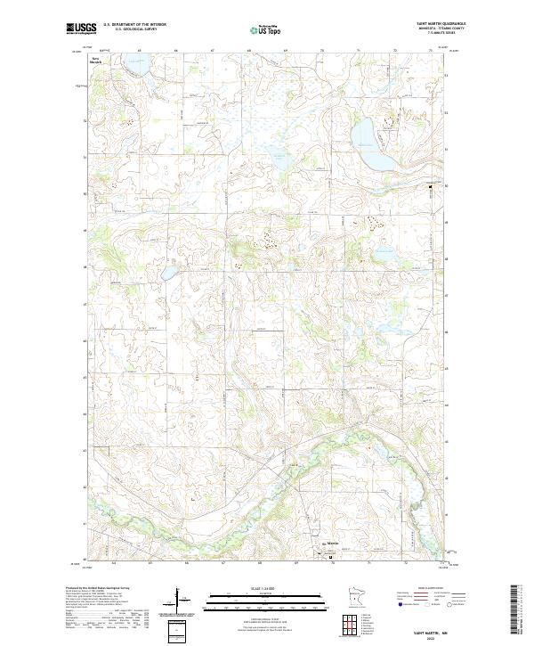 2022 Saint Martin2022 Print · USGSStearns County is shown here in the 2020s, highlighting the enduring rural character of central Minnesota. Researchers can locate the Saint Martin Cem, the village of New Munich, and the winding course of the Sauk River.
 - 2022 Map of Paynesville, 2022 Print
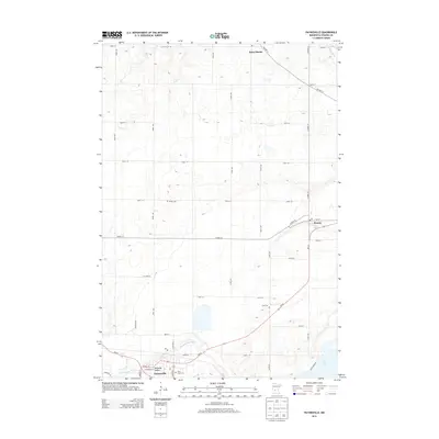
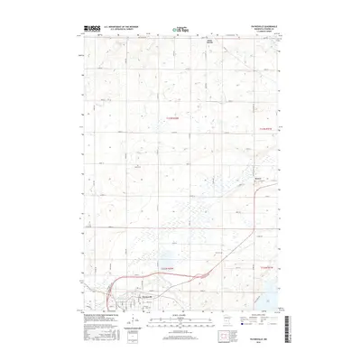
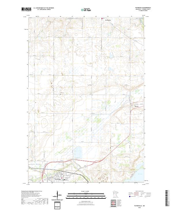 2022 Paynesville2022 Print · USGSStearns County is shown here in the early twenty-first century, centered on the growing community of Paynesville and the N Fork Crow River. Genealogists and historians can trace family locations through rural landmarks like Zion Cem, Salem Cem, and the village of St. Martin.
End of results
Showing maps 1-17 of 17
Top cities near St. Martin
- Cold Spring historical maps
- Melrose historical maps
- Paynesville historical maps
- Albany historical maps
- Avon historical maps
- Richmond historical maps
See more
Top neighborhoods of St. Martin
Frequently asked questions
- What are the different types of historical maps available for St. Martin?
- What is the oldest map of St. Martin?
- Where can I purchase historical maps of St. Martin for my home or office?
- Where can I download high-res historical maps of St. Martin?
- Are there historical topographic maps available for St. Martin?
- Is there historical aerial imagery available for St. Martin?
- Where are historical maps of St. Martin sourced from?