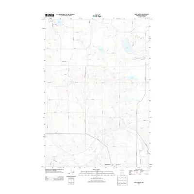
2013 Map of Saint Martin
USGS Topo · Published 2013About this map
Saint Martin and New Munich anchor this Central Minnesota landscape, where the meandering Sauk River defines the southern terrain. This 2013 topographic survey captures the agricultural and hydrologic character of Stearns County, showing a complex network of glacial lakes including Getchell Lake, Sand Lake, and Gravel Lake. The distribution of Immanuel Cem and Saint Martin Cem provides a geographic foundation for family history researchers, while the placement of the Po in Saint Martin indicates the civic center of the community.
Find a feature on this map
43 named features on this map. Tap any name to fly to it.
Don’t see what you’re looking for? This feature index may not catch every label — zoom into the map to look around manually.
Map Details
Editions of this 2013 Saint Martin Map
This is the sole edition of this map. No revisions or reprints were ever made.
Other maps of this area

1953 · Saint Cloud
USGS Topo · 1:250,000

1957 · Saint Cloud
USGS Topo · 1:250,000

1958 · Saint Cloud
USGS Topo · 1:250,000

1965 · Albany
USGS Topo · 1:24,000

1965 · Farming
USGS Topo · 1:24,000

1965 · Greenwald
USGS Topo · 1:24,000

1965 · Melrose
USGS Topo · 1:24,000

1965 · Freeport
USGS Topo · 1:24,000

1965 · St Martin
USGS Topo · 1:24,000

1967 · Paynesville
USGS Topo · 1:24,000