
1965 Map of Melrose
USGS Topo · Published 1966About this map
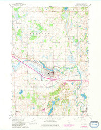
Melrose serves as the focal point of this mid-1960s survey, situated along the winding course of the Sauk River in Stearns County. The landscape is defined by the heavy presence of the Great Northern railroad and the Melrose Riverside Airfield, indicating the area's role as a regional transit and agricultural hub. Rural life is well-documented through a dense network of country schools, including School No 2046 and School No 1978, alongside several denominational cemeteries such as St Marys Cem and St Patrick Cem. To the south, the smaller settlements of Meire Grove and New Munich anchor their respective townships of Grove and Oak. The terrain is scattered with numerous glacial basins including Sylvia Lake, Lake Isabelle, and Frevels Lake, alongside many active Gravel Pits that suggest a landscape shaped by both natural drainage and local industry.
Find a feature on this map
31 named features on this map. Tap any name to fly to it.
Don’t see what you’re looking for? This feature index may not catch every label — zoom into the map to look around manually.
Map Details
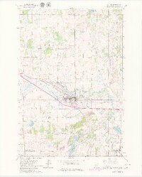
Editions of this 1965 Melrose Map
3 editions found
Other maps of this area

1950 · Swanville
USGS Topo · 1:62,500

1953 · Saint Cloud
USGS Topo · 1:250,000

1957 · Saint Cloud
USGS Topo · 1:250,000

1958 · Saint Cloud
USGS Topo · 1:250,000

1965 · Greenwald
USGS Topo · 1:24,000

1965 · Sauk Centre
USGS Topo · 1:24,000

1965 · Freeport
USGS Topo · 1:24,000

1965 · Elrosa
USGS Topo · 1:24,000

1965 · St Martin
USGS Topo · 1:24,000
1966 · Sauk Lake
USGS Topo · 1:24,000
Featured Places
- Melrose, MN
- New Munich, MN
- Meire Grove, MN
- Rose Terrace Mobile Home Park, Melrose
- Melrose Mobile Home Park, Melrose