2000s (21st Century) Maps of Blooming Prairie, Minnesota
Explore 10 historic maps of Blooming Prairie from the 2000s (21st Century). These maps offer a rare glimpse into what life looked like during the 2000s — showing old roads, neighborhoods, homes, and landmarks that have changed or disappeared over time.
Whether you're researching your family's past, planning a metal detecting trip, or studying how Blooming Prairie's landscape evolved across the 2000s, these high-resolution maps are a powerful tool for exploring the history of this region.
- Focus on a specific era: All maps on this page are from the 2000s, giving you a focused view of this time period.
- See what’s changed: Compare century-old streets, trails, and buildings to today's modern landscape using overlays and satellite layers.
- Research with precision: Use these maps for genealogy, historical research, land use analysis, or educational projects.
- View, download, or print: Maps are fully viewable online in high resolution, and can be downloaded or printed for your own records.
Start exploring Blooming Prairie's history through authentic maps from the 2000s. This is your window into the past.
Blooming Prairie, MN maps
(10)- 2010 Map of Blooming Prairie, 2010 Print
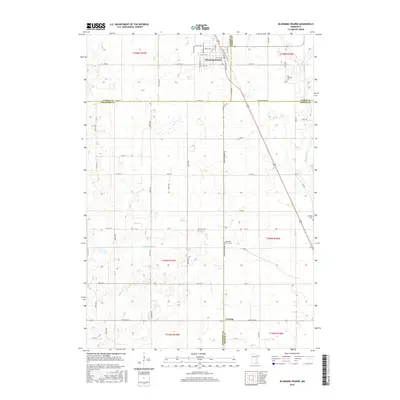
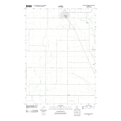 2010 Blooming Prairie2010 Print · USGSCovers Blooming Prairie, including Corning, Mower County, and other nearby areas
 - 2010 Map of Bixby, 2010 Print
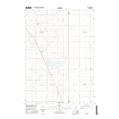
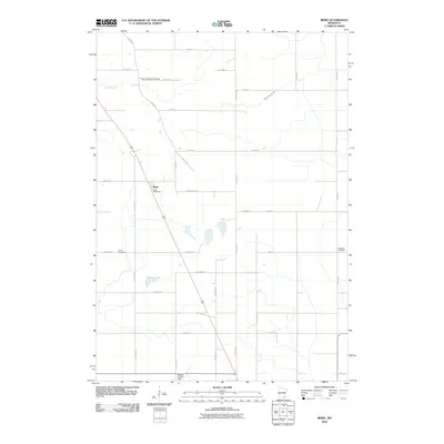 2010 Bixby2010 Print · USGSCovers Blooming Prairie, including Bixby, Steele County, and other nearby areas
 - 2013 Map of Bixby, 2013 Print
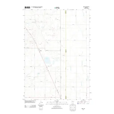 2013 Bixby2013 Print · USGSCovers Blooming Prairie, including Bixby, Steele County, and other nearby areas
 - 2013 Map of Blooming Prairie, 2013 Print
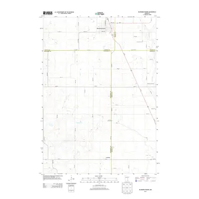 2013 Blooming Prairie2013 Print · USGSCovers Blooming Prairie, including Corning, Mower County, and other nearby areas
 - 2016 Map of Blooming Prairie, 2016 Print
 2016 Blooming Prairie2016 Print · USGSCovers Blooming Prairie, including Corning, Mower County, and other nearby areas
 - 2016 Map of Bixby, 2016 Print
 2016 Bixby2016 Print · USGSCovers Blooming Prairie, including Bixby, Steele County, and other nearby areas
 - 2019 Map of Bixby, 2019 Print
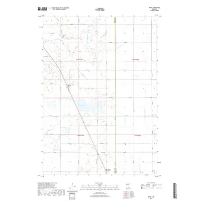 2019 Bixby2019 Print · USGSCovers Blooming Prairie, including Bixby, Steele County, and other nearby areas
 - 2019 Map of Blooming Prairie, 2019 Print
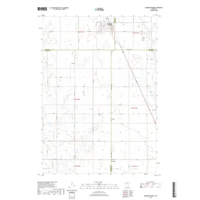 2019 Blooming Prairie2019 Print · USGSCovers Blooming Prairie, including Corning, Mower County, and other nearby areas
 - 2022 Map of Bixby, 2022 Print
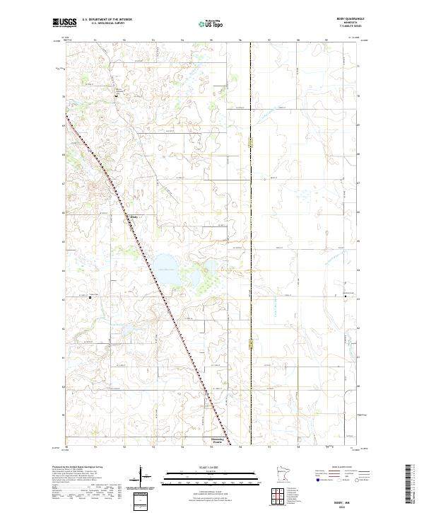 2022 Bixby2022 Print · USGSSouthern Minnesota farmland is mapped here just as the modern agricultural landscape was documented in 2022. Genealogists and local historians can trace family locations near Aurora Township Cem, Union Cem, and the rural settlement of Bixby.
 - 2022 Map of Blooming Prairie, 2022 Print
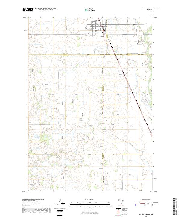 2022 Blooming Prairie2022 Print · USGSSouthern Minnesota's agricultural heartland is documented here in the early 2020s, centered on the border of four counties. Genealogists can trace family footprints at First Lutheran Cem, Red Oak Grove Cem, and the quiet crossroads of Corning.
End of results
Showing maps 1-10 of 10
Top cities near Blooming Prairie
- Owatonna historical maps
- Austin historical maps
- Dodge Center historical maps
- Hayfield historical maps
- Lansing historical maps
- Brownsdale historical maps
See more
Frequently asked questions
- What are the different types of historical maps available for Blooming Prairie?
- What is the oldest map of Blooming Prairie?
- Where can I purchase historical maps of Blooming Prairie for my home or office?
- Where can I download high-res historical maps of Blooming Prairie?
- Are there historical topographic maps available for Blooming Prairie?
- Is there historical aerial imagery available for Blooming Prairie?
- Where are historical maps of Blooming Prairie sourced from?