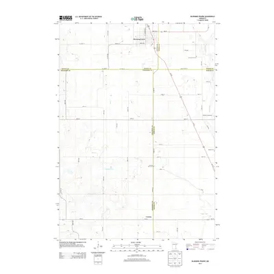
2013 Map of Blooming Prairie
USGS Topo · Published 2013About this map
Blooming Prairie serves as the primary hub of this southern Minnesota landscape, where the agricultural grid is defined by a network of county highways and local roads. The town is situated near the convergence of Steele, Dodge, and Freeborn counties, with Us-218 cutting a diagonal path southeast toward the village of Corning. This corridor highlights the importance of regional transit between the small rural centers and the surrounding farmsteads.
Find a feature on this map
45 named features on this map. Tap any name to fly to it.
Don’t see what you’re looking for? This feature index may not catch every label — zoom into the map to look around manually.
Map Details
Editions of this 2013 Blooming Prairie Map
This is the sole edition of this map. No revisions or reprints were ever made.
Other maps of this area

1954 · Hayward
USGS Topo · 1:62,500

1954 · Austin
USGS Topo · 1:62,500

1954 · Mason City
USGS Topo · 1:250,000

1957 · Mason City
USGS Topo · 1:250,000

1958 · Mason City
USGS Topo · 1:250,000

1966 · Waltham
USGS Topo · 1:24,000

1966 · Hayfield NW
USGS Topo · 1:24,000

1967 · Steele Center
USGS Topo · 1:24,000

1967 · Bixby
USGS Topo · 1:24,000

1967 · Blooming Prairie
USGS Topo · 1:24,000