Old Maps of Blooming Prairie, Minnesota for Academic Research
Study the evolution of Blooming Prairie with 16 high-resolution historic maps. Whether you're teaching, researching, or modeling changes in land use, these maps provide essential visual documentation of urban, environmental, and geographic change.
- Analyze long-term change: Track patterns in development, transportation, and natural features.
- Ideal for environmental or urban studies: Support academic projects with primary historical map data.
- Use in the classroom or lab: Educators and researchers rely on these maps to bring historical context to life.
These maps are a powerful tool for teaching, research, and visualizing how Blooming Prairie has changed over the decades.
Blooming Prairie, MN maps
(16)- 1954 Map of Mason City, 1967 Print
 1954 Mason City1967 Print · USGSSouthern Minnesota and northern Iowa are shown here at the height of the mid-century rail era, centered on the regional hubs of Mason City and Rochester. Researchers can trace the vanished paths of the Chicago Great Western and find local landmarks like Pilot Knob and Bear Lake.2 unique versions available
 - 1957 Map of Mason City
 1957 Mason City1957 Print · USGSThe Minnesota-Iowa border region comes alive in this mid-century survey, from the industrial plants of Mason City to the medical hub of Rochester. Researchers can trace the rail-and-river economy through the Chicago Great Western Railway and the Shell Rock River.
 - 1958 Map of Mason City
 1958 Mason City1958 Print · USGSSouthern Minnesota and northern Iowa are shown during the mid-fifties when railroads still anchored the regional economy. Genealogists and historians can trace the intricate rail networks of the Illinois Central and find local landmarks in Mason City, Albert Lea, and Austin.
 - 1967 Map of Bixby, 1968 Print
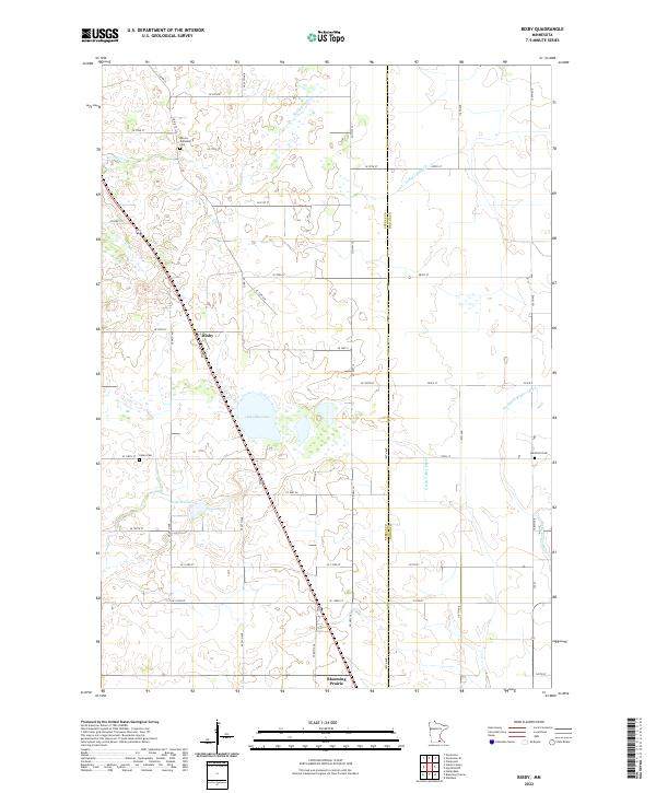
 1967 Bixby1968 Print · USGSSteele County farmland and rail-side hamlets are documented here in the late sixties. Genealogists and historians can trace the foundations of local life at Bixby, Trinity Ch, and rural landmarks like Westfield Ch Cem.2 unique versions available
 - 1967 Map of Blooming Prairie, 1968 Print
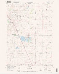
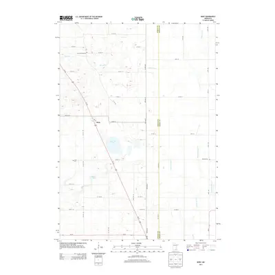
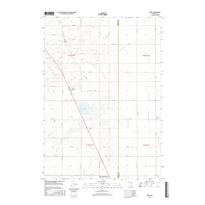
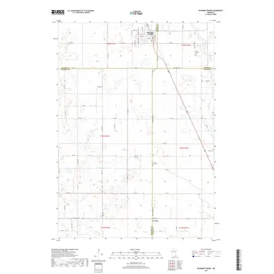
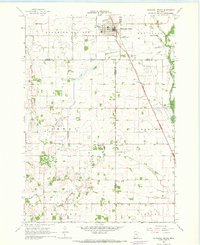 1967 Blooming Prairie1968 Print · USGSThe fertile farmlands surrounding Blooming Prairie were captured in the late sixties, showing the vital link between the Chicago Milwaukee St Paul and Pacific rail line and the prairie economy. Local historians can trace family-named landmarks and rural hubs like Red Oak Grove Ch and Selstad Landing Field.
 - 1985 Map of Albert Lea
 1985 Albert Lea1985 Print · USGSSouthern Minnesota's agricultural heartland is documented here in the mid-1980s, showing a landscape defined by industrial rail lines and managed waterways. Trace the historic routes of the Chicago and North Western and explore settlements like Hollandale, New Richland, and Bricelyn.2 unique versions available
 - 2010 Map of Blooming Prairie, 2010 Print
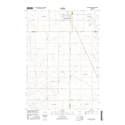
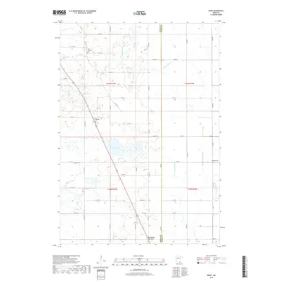
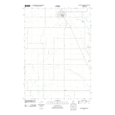 2010 Blooming Prairie2010 Print · USGSCovers Blooming Prairie, including Corning, Mower County, and other nearby areas
 - 2010 Map of Bixby, 2010 Print
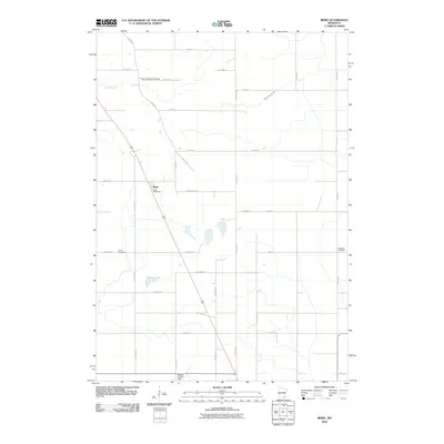 2010 Bixby2010 Print · USGSCovers Blooming Prairie, including Bixby, Steele County, and other nearby areas
 - 2013 Map of Bixby, 2013 Print
 2013 Bixby2013 Print · USGSCovers Blooming Prairie, including Bixby, Steele County, and other nearby areas
 - 2013 Map of Blooming Prairie, 2013 Print
 2013 Blooming Prairie2013 Print · USGSCovers Blooming Prairie, including Corning, Mower County, and other nearby areas
 - 2016 Map of Blooming Prairie, 2016 Print
 2016 Blooming Prairie2016 Print · USGSCovers Blooming Prairie, including Corning, Mower County, and other nearby areas
 - 2016 Map of Bixby, 2016 Print
 2016 Bixby2016 Print · USGSCovers Blooming Prairie, including Bixby, Steele County, and other nearby areas
 - 2019 Map of Bixby, 2019 Print
 2019 Bixby2019 Print · USGSCovers Blooming Prairie, including Bixby, Steele County, and other nearby areas
 - 2019 Map of Blooming Prairie, 2019 Print
 2019 Blooming Prairie2019 Print · USGSCovers Blooming Prairie, including Corning, Mower County, and other nearby areas
 - 2022 Map of Bixby, 2022 Print
 2022 Bixby2022 Print · USGSSouthern Minnesota farmland is mapped here just as the modern agricultural landscape was documented in 2022. Genealogists and local historians can trace family locations near Aurora Township Cem, Union Cem, and the rural settlement of Bixby.
 - 2022 Map of Blooming Prairie, 2022 Print
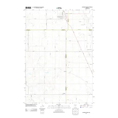
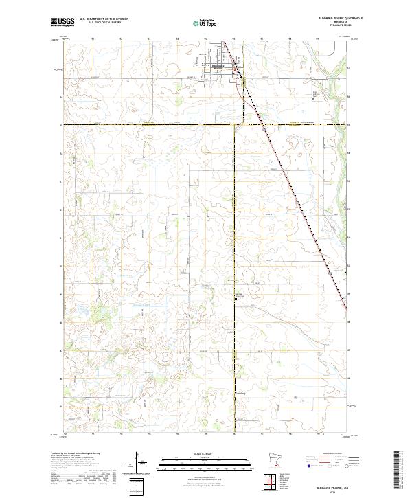 2022 Blooming Prairie2022 Print · USGSSouthern Minnesota's agricultural heartland is documented here in the early 2020s, centered on the border of four counties. Genealogists can trace family footprints at First Lutheran Cem, Red Oak Grove Cem, and the quiet crossroads of Corning.
End of results
Showing maps 1-16 of 16
Top cities near Blooming Prairie
- Owatonna historical maps
- Austin historical maps
- Dodge Center historical maps
- Hayfield historical maps
- Lansing historical maps
- Brownsdale historical maps
See more
Frequently asked questions
- What are the different types of historical maps available for Blooming Prairie?
- What is the oldest map of Blooming Prairie?
- Where can I purchase historical maps of Blooming Prairie for my home or office?
- Where can I download high-res historical maps of Blooming Prairie?
- Are there historical topographic maps available for Blooming Prairie?
- Is there historical aerial imagery available for Blooming Prairie?
- Where are historical maps of Blooming Prairie sourced from?