Old Maps of Ellendale, Minnesota for Metal Detecting
Plan your next treasure hunt with 16 historic maps of Ellendale. Find old homesites, ghost towns, trails, and gathering spots that may be lost to time — perfect for identifying promising metal detecting locations.
- Locate forgotten sites: Uncover places like long-lost settlements, abandoned rail lines, or gathering spots.
- Plan better hunts: Use map overlays combined with LiDAR or satellite views to narrow in on historically rich areas.
- Made for detectorists: Thousands of hobbyists use these maps to discover relics, coins, and hidden history.
Use these historic maps to boost your research and find new opportunities beneath the surface of Ellendale.
Ellendale, MN maps
(16)- 1954 Map of Mason City, 1967 Print
 1954 Mason City1967 Print · USGSSouthern Minnesota and northern Iowa are shown here at the height of the mid-century rail era, centered on the regional hubs of Mason City and Rochester. Researchers can trace the vanished paths of the Chicago Great Western and find local landmarks like Pilot Knob and Bear Lake.2 unique versions available
 - 1957 Map of Mason City
 1957 Mason City1957 Print · USGSThe Minnesota-Iowa border region comes alive in this mid-century survey, from the industrial plants of Mason City to the medical hub of Rochester. Researchers can trace the rail-and-river economy through the Chicago Great Western Railway and the Shell Rock River.
 - 1958 Map of Mason City
 1958 Mason City1958 Print · USGSSouthern Minnesota and northern Iowa are shown during the mid-fifties when railroads still anchored the regional economy. Genealogists and historians can trace the intricate rail networks of the Illinois Central and find local landmarks in Mason City, Albert Lea, and Austin.
 - 1967 Map of Hope, 1969 Print
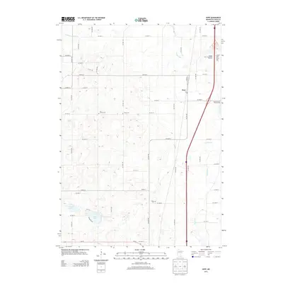
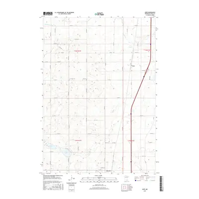
 1967 Hope1969 Print · USGSSouthern Steele County in the late sixties reveals a landscape transitioning as Interstate 35 carves through traditional farmsteads. Genealogists can locate family landmarks such as the Danish Cem, Zion Ch, and several numbered schools near Hope.
 - 1967 Map of Ellendale, 1969 Print
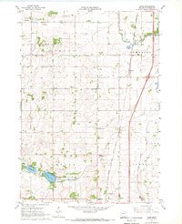
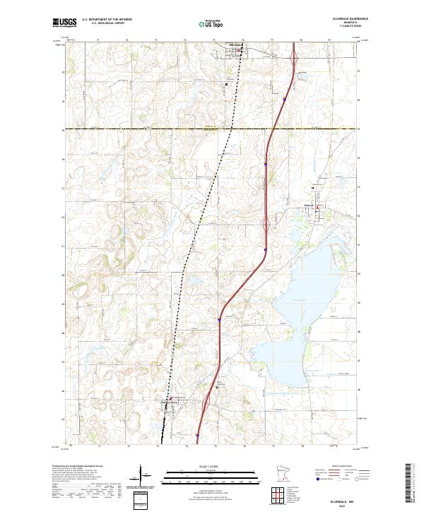
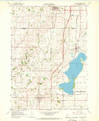 1967 Ellendale1969 Print · USGSSouthern Minnesota farmland is captured here in the late sixties as the new interstate highway began to reshape rural life. Genealogists and local historians can trace the foundations of Ellendale, Geneva, and Clarks Grove, along with landmarks like North Freeborn Ch and Lutheran Cem.
 - 1985 Map of Albert Lea
 1985 Albert Lea1985 Print · USGSSouthern Minnesota's agricultural heartland is documented here in the mid-1980s, showing a landscape defined by industrial rail lines and managed waterways. Trace the historic routes of the Chicago and North Western and explore settlements like Hollandale, New Richland, and Bricelyn.2 unique versions available
 - 2010 Map of Ellendale, 2010 Print
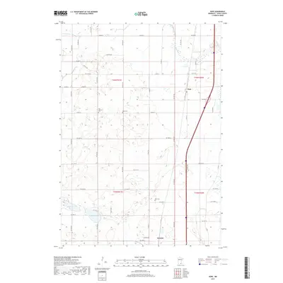
 2010 Ellendale2010 Print · USGSCovers Ellendale, including Clarks Grove, Geneva, and other nearby areas
 - 2010 Map of Hope, 2010 Print
 2010 Hope2010 Print · USGSCovers Ellendale, including Hope, Steele County, and other nearby areas
 - 2013 Map of Hope, 2013 Print
 2013 Hope2013 Print · USGSCovers Ellendale, including Hope, Steele County, and other nearby areas
 - 2013 Map of Ellendale, 2013 Print
 2013 Ellendale2013 Print · USGSCovers Ellendale, including Clarks Grove, Geneva, and other nearby areas
 - 2016 Map of Hope, 2016 Print
 2016 Hope2016 Print · USGSCovers Ellendale, including Hope, Steele County, and other nearby areas
 - 2016 Map of Ellendale, 2016 Print
 2016 Ellendale2016 Print · USGSCovers Ellendale, including Clarks Grove, Geneva, and other nearby areas
 - 2019 Map of Hope, 2019 Print
 2019 Hope2019 Print · USGSCovers Ellendale, including Hope, Steele County, and other nearby areas
 - 2019 Map of Ellendale, 2019 Print
 2019 Ellendale2019 Print · USGSCovers Ellendale, including Clarks Grove, Geneva, and other nearby areas
 - 2022 Map of Hope, 2022 Print
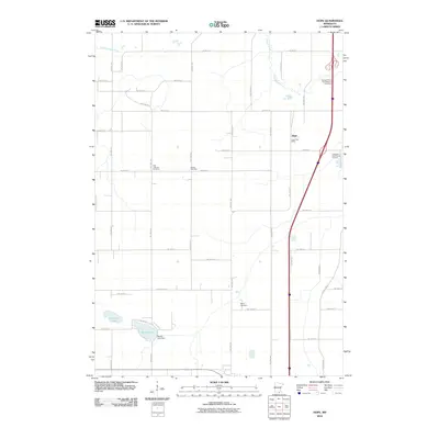
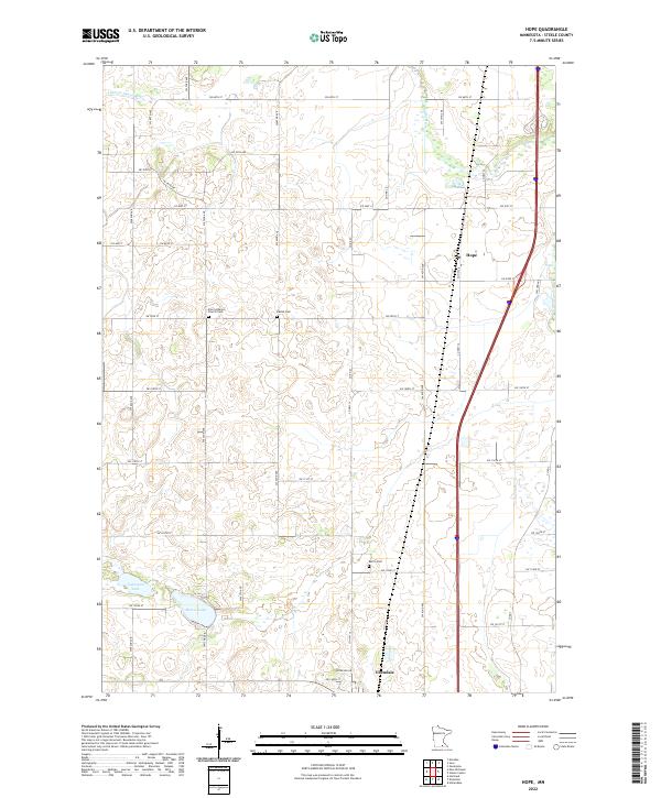 2022 Hope2022 Print · USGSSteele County at the start of the 2020s shows a classic Minnesota prairie landscape of small towns and well-preserved section lines. Researchers can trace family history at the Zion Lutheran Church Cem or explore the geography of Beaver Lake and Hope.
 - 2022 Map of Ellendale, 2022 Print
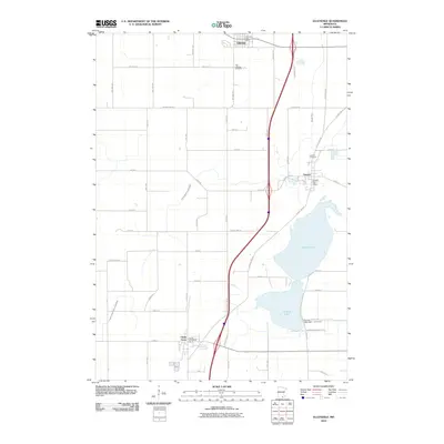
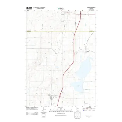
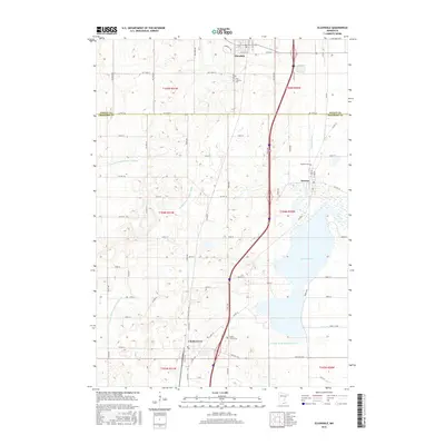
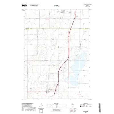
 2022 Ellendale2022 Print · USGSSouthern Minnesota prairie life is centered on the waters of Geneva Lake in this 2022 survey. Genealogists can locate family sites near Clarks Grove Cem, Geneva Cem, and the settlements of Ellendale and Geneva.
End of results
Showing maps 1-16 of 16
Top cities near Ellendale
- Owatonna historical maps
- Albert Lea historical maps
- Waseca historical maps
- Blooming Prairie historical maps
- New Richland historical maps
- Bancroft historical maps
See more
Frequently asked questions
- What are the different types of historical maps available for Ellendale?
- What is the oldest map of Ellendale?
- Where can I purchase historical maps of Ellendale for my home or office?
- Where can I download high-res historical maps of Ellendale?
- Are there historical topographic maps available for Ellendale?
- Is there historical aerial imagery available for Ellendale?
- Where are historical maps of Ellendale sourced from?