Old Maps of Alberta, Minnesota for Metal Detecting
Plan your next treasure hunt with 11 historic maps of Alberta. Find old homesites, ghost towns, trails, and gathering spots that may be lost to time — perfect for identifying promising metal detecting locations.
- Locate forgotten sites: Uncover places like long-lost settlements, abandoned rail lines, or gathering spots.
- Plan better hunts: Use map overlays combined with LiDAR or satellite views to narrow in on historically rich areas.
- Made for detectorists: Thousands of hobbyists use these maps to discover relics, coins, and hidden history.
Use these historic maps to boost your research and find new opportunities beneath the surface of Alberta.
Alberta, MN maps
(11)- 1910 Map of Chokio, 1968 Print
 1910 Chokio1968 Print · USGSStevens County is shown here at the height of its rail-and-schoolhouse era in the early twentieth century. Genealogists can locate specific rural properties near landmarks like Harstad Slough, Town Hall, and over twenty numbered school sites including School No 35.
 - 1912 Map of Chokio
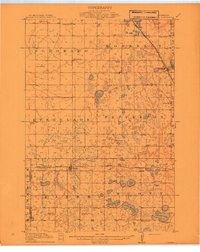 1912 Chokio1912 Print · USGSWestern Minnesota prairie life is centered on the rail lines of Donnelly and Chokio during the early twentieth century. Genealogists and researchers can trace local school districts from School No 56 to School No 42 and locate landmarks like the Town Hall and Harstad Slough.
 - 1953 Map of Milbank, 1958 Print
 1953 Milbank1958 Print · USGSThe tri-state border region of South Dakota, North Dakota, and Minnesota is shown here during the early fifties, a landscape defined by glacial lakes and the Sisseton Indian Reservation. Researchers can trace the legacy of the western railroads, locating old stops along the Great Northern and settlements like Milbank, Webster, and Sisseton.3 unique versions available
 - 1958 Map of Milbank
 1958 Milbank1958 Print · USGSThe northern Great Plains in the late fifties show a landscape of glacial lakes and reservation lands shaped by the Great Northern railroad. Genealogists and local historians can trace the grid of settlements from Britton to Milbank and locate landmarks like Enemy Swim Lake and the Sisseton Indian Reservation.
 - 1973 Map of Alberta, 1975 Print
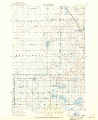
 1973 Alberta1975 Print · USGSStevens County agriculture and conservation meet in the early seventies near the small rail town of Alberta. Genealogists and local researchers can trace the rural layout of Scott Twp, locating landmarks like the Townhall, Pepperton Ch Cem, and the Burlington Northern tracks.
 - 1985 Map of Wheaton
 1985 Wheaton1985 Print · USGSThe tri-state border region of Minnesota and the Dakotas is captured in the mid-1980s, defined by its prairie wetlands and rail-fed farming towns. Researchers can trace the Burlington Northern line through Wheaton and Graceville or locate family-named landmarks like Carlson Island.2 unique versions available
 - 2010 Map of Alberta, 2010 Print
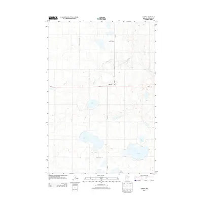
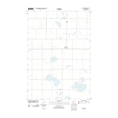 2010 Alberta2010 Print · USGSCovers Alberta, including Stevens County, United States, and other nearby areas
 - 2013 Map of Alberta, 2013 Print
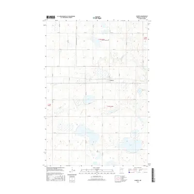
 2013 Alberta2013 Print · USGSCovers Alberta, including Stevens County, United States, and other nearby areas
 - 2016 Map of Alberta, 2016 Print
 2016 Alberta2016 Print · USGSCovers Alberta, including Stevens County, United States, and other nearby areas
 - 2019 Map of Alberta, 2019 Print
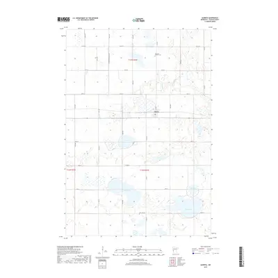 2019 Alberta2019 Print · USGSCovers Alberta, including Stevens County, United States, and other nearby areas
 - 2022 Map of Alberta, 2022 Print
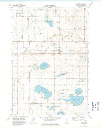
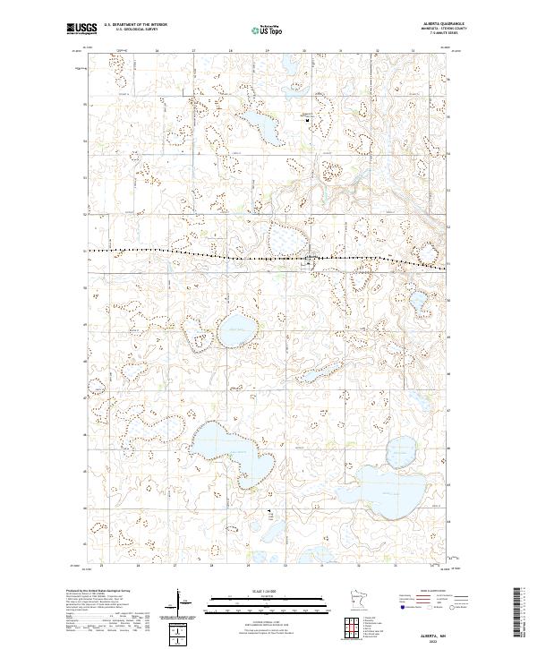 2022 Alberta2022 Print · USGSThe rural prairie landscape around Alberta comes to life in this recent survey of Stevens County's lake-strewn townships. Researchers can trace family history through local landmarks like Pepperton Methodist Cem, Frog Lake Cem, and the shores of Lake Hattie.
End of results
Showing maps 1-11 of 11
Top cities near Alberta
- Morris historical maps
- Chokio historical maps
- Donnelly historical maps
- Fairfield historical maps
- Artichoke historical maps
Frequently asked questions
- What are the different types of historical maps available for Alberta?
- What is the oldest map of Alberta?
- Where can I purchase historical maps of Alberta for my home or office?
- Where can I download high-res historical maps of Alberta?
- Are there historical topographic maps available for Alberta?
- Is there historical aerial imagery available for Alberta?
- Where are historical maps of Alberta sourced from?